ipswich IP22 Postcodes
Spending a fortune on conveyancing?

Compare instant, low-cost online quotes from trusted conveyancing solicitors.
Backed by experts, our no-obligation service searches through the best conveyancing quotes on the market to save you time and money.
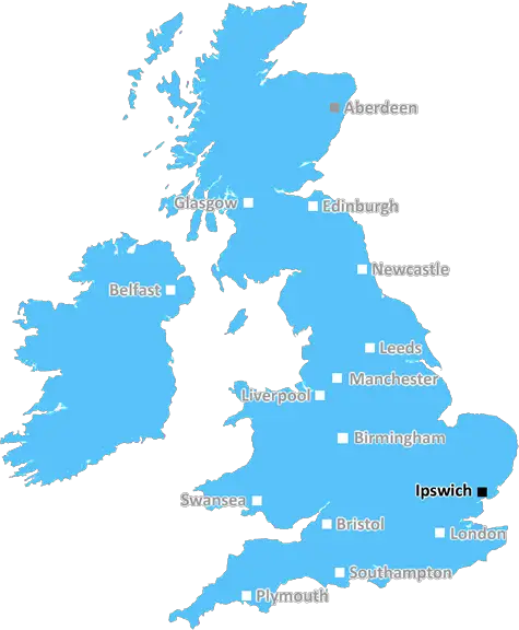
Ipswich (IP22)
The IP22 postcode area is located in the Ipswich postcode town region, within the county of Suffolk, and contains a total of 1351 individual postcodes.
There are 111 electoral wards in the IP22 postcode area, including Aldeburgh, Brandon, Bury St Edmunds, Diss, Eye, Felixstowe, Halesworth, Harleston, Ipswich, Leiston, Saxmundham, Southwold, Stowmarket, Thetford, Woodbridge which come under the local authority of the Mid Suffolk Council.
Combining the whole postcode region, 21% of people in IP22 are classed as having an AB social grade, (i.e. 'white-collar' middle-upper class), compared to 27% across the UK.
This does not mean that the people of IP22 are poorer than other areas, but it may give an indication that there are areas of deprivation.
The IP22 postcode is located in the Ipswich district of Suffolk, in the East of England, UK. It includes the small towns of Earl Soham, Occold and Bramfield, and covers a small rural area, including the hamlets of Otley Green and Dallinghoo.
The area has some sites of interest, such as Otley Hall, a 16th-century manor house set within its own moat and gardens, and High Lodge, a recreation and conservation centre. Ancient woodland, heaths and grassland also form part of the postcode, creating an ideal habitat for many species of wildlife. Local villages in the area include Earl Soham, Edible, Occold, Newbourne, Otley and Bramfield.
The IP22 postcode is primarily residential, with a good mix of housing types, catering to a variety of lifestyles and budgets. The area is highly desirable due to its excellent transport links: the A12 and A14 are both close by, whilst Ipswich town centre is just 14 miles away. Both Stowmarket and Diss railway stations are only a short drive away, providing a convenient way to get around and explore.
For those that like to enjoy the outdoors, the area offers ample opportunity to do so. The River Deben runs through the IP22 postcode, providing a pleasant fishing and boating spot. Also, Castle Hill Country Park is nearby, with its rolling hills, stunning woodland and open spaces. This makes the area perfect for walking, cycling and simply taking in the breathtaking countryside views.
Shops and other services can be found in nearby villages; markets and supermarkets are easily accessible in the larger towns nearby, and there are plenty of restaurants, pubs and takeaways. The area has a real community feel, with the local villages offering plenty of activities for all ages, such as a local pantomime, quizzes and country fairs.

Demographics

Suffolk

IP22 is located in the county of Suffolk, in England.
Suffolk has a total population of 745,300, making it the 32nd largest county in the UK.
Suffolk has a total area of 1500 square miles, and a population density of 196 people per square kilometre. For comparison, Greater London has a density of 5,618 people/km2.
| Outward Code | IP22 |
| Postal Town | Ipswich |
| MSOA Name | Mid Suffolk 001 |
| LSOA Name | Mid Suffolk 001C |
| County | Suffolk |
| Region | Suffolk |
| Country | England |
| Local Authority | Mid Suffolk |
| Area Classification | Mainly Rural (rural including hub towns >=80%) |
IP22 Electoral Wards
The postal region of IP22, includes the local towns, villages, electoral wards and stations of:
Dig even deeper into the IP22 postcode by clicking on a postcode below:
Click on an outward postal code below for more information about the area. Each 'outward' postcode give you a comprehensive list of all postcodes within the outward code area (IP) and estimated address.
Click on an 'outward' code for more information. For example, the outward postcode page 'EC2M' will give you an alphabetical list covering all postcodes located in the region, from 'EC2M 1BB' through to 'EC2M 7YA'.
Chris H
Saturday, April 6, 2024
We don't have any views of IP22 right now. If you live in IP22 or have visited it, please help us to help others by telling others what you think of this neighbourhood.
Add your view of IP22
People need your local expertise. If you live in IP22 or have first-hand knowledge of the neighbourhood, please consider sharing your views. It's completely anonymous - all we ask is for your initials.
Please tell us what you like about the IP22 postcode area, what you don't like, and what it's like to live or work here.
| LOCAL AMENITIES | |
| FAMILY FRIENDLY | |
| PARKING | |
| GREEN SPACES |
Local News Norfolk
Fans urged to check train times before derby match
Ipswich fans going to Norwich could be affected by timetable changes due to strike action.
BBC NewsRegion faces rail strike disruption
Industrial action will take place across five days affecting the Greater Anglia network.
BBC NewsPolice reassure fans ahead of East Anglian derby
Industrial action on the trains is expected to disrupt travel for some fans heading to Carrow Road.
BBC NewsLeaders Ipswich go 'head-on' in derby at Norwich
Championship leaders Ipswich travel to play-off chasing Norwich for the East Anglian derby, with both sides eyeing promotion.
BBC News'Industrial revolution history needs rewriting'
Records reveal "Britain was a nation of makers" a century earlier than thought, says an expert.
BBC NewsPolice investigate death of man found on beach
While the man's death is unexplained, police do not believe it to be suspicious.
BBC NewsNorwich v Ipswich start EFL schedule - radio & live text
Follow Squad Goals commentary & live text from Saturday's action from across the Championship, League One and League Two.
BBC NewsWarning ahead of fresh round of train strikes
Passengers told to plan ahead as rail and underground services to be hit by weekend walkouts.
BBC NewsFrom the Postcode Area blog

Deciphering Crime Rates - a Deep Dive Into UK Postcode Analysis
Ever wondered about the crime rate in your UK postcode? You're not alone. We've dug deep into the data, uncovering trends and patterns that'll make your head spin.

Death of the High Street?
The BBC reports that despite councils' attempts to kurb them, the UK's high streets have seen a huge growth in fast food outlets. Could this mark the death knell for the Great British high street, and what can we do about it to halt its decline?

Discrimination by Postcode
You really couldn't make it up, could you? Some of the country's most vulnerable people are missing out on their weekly £25 Cold Weather Payment, just because the system that's in operation is discriminating against them because payments are based on postcode, rather than geographic location.

The Redesign is Underway
Well, the current website was absolutely in dire need of a good redesign - from the ground up. So I set out to pull it all apart and get it up and running again to become the most comprehensive guide to every postcode in the UK. And it's been a long, tough job from start to finish - and quite possibly the biggest project I've ever undertaken.
SOCIAL GRADES
According to census records, 21% of people here have a social grade of AB (highest), compared to the national average of 27%.