huddersfield HD5 Postcodes
Spending a fortune on conveyancing?

Compare instant, low-cost online quotes from trusted conveyancing solicitors.
Backed by experts, our no-obligation service searches through the best conveyancing quotes on the market to save you time and money.
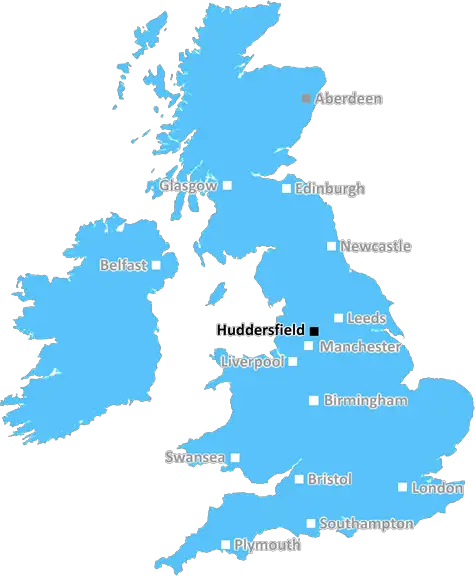
Huddersfield (HD5)
The HD5 postcode area is located in the Huddersfield postcode town region, within the county of West Yorkshire, and contains a total of 858 individual postcodes.
There are 27 electoral wards in the HD5 postcode area, including Brighouse, Holmfirth, Huddersfield which come under the local authority of the Kirklees Council.
Combining the whole postcode region, 16% of people in HD5 are classed as having an AB social grade, (i.e. 'white-collar' middle-upper class), compared to 27% across the UK.
This does not mean that the people of HD5 are poorer than other areas, but it may give an indication that there are areas of deprivation.
The HD5 postcode covers the Huddersfield district, which is an area of the west Yorkshire borough of Kirklees. It is situated south of the town of Huddersfield and is bordered by the districts of Denby Dale, Birstall, Upper Batley, Lower Batley and North Huddersfield. The area is home to many thriving business parks and industrial estates, including the Kirklees Gateway Business Park, Kirklees Light Industrial Park and Highfields Business Park.
HD5 is well served by a number of excellent transport links, including the M62 motorway and Huddersfield train station. The area is also close to major cities such as Leeds, Bradford and Manchester, all of which are only a 30 minute drive away.
The local area is home to a variety of popular shopping outlets, parks and green spaces, as well as a number of tourist attractions. Popular places to visit in the area are Oakwell Hall Country Park, the University of Huddersfield and the John Smith's Stadium. The area also benefits from a lively town centre with a thriving cultural and nightlife scene.
HD5 is known for being very family friendly and has a number of large green spaces, such as Brooke's Mill Nature Reserve, which is ideal for outdoor activities and picnics. There are also plenty of activities for children, such as play areas, outdoor sports and local attractions. Recreation areas such as Greenhead Park, as well as nearby nurseries, schools and colleges, make HD5 a great place to bring up children.
For families looking for further amenities, HD5 is also home to a variety of retail outlets for shopping and leisure. Popular retail outlets include Marks and Spencer's, Asda and Tesco, as well as a range of local independent retailers. The area also offers popular eateries, such as the Milnthorpe Steakhouse and The Saddleworth Pizza Company, which are ideal for family meals.
In addition to its lively town centre and family-friendly vibe, HD5 also boasts a number of universities, making it an ideal location for students, including the University of Huddersfield and Leeds Beckett University. The area also has a high percentage of residents involved in the creative industries, making it an attractive place for those seeking employment in the area.

Demographics
West Yorkshire

HD5 is located in the county of West Yorkshire, in England.
West Yorkshire has a total population of 2,299,700, making it the 4th largest county in the UK.
West Yorkshire has a total area of 783 square miles, and a population density of 1133 people per square kilometre. For comparison, Greater London has a density of 5,618 people/km2.
| Outward Code | HD5 |
| Postal Town | Huddersfield |
| MSOA Name | Kirklees 037 |
| LSOA Name | Kirklees 037B |
| County | West Yorkshire |
| Region | West Yorkshire |
| Country | England |
| Local Authority | Kirklees |
| Area Classification | Urban with Major Conurbation |
HD5 Electoral Wards
The postal region of HD5, includes the local towns, villages, electoral wards and stations of:
Dig even deeper into the HD5 postcode by clicking on a postcode below:
Click on an outward postal code below for more information about the area. Each 'outward' postcode give you a comprehensive list of all postcodes within the outward code area (HD) and estimated address.
Click on an 'outward' code for more information. For example, the outward postcode page 'EC2M' will give you an alphabetical list covering all postcodes located in the region, from 'EC2M 1BB' through to 'EC2M 7YA'.
Chris H
Saturday, April 6, 2024
We don't have any views of HD5 right now. If you live in HD5 or have visited it, please help us to help others by telling others what you think of this neighbourhood.
Add your view of HD5
People need your local expertise. If you live in HD5 or have first-hand knowledge of the neighbourhood, please consider sharing your views. It's completely anonymous - all we ask is for your initials.
Please tell us what you like about the HD5 postcode area, what you don't like, and what it's like to live or work here.
| LOCAL AMENITIES | |
| FAMILY FRIENDLY | |
| PARKING | |
| GREEN SPACES |
Local News West Yorkshire
Deaf team assistant condemns 'offensive' jibes
Footballers in the Leeds team are regularly mocked for having impaired hearing, Matt Dixon says.
BBC NewsTom Holmes: Bradford Bulls full-back targets playing return after rare illness
Bradford Bulls full-back Tom Holmes is looking to make a "special" return to playing after having a rare form of skin lymphoma.
BBC NewsLeeds United fan injured during FA Cup tie at Chelsea
A Leeds United supporter is "in the hands of the emergency services" after appearing to fall from the stand in their FA Cup tie at Chelsea.
BBC NewsFebruary 29: 'Leaplings' finally get to celebrate their birthdays
Three people in Yorkshire born on 29 February can only mark their "real" birthdays every four years.
BBC NewsCounty Championship: Yorkshire take five Leicestershire wickets on rain-hit day one
George Hill takes three wickets as Yorkshire chip away at Leicestershire on a rain-hit opening day.
BBC NewsRapper Ja Rule denied UK entry ahead of Cardiff gig
The musician says his criminal record was the reason he has to shelve the British leg of his tour.
BBC NewsWakefield council tax rise agreed amid angry scenes at meeting
A Wakefield Council budget meeting is adjourned after a heated debate over spending cuts.
BBC NewsPlans for former Leeds school site put forward
Sports pitches, shops, housing and a special needs school have all been lined up by Leeds Council.
BBC NewsFrom the Postcode Area blog

Deciphering Crime Rates - a Deep Dive Into UK Postcode Analysis
Ever wondered about the crime rate in your UK postcode? You're not alone. We've dug deep into the data, uncovering trends and patterns that'll make your head spin.

Death of the High Street?
The BBC reports that despite councils' attempts to kurb them, the UK's high streets have seen a huge growth in fast food outlets. Could this mark the death knell for the Great British high street, and what can we do about it to halt its decline?

Discrimination by Postcode
You really couldn't make it up, could you? Some of the country's most vulnerable people are missing out on their weekly £25 Cold Weather Payment, just because the system that's in operation is discriminating against them because payments are based on postcode, rather than geographic location.

The Redesign is Underway
Well, the current website was absolutely in dire need of a good redesign - from the ground up. So I set out to pull it all apart and get it up and running again to become the most comprehensive guide to every postcode in the UK. And it's been a long, tough job from start to finish - and quite possibly the biggest project I've ever undertaken.
SOCIAL GRADES
According to census records, 16% of people here have a social grade of AB (highest), compared to the national average of 27%.