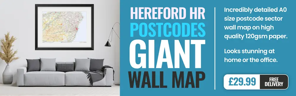
hereford HR7 Postcodes
Spending a fortune on conveyancing?

Compare instant, low-cost online quotes from trusted conveyancing solicitors.
Backed by experts, our no-obligation service searches through the best conveyancing quotes on the market to save you time and money.
Hereford (HR7)
The HR7 postcode area is located in the Hereford postcode town region, within the county of Herefordshire, and contains a total of 332 individual postcodes.
There are 75 electoral wards in the HR7 postcode area, including Bromyard, Hereford, Kington, Ledbury, Leominster, Ross-On-Wye which come under the local authority of the Herefordshire, County of Council.
Combining the whole postcode region, 24% of people in HR7 are classed as having an AB social grade, (i.e. 'white-collar' middle-upper class), compared to 27% across the UK.
This does not mean that the people of HR7 are poorer than other areas, but it may give an indication that there are areas of deprivation.
The HR7 postcode in the Hereford district is an area located in Herefordshire, West Midlands, England. It is home to the villages of Orleton, Luston, Dilwyn, and Eardisland. The postcode serves a total population of around 9,500 people living in the area's 3,577 households.
The area is known for its rural beauty, with rolling hills and idyllic village scenes surrounded by forests and open fields. There is a collection of small businesses and shops in the area, as well as pubs, restaurants, and churches. The area is also home to many historical landmarks, such as the 11th-century St. Mary's Church in Luston.
HR7 includes some of England's most sought-after schools, including St Peter's High School and Kingsland Primary and Nursery School. There are also a few private secondary schools in the area, such as Monmouth School and Hereford Cathedral School. This makes the HR7 postcode an excellent choice for families looking for a good school system.
The HR7 postcode also boasts some excellent outdoor activities, with several forests, rivers, and parks in the area. Popular outdoor activities in the area include fishing in the nearby River Wye, biking, and hiking. Given its rural beauty, HR7 is also great for agritourism, with plenty of local farms and orchards offering fresh, local produce for visitors.
The HR7 postcode is also well-connected, with convenient access to the A49 and A465 roads, which offer direct links to Worcester, Hereford, and Ross-on-Wye. There is also a regular bus service to nearby Hereford, with journey times of around 20 minutes. The closest railway station is in Hereford, which provides direct links to Birmingham, Cardiff, and London.

Demographics
Herefordshire

HR7 is located in the county of Herefordshire, in England.
Herefordshire has a total population of 189,300, making it the 45th largest county in the UK.
Herefordshire has a total area of 841 square miles, and a population density of 86 people per square kilometre. For comparison, Greater London has a density of 5,618 people/km2.

| Outward Code | HR7 |
| Postal Town | Hereford |
| MSOA Name | Herefordshire 005 |
| LSOA Name | Herefordshire 005F |
| County | Herefordshire |
| Region | Herefordshire |
| Country | England |
| Local Authority | Herefordshire, County of |
| Area Classification | Largely Rural (rural including hub towns 50-79%) |
HR7 Electoral Wards
The postal region of HR7, includes the local towns, villages, electoral wards and stations of:
Dig even deeper into the HR7 postcode by clicking on a postcode below:
Click on an outward postal code below for more information about the area. Each 'outward' postcode give you a comprehensive list of all postcodes within the outward code area (HR) and estimated address.
Click on an 'outward' code for more information. For example, the outward postcode page 'EC2M' will give you an alphabetical list covering all postcodes located in the region, from 'EC2M 1BB' through to 'EC2M 7YA'.
Chris H
Saturday, April 6, 2024
We don't have any views of HR7 right now. If you live in HR7 or have visited it, please help us to help others by telling others what you think of this neighbourhood.
Add your view of HR7
People need your local expertise. If you live in HR7 or have first-hand knowledge of the neighbourhood, please consider sharing your views. It's completely anonymous - all we ask is for your initials.
Please tell us what you like about the HR7 postcode area, what you don't like, and what it's like to live or work here.
| LOCAL AMENITIES | |
| FAMILY FRIENDLY | |
| PARKING | |
| GREEN SPACES |
From the Postcode Area blog

Deciphering Crime Rates - a Deep Dive Into UK Postcode Analysis
Ever wondered about the crime rate in your UK postcode? You're not alone. We've dug deep into the data, uncovering trends and patterns that'll make your head spin.

Death of the High Street?
The BBC reports that despite councils' attempts to kurb them, the UK's high streets have seen a huge growth in fast food outlets. Could this mark the death knell for the Great British high street, and what can we do about it to halt its decline?

Discrimination by Postcode
You really couldn't make it up, could you? Some of the country's most vulnerable people are missing out on their weekly £25 Cold Weather Payment, just because the system that's in operation is discriminating against them because payments are based on postcode, rather than geographic location.

The Redesign is Underway
Well, the current website was absolutely in dire need of a good redesign - from the ground up. So I set out to pull it all apart and get it up and running again to become the most comprehensive guide to every postcode in the UK. And it's been a long, tough job from start to finish - and quite possibly the biggest project I've ever undertaken.
SOCIAL GRADES
According to census records, 24% of people here have a social grade of AB (highest), compared to the national average of 27%.