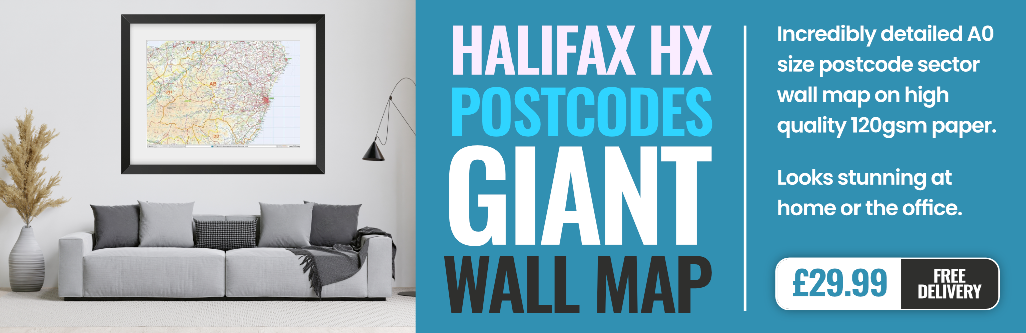
halifax HX4 Postcodes
Spending a fortune on conveyancing?

Compare instant, low-cost online quotes from trusted conveyancing solicitors.
Backed by experts, our no-obligation service searches through the best conveyancing quotes on the market to save you time and money.
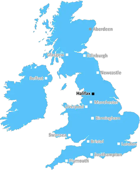
Halifax (HX4)
The HX4 postcode area is located in the Halifax postcode town region, within the county of West Yorkshire, and contains a total of 511 individual postcodes.
There are 39 electoral wards in the HX4 postcode area, including Elland, Halifax, Hebden Bridge, Sowerby Bridge which come under the local authority of the Calderdale Council.
Combining the whole postcode region, 28% of people in HX4 are classed as having an AB social grade, (i.e. 'white-collar' middle-upper class), compared to 27% across the UK.
This does not mean that the people of HX4 are wealthier - or higher class - than average, but it can be an indication that the area may be prospering and desirable to live in.
HX4 is a postcode district covering the south western outskirts of Halifax in West Yorkshire. The area is composed of primarily residential areas, but there are industrial estates near the postcode boundary, and some retail and leisure developments along the A58.
The area was first developed in the 1950s as part of the 'Back-to-Back Garden Suburb' following the Second World War. Much of the housing stock was demolished in the 1990s and replaced with modern housing developments, as well as retail and commercial units.
The area is served by a variety of public transport options, including bus routes, taxis, and rail services which run between Halifax and Manchester. Some of the main roads in the area are the A58, which runs through the north-west of the district, and the A644, which runs along the southern edge of the postcode.
HX4 is served by both the Calderdale Royal Hospital and Brighouse and Rastrick Primary Care Centre, located in neighbouring districts. The area also has several primary and secondary schools, such as Haugh Shaw Primary School and The Brooksbank School.
The area is home to two well known residential parks: Hollas Crossley Park and Harris Park. Both parks feature former industrial and agricultural land that has been converted into local nature reserves, providing ideal places for walkers, cyclists, and horse riders.
HX4 is also well known for its parks and green spaces, such as Gibbet Moor, Hollas Crossley and Deasang fields, and the Shibden Valley Park. These parks offer a wide range of recreational facilities, which include a number of playgrounds, playing fields, and cafes.
In the past few decades, the area has become an increasingly attractive area to live, work, and spend leisure time. It is in close proximity to well-connected major roadways, and is served by a range of high quality public transport links, making it easy to access the rest of West Yorkshire and Lancashire.

Demographics
West Yorkshire

HX4 is located in the county of West Yorkshire, in England.
West Yorkshire has a total population of 2,299,700, making it the 4th largest county in the UK.
West Yorkshire has a total area of 783 square miles, and a population density of 1133 people per square kilometre. For comparison, Greater London has a density of 5,618 people/km2.
| Outward Code | HX4 |
| Postal Town | Halifax |
| MSOA Name | Calderdale 027 |
| LSOA Name | Calderdale 027B |
| County | West Yorkshire |
| Region | West Yorkshire |
| Country | England |
| Local Authority | Calderdale |
| Area Classification | Urban with Major Conurbation |
HX4 Electoral Wards
The postal region of HX4, includes the local towns, villages, electoral wards and stations of:
Dig even deeper into the HX4 postcode by clicking on a postcode below:
Click on an outward postal code below for more information about the area. Each 'outward' postcode give you a comprehensive list of all postcodes within the outward code area (HX) and estimated address.
Click on an 'outward' code for more information. For example, the outward postcode page 'EC2M' will give you an alphabetical list covering all postcodes located in the region, from 'EC2M 1BB' through to 'EC2M 7YA'.
Chris H
Thursday, April 11, 2024
We don't have any views of HX4 right now. If you live in HX4 or have visited it, please help us to help others by telling others what you think of this neighbourhood.
Add your view of HX4
People need your local expertise. If you live in HX4 or have first-hand knowledge of the neighbourhood, please consider sharing your views. It's completely anonymous - all we ask is for your initials.
Please tell us what you like about the HX4 postcode area, what you don't like, and what it's like to live or work here.
| LOCAL AMENITIES | |
| FAMILY FRIENDLY | |
| PARKING | |
| GREEN SPACES |
Local News West Yorkshire
Wakefield council tax rise agreed amid angry scenes at meeting
A Wakefield Council budget meeting is adjourned after a heated debate over spending cuts.
BBC NewsFebruary 29: 'Leaplings' finally get to celebrate their birthdays
Three people in Yorkshire born on 29 February can only mark their "real" birthdays every four years.
BBC NewsDeaf team assistant condemns 'offensive' jibes
Footballers in the Leeds team are regularly mocked for having impaired hearing, Matt Dixon says.
BBC NewsLeeds woman given terminal diagnosis after doctors missed tumour on scan
Leeds NHS trust says it is "deeply sorry" after Anne Shaw's cancer went undiagnosed for two years.
BBC NewsPrincess Anne praises Rob Burrow for MND fundraising
The Princess Royal meets the ex-rugby league player at an event at Headingley Stadium in Leeds.
BBC NewsLeeds United fan injured during FA Cup tie at Chelsea
A Leeds United supporter is "in the hands of the emergency services" after appearing to fall from the stand in their FA Cup tie at Chelsea.
BBC NewsStuart Dallas: Leeds and Northern Ireland midfielder retires because of injury
Leeds and Northern Ireland midfielder Stuart Dallas ends his football career after being out of action since April 2022 because of injury.
BBC NewsRapper Ja Rule denied UK entry ahead of Cardiff gig
The musician says his criminal record was the reason he has to shelve the British leg of his tour.
BBC NewsFrom the Postcode Area blog

Deciphering Crime Rates - a Deep Dive Into UK Postcode Analysis
Ever wondered about the crime rate in your UK postcode? You're not alone. We've dug deep into the data, uncovering trends and patterns that'll make your head spin.

Death of the High Street?
The BBC reports that despite councils' attempts to kurb them, the UK's high streets have seen a huge growth in fast food outlets. Could this mark the death knell for the Great British high street, and what can we do about it to halt its decline?

Discrimination by Postcode
You really couldn't make it up, could you? Some of the country's most vulnerable people are missing out on their weekly £25 Cold Weather Payment, just because the system that's in operation is discriminating against them because payments are based on postcode, rather than geographic location.

The Redesign is Underway
Well, the current website was absolutely in dire need of a good redesign - from the ground up. So I set out to pull it all apart and get it up and running again to become the most comprehensive guide to every postcode in the UK. And it's been a long, tough job from start to finish - and quite possibly the biggest project I've ever undertaken.
SOCIAL GRADES
According to census records, 28% of people here have a social grade of AB (highest), compared to the national average of 27%.