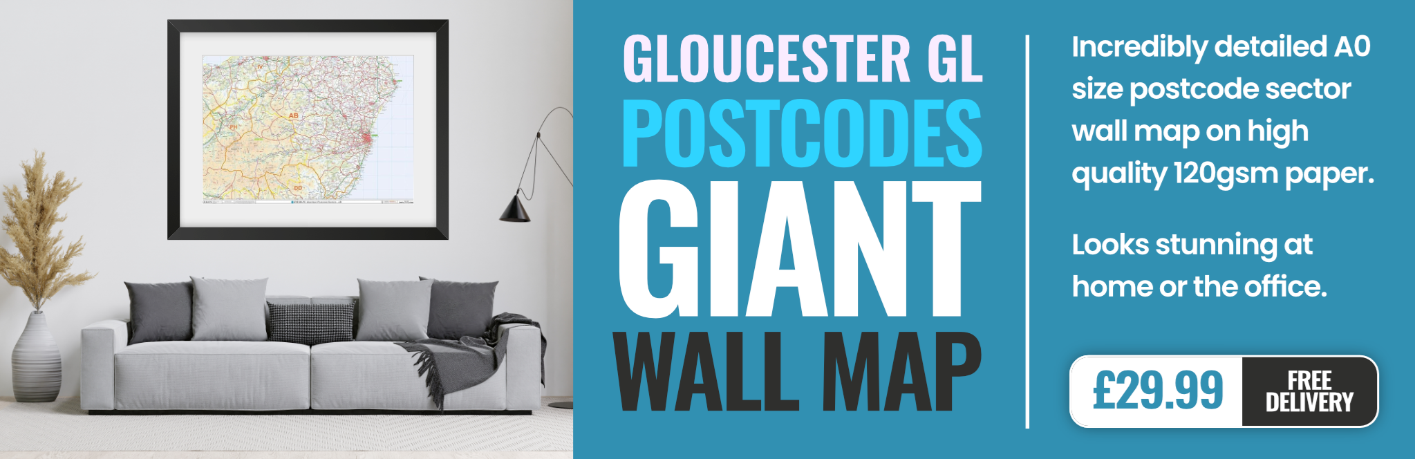
gloucester GL18 Postcodes
Spending a fortune on conveyancing?

Compare instant, low-cost online quotes from trusted conveyancing solicitors.
Backed by experts, our no-obligation service searches through the best conveyancing quotes on the market to save you time and money.
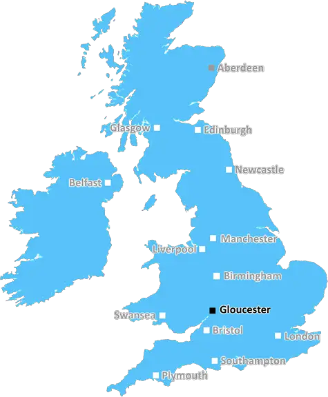
Gloucester (GL18)
The GL18 postcode area is located in the Gloucester postcode town region, within the county of Gloucestershire, and contains a total of 351 individual postcodes.
There are 67 electoral wards in the GL18 postcode area, including Badminton, Berkeley, Blakeney, Cheltenham, Chipping Campden, Cinderford, Cirencester, Coleford, Drybrook, Dursley, Dymock, Fairford, Gloucester, Lechlade, Longhope, Lydbrook, Lydney, Mitcheldean, Moreton-In-Marsh, Newent, Newnham, Ruardean, Stonehouse, Stroud, Tetbury, Tewkesbury, Westbury-On-Severn, Wotton-Under-Edge which come under the local authority of the Forest of Dean Council.
Combining the whole postcode region, 29% of people in GL18 are classed as having an AB social grade, (i.e. 'white-collar' middle-upper class), compared to 27% across the UK.
This does not mean that the people of GL18 are wealthier - or higher class - than average, but it can be an indication that the area may be prospering and desirable to live in.
The GL18 postcode is located in the Gloucester district of England. It covers a principal area of Ledbury, a small market town at the west of Herefordshire. Ledbury is surrounded by the rolling hills and valleys of the Cotswold and Malvern Hills AONB, making it an ideal area for outdoor activities.
The GL18 postcode has two main settlements, Ledbury and Eastnor. Ledbury is known for its Georgian architecture, traditional markets, festivals and diverse independent shops. It has a wide range of educational opportunities from nursery to secondary level. Popular rural attractions include Eastnor Castle, a grand 19th century castle set in parkland. Eastnor Deer Park, on the edge of the Malvern Hills, offers a mix of outdoor activities and year round events.
The area is served by the A417 and A438, and is only 18 miles from the M50 motorway. Ledbury has excellent rail and bus links, including direct access to Birmingham and Hereford. Fuel stations and major supermarkets are widely available.
GL18 has good health services, including a hospital, GP surgeries, dentists and veterinary clinics. There are a variety of leisure opportunities, including golf courses, cricket pitches and a leisure centre. A diverse range of pubs and restaurants are also within easy reach, along with several popular festivals and shows.
The area has many rural retreats and holiday homes, making it a popular vacation destination. There are a range of campsites, holiday parks and bed and breakfasts in the area. Ledbury also provides a range of modern business amenities.
TheGL18 postcode is an attractive rural district surrounded by stunning countryside and packed with amenities, attractions and activities.

Demographics
Gloucestershire

GL18 is located in the county of Gloucestershire, in England.
Gloucestershire has a total population of 900,800, making it the 23rd largest county in the UK.
Gloucestershire has a total area of 1216 square miles, and a population density of 285 people per square kilometre. For comparison, Greater London has a density of 5,618 people/km2.
| Outward Code | GL18 |
| Postal Town | Gloucester |
| MSOA Name | Forest of Dean 002 |
| LSOA Name | Forest of Dean 002B |
| County | Gloucestershire |
| Region | Gloucestershire |
| Country | England |
| Local Authority | Forest of Dean |
| Area Classification | Mainly Rural (rural including hub towns >=80%) |
GL18 Electoral Wards
The postal region of GL18, includes the local towns, villages, electoral wards and stations of:
Dig even deeper into the GL18 postcode by clicking on a postcode below:
Click on an outward postal code below for more information about the area. Each 'outward' postcode give you a comprehensive list of all postcodes within the outward code area (GL) and estimated address.
Click on an 'outward' code for more information. For example, the outward postcode page 'EC2M' will give you an alphabetical list covering all postcodes located in the region, from 'EC2M 1BB' through to 'EC2M 7YA'.
BD, gloucester
Monday, December 31, 2018
Area is OK in the day but changes at night lots of youngster hanging round the parks etc.
Add your view of GL18
People need your local expertise. If you live in GL18 or have first-hand knowledge of the neighbourhood, please consider sharing your views. It's completely anonymous - all we ask is for your initials.
Please tell us what you like about the GL18 postcode area, what you don't like, and what it's like to live or work here.
| LOCAL AMENITIES | |
| FAMILY FRIENDLY | |
| PARKING | |
| GREEN SPACES |
Local News Gloucestershire
Cheltenham Town 0-1 Carlisle United
Cheltenham Town's League One survival hopes take a huge hit after a defeat at home by Carlisle United.
BBC NewsGP surgery warns patients of limited appointments
Winchcombe Medical Centre is urging people to utilise pharmacies and the NHS website to help ease demand.
BBC NewsCommunities at risk of flash floods 'need a plan'
Environment Agency officers visit residents in the Forest of Dean to raise awareness of flooding risks.
BBC NewsGloucestershire captain Van Buuren signs new deal
Gloucestershire skipper Graeme van Buuren signs a contract extension with the club until the end of the 2026 season.
BBC NewsOspreys new home decision in May - Bradley
The region plans to move away from the 20,500-capacity Swansea.com Stadium to a smaller ground from next season.
BBC NewsCup quarter-final 'huge' for Gloucester - May
Gloucester winger Jonny May says their European Challenge Cup quarter-final against Ospreys is a "huge" chance for the team.
BBC NewsCup quarter-final 'huge' for Gloucester - May
Gloucester winger Jonny May says their European Challenge Cup quarter-final against Ospreys is a "huge" chance for the team.
BBC NewsBereaved mum seeks to help those with ADHD struggle
Jane Roberts says she wants to improve things for neurodiverse young people after losing her son.
BBC NewsFrom the Postcode Area blog

Deciphering Crime Rates - a Deep Dive Into UK Postcode Analysis
Ever wondered about the crime rate in your UK postcode? You're not alone. We've dug deep into the data, uncovering trends and patterns that'll make your head spin.

Death of the High Street?
The BBC reports that despite councils' attempts to kurb them, the UK's high streets have seen a huge growth in fast food outlets. Could this mark the death knell for the Great British high street, and what can we do about it to halt its decline?

Discrimination by Postcode
You really couldn't make it up, could you? Some of the country's most vulnerable people are missing out on their weekly £25 Cold Weather Payment, just because the system that's in operation is discriminating against them because payments are based on postcode, rather than geographic location.

The Redesign is Underway
Well, the current website was absolutely in dire need of a good redesign - from the ground up. So I set out to pull it all apart and get it up and running again to become the most comprehensive guide to every postcode in the UK. And it's been a long, tough job from start to finish - and quite possibly the biggest project I've ever undertaken.
SOCIAL GRADES
According to census records, 29% of people here have a social grade of AB (highest), compared to the national average of 27%.