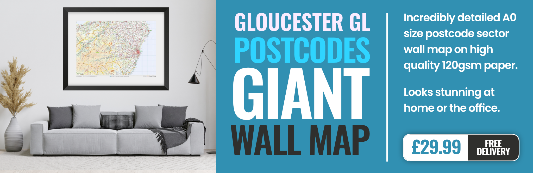
gloucester GL12 Postcodes
Spending a fortune on conveyancing?

Compare instant, low-cost online quotes from trusted conveyancing solicitors.
Backed by experts, our no-obligation service searches through the best conveyancing quotes on the market to save you time and money.
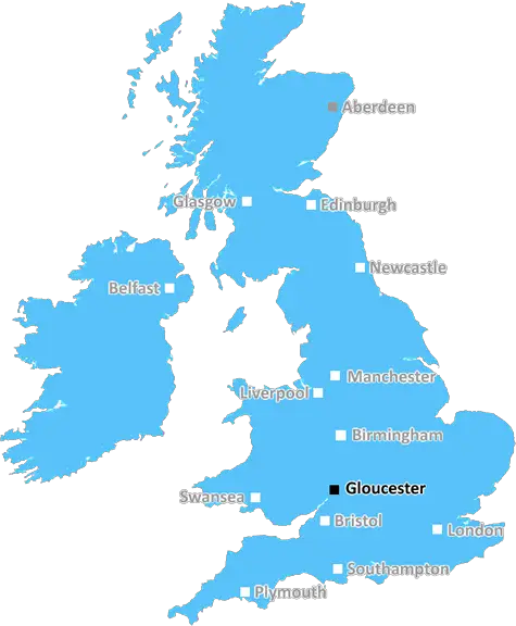
Gloucester (GL12)
The GL12 postcode area is located in the Gloucester postcode town region, within the county of Gloucestershire, and contains a total of 541 individual postcodes.
There are 67 electoral wards in the GL12 postcode area, including Badminton, Berkeley, Blakeney, Cheltenham, Chipping Campden, Cinderford, Cirencester, Coleford, Drybrook, Dursley, Dymock, Fairford, Gloucester, Lechlade, Longhope, Lydbrook, Lydney, Mitcheldean, Moreton-In-Marsh, Newent, Newnham, Ruardean, Stonehouse, Stroud, Tetbury, Tewkesbury, Westbury-On-Severn, Wotton-Under-Edge which come under the local authority of the Stroud Council.
Combining the whole postcode region, 35% of people in GL12 are classed as having an AB social grade, (i.e. 'white-collar' middle-upper class), compared to 27% across the UK.
This does not mean that the people of GL12 are wealthier - or higher class - than average, but it can be an indication that the area may be prospering and desirable to live in.
The Glasgow 12 Postcode (GL12) is located in a remote and rural area south of the city of Gloucester, in the Gloucestershire county of the United Kingdom. This postcode covers a vast area including post towns such as Wotton-under-Edge, Dursley, Theale and Tortworth. Geographic landmarks in this area include the Forest of Dean, as well as a high concentration of Cotswold Hills. The area is home to an array of independent businesses and facilities, including farm shops, music venues, and a vintage market.
GL12 is known for having some of the most stunning scenery in the county. Its landscape is characterised by rolling hills, woodlands, and vast expanses of open country. This makes it a popular destination for hikers and cyclists looking to experience the beauty of the countryside. Additionally, there are a number of historic buildings, quaint villages, and rural pubs in the area, creating a distinctive atmosphere that visitors can enjoy.
The area has several memorable landmarks, including the Acton Turville Church, which dates back to the 11th Century, and of course, The Tortworth Oak, the oldest tree in Gloucestershire. There are also many recreational activities available in the area, such as golfing, antique shopping, and walking trails. There are some tourist attractions including the Wotton-under-Edge Heritage Centre, the Clearwell Caves, and Prinknash Bird & Deer Park.
GL12 is a great place to live with good transport connections to major cities, including Bristol and Birmingham, via car and rail. The area is served by regular bus services and is close to junction 14 of the M5 motorway, making it easily accessible for commuters. The nearby Gloucester train station provides connections to London and Wales.
In terms of education, GL12 has a number of schools, colleges and universities, including two secondary schools: Stroud High School and Severn Vale School. Further education in the area is provided by South Gloucestershire and Stroud College.
All in all, the GL12 postcode is an idyllic location for those looking for a peaceful and beautiful rural area for living, holidaying or visiting.

Demographics
Gloucestershire

GL12 is located in the county of Gloucestershire, in England.
Gloucestershire has a total population of 900,800, making it the 23rd largest county in the UK.
Gloucestershire has a total area of 1216 square miles, and a population density of 285 people per square kilometre. For comparison, Greater London has a density of 5,618 people/km2.
| Outward Code | GL12 |
| Postal Town | Gloucester |
| MSOA Name | Stroud 015 |
| LSOA Name | Stroud 015E |
| County | Gloucestershire |
| Region | Gloucestershire |
| Country | England |
| Local Authority | Stroud |
| Area Classification | Urban with Significant Rural (rural including hub towns 26-49%) |
GL12 Electoral Wards
The postal region of GL12, includes the local towns, villages, electoral wards and stations of:
Dig even deeper into the GL12 postcode by clicking on a postcode below:
Click on an outward postal code below for more information about the area. Each 'outward' postcode give you a comprehensive list of all postcodes within the outward code area (GL) and estimated address.
Click on an 'outward' code for more information. For example, the outward postcode page 'EC2M' will give you an alphabetical list covering all postcodes located in the region, from 'EC2M 1BB' through to 'EC2M 7YA'.
Chris H
Monday, April 15, 2024
We don't have any views of GL12 right now. If you live in GL12 or have visited it, please help us to help others by telling others what you think of this neighbourhood.
Add your view of GL12
People need your local expertise. If you live in GL12 or have first-hand knowledge of the neighbourhood, please consider sharing your views. It's completely anonymous - all we ask is for your initials.
Please tell us what you like about the GL12 postcode area, what you don't like, and what it's like to live or work here.
| LOCAL AMENITIES | |
| FAMILY FRIENDLY | |
| PARKING | |
| GREEN SPACES |
Local News Gloucestershire
Ospreys aim for historic first European semi-final
Wales lock Adam Beard is hoping to create history by being part of the first Ospreys side to reach a European semi-final.
BBC NewsRound Britain boat crew battle broken bridge
The crew of a ship is facing a race against time to be ready for the start of an around Britain tour.
BBC NewsGloucestershire worst in the West for burglaries
The county has seen a spate of cars being stolen in rural areas by organised criminals.
BBC NewsCancer charity making 'huge difference'
Charlie's celebrated 10 years of providing holistic treatments to cancer patients last month.
BBC NewsMansfield Town 1-0 Forest Green Rovers
Mansfield beat bottom side Forest Green to climb back into the top three in League Two.
BBC NewsPopular climbing centre to move to new site
The director of the climbing centre says the new site will "tick all the boxes".
BBC NewsMum's life saved by passing postman giving CPR
Ann Carter says it is "miraculous" that she is still alive after going into cardiac arrest at home.
BBC NewsLibrary with a difference helping people save money
The scheme allows people to borrow a range of electrical items for free, rather than buying them.
BBC NewsFrom the Postcode Area blog

Deciphering Crime Rates - a Deep Dive Into UK Postcode Analysis
Ever wondered about the crime rate in your UK postcode? You're not alone. We've dug deep into the data, uncovering trends and patterns that'll make your head spin.

Death of the High Street?
The BBC reports that despite councils' attempts to kurb them, the UK's high streets have seen a huge growth in fast food outlets. Could this mark the death knell for the Great British high street, and what can we do about it to halt its decline?

Discrimination by Postcode
You really couldn't make it up, could you? Some of the country's most vulnerable people are missing out on their weekly £25 Cold Weather Payment, just because the system that's in operation is discriminating against them because payments are based on postcode, rather than geographic location.

The Redesign is Underway
Well, the current website was absolutely in dire need of a good redesign - from the ground up. So I set out to pull it all apart and get it up and running again to become the most comprehensive guide to every postcode in the UK. And it's been a long, tough job from start to finish - and quite possibly the biggest project I've ever undertaken.
SOCIAL GRADES
According to census records, 35% of people here have a social grade of AB (highest), compared to the national average of 27%.