glasgow G66 Postcodes
Spending a fortune on conveyancing?

Compare instant, low-cost online quotes from trusted conveyancing solicitors.
Backed by experts, our no-obligation service searches through the best conveyancing quotes on the market to save you time and money.
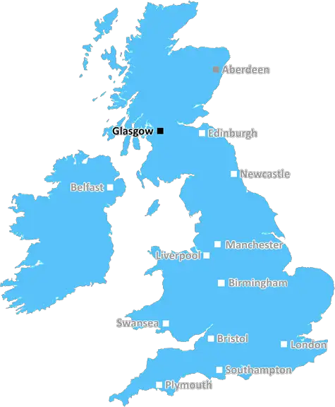
Glasgow (G66)
The G66 postcode area is located in the Glasgow postcode town region, within the county of Dunbartonshire, and contains a total of 1490 individual postcodes.
There are 29 electoral wards in the G66 postcode area, including Alexandria, Arrochar, Clydebank, Dumbarton, Glasgow, Helensburgh which come under the local authority of the East Dunbartonshire Council.
Combining the whole postcode region, 0% of people in G66 are classed as having an AB social grade, (i.e. 'white-collar' middle-upper class), compared to 27% across the UK.
This does not mean that the people of G66 are poorer than other areas, but it may give an indication that there are areas of deprivation.
The G66 postcode covers the towns of Kirkintilloch, Lenzie, Lennoxtown and Bishopbriggs within the East Dunbartonshire district of Glasgow, Scotland. It is bordered by the G64 postcode to the east, the G63 postcode to the south, and the G67 postcode to the north.
Kirkintilloch is a former burgh located on the Forth and Clyde Canal and the Kilsyth Hills, and is known as a 'heritage city'. It dates from at least the 12th century and has many historic buildings, such as the Barony church, the 'Mermaid Bridge' and a large central clock tower. Kirkintilloch also has several parks, green spaces and sport facilities, including the 25-acre Lenzie Gardens.
Lenzie is on the banks of the River Kelvin, and lies on a slope of the Campsie Fells. It is a busy commuter town with a village centre, a Roman Catholic church and a railway station. There are plenty of shops, eateries, pubs and cafes, as well as a library and other community facilities.
Lennoxtown lies between Kirkintilloch and Campsie Fells offering plenty of open space. It's home to several industrial parks, a golf course, a children's play centre and a library. It was home to James 'Paraffin' Young, who discovered the process of distilling oil shale which became famous here at the end of the 19th century.
Bishopbriggs is a town situated on the surface and underground Glasgow canals and is home to a large park, a popular leisure centre, bowling and cycling facilities and many retail outlets. It also features a large historic church, the St Bride's Church, and is also home to a range of restaurants and cafes.
The area covered by the G66 postcode provides a pleasant mix of urban, rural and suburban features. It is conveniently located only 7 miles from Glasgow City Centre, and its public transport links are excellent in the form of bus, train and local Metro services. The G66 postcode has a strong sense of community and is popular amongst families and professionals alike.

Demographics
Dunbartonshire

G66 is located in the county of Dunbartonshire, in Scotland.
Dunbartonshire has a total population of 0, making it the largest county in the UK.
Dunbartonshire has a total area of square miles, and a population density of people per square kilometre. For comparison, Greater London has a density of 5,618 people/km2.
| Outward Code | G66 |
| Postal Town | Glasgow |
| MSOA Name | Kirkintilloch West |
| LSOA Name | |
| County | Dunbartonshire |
| Region | Dunbartonshire |
| Country | Scotland |
| Local Authority | East Dunbartonshire |
| Area Classification | Unclassified |
G66 Electoral Wards
The postal region of G66, includes the local towns, villages, electoral wards and stations of:
Dig even deeper into the G66 postcode by clicking on a postcode below:
Click on an outward postal code below for more information about the area. Each 'outward' postcode give you a comprehensive list of all postcodes within the outward code area (G) and estimated address.
Click on an 'outward' code for more information. For example, the outward postcode page 'EC2M' will give you an alphabetical list covering all postcodes located in the region, from 'EC2M 1BB' through to 'EC2M 7YA'.
Chris H
Tuesday, April 9, 2024
We don't have any views of G66 right now. If you live in G66 or have visited it, please help us to help others by telling others what you think of this neighbourhood.
Add your view of G66
People need your local expertise. If you live in G66 or have first-hand knowledge of the neighbourhood, please consider sharing your views. It's completely anonymous - all we ask is for your initials.
Please tell us what you like about the G66 postcode area, what you don't like, and what it's like to live or work here.
| LOCAL AMENITIES | |
| FAMILY FRIENDLY | |
| PARKING | |
| GREEN SPACES |
From the Postcode Area blog

Deciphering Crime Rates - a Deep Dive Into UK Postcode Analysis
Ever wondered about the crime rate in your UK postcode? You're not alone. We've dug deep into the data, uncovering trends and patterns that'll make your head spin.

Death of the High Street?
The BBC reports that despite councils' attempts to kurb them, the UK's high streets have seen a huge growth in fast food outlets. Could this mark the death knell for the Great British high street, and what can we do about it to halt its decline?

Discrimination by Postcode
You really couldn't make it up, could you? Some of the country's most vulnerable people are missing out on their weekly £25 Cold Weather Payment, just because the system that's in operation is discriminating against them because payments are based on postcode, rather than geographic location.

The Redesign is Underway
Well, the current website was absolutely in dire need of a good redesign - from the ground up. So I set out to pull it all apart and get it up and running again to become the most comprehensive guide to every postcode in the UK. And it's been a long, tough job from start to finish - and quite possibly the biggest project I've ever undertaken.
SOCIAL GRADES
According to census records, 0% of people here have a social grade of AB (highest), compared to the national average of 27%.