glasgow G46 Postcodes
Spending a fortune on conveyancing?

Compare instant, low-cost online quotes from trusted conveyancing solicitors.
Backed by experts, our no-obligation service searches through the best conveyancing quotes on the market to save you time and money.
Glasgow (G46)
The G46 postcode area is located in the Glasgow postcode town region, within the county of Renfrewshire, and contains a total of 920 individual postcodes.
There are 10 electoral wards in the G46 postcode area, including Alexandria, Arrochar, Clydebank, Dumbarton, Glasgow, Helensburgh which come under the local authority of the East Renfrewshire Council.
Combining the whole postcode region, 0% of people in G46 are classed as having an AB social grade, (i.e. 'white-collar' middle-upper class), compared to 27% across the UK.
This does not mean that the people of G46 are poorer than other areas, but it may give an indication that there are areas of deprivation.
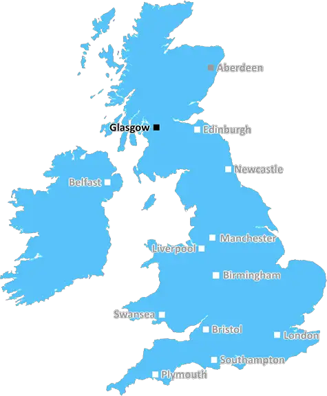
The G46 postcode is part of the Glasgow district in Scotland, and is comprised of the small towns and villages of Newton Mearns, Giffnock, Whitecraigs, Thorntonhall, Busby and Waterfoot.
Newton Mearns is located around 5 miles to the south of Glasgow city centre and is a popular, well-off residential suburb, known for its good transport links and desirable quality of life. Home to numerous parks, local nature reserves and golf courses, it is also the location of the popular Loch Centre shopping complex.
Giffnock is another very desirable area, with properties ranging from more modest terraces to large, modern detached villas. The village itself is home to a wide range of amenities, including cafes, restaurants, shops, pubs and sporting facilities. The popular Greenbank Garden is situated close to the village centre.
Whitecraigs lies to the northeast of Newton Mearns, and has a slightly smaller selection of amenities than its counterparts. Nonetheless, the area is popular with affluent families who are attracted to its proximity to the countryside and nearby beaches.
Thorntonhall is a small and peaceful village which is known for its many horse-riding stables, polo clubs and arenas. The area is home to the massive Buchanan Castle estate, the historic Thornton Hall, the excellent riding and polo club, the Clydesdale Horse Park and the South Muirhead Farm, as well as the Cormorant and Ravenswood Wineries.
Busby is a small village which is renowned for its beautiful rural walks. It is located approximately six miles to the southeast of Glasgow city centre and is home to the world-famous Busby Coven, a historic Covenanter burial grounds.
Waterfoot, like many of postcode's villages, is a peaceful, rural area with some attractive architecture and a beautiful stretch of the White Cart River. It is home to some of Scotland's most beautiful, quiet valleys as well as a few lovely old churches.
Thedesirable G46 postcode offers a mix of rural and suburban locations, with properties ranging from modest homes to large, luxurious villas. It provides excellent transport links, good amenities, parks and nature reserves and many activities to engage in, making it a desirable location for families to settle down in the Glasgow area.

Demographics
Renfrewshire

G46 is located in the county of Renfrewshire, in Scotland.
Renfrewshire has a total population of 0, making it the largest county in the UK.
Renfrewshire has a total area of square miles, and a population density of people per square kilometre. For comparison, Greater London has a density of 5,618 people/km2.
| Outward Code | G46 |
| Postal Town | Glasgow |
| MSOA Name | North Giffnock and North Thornliebank |
| LSOA Name | |
| County | Renfrewshire |
| Region | Renfrewshire |
| Country | Scotland |
| Local Authority | East Renfrewshire |
| Area Classification | Unclassified |
G46 Electoral Wards
The postal region of G46, includes the local towns, villages, electoral wards and stations of:
Dig even deeper into the G46 postcode by clicking on a postcode below:
Click on an outward postal code below for more information about the area. Each 'outward' postcode give you a comprehensive list of all postcodes within the outward code area (G) and estimated address.
Click on an 'outward' code for more information. For example, the outward postcode page 'EC2M' will give you an alphabetical list covering all postcodes located in the region, from 'EC2M 1BB' through to 'EC2M 7YA'.
Chris H
Saturday, April 6, 2024
We don't have any views of G46 right now. If you live in G46 or have visited it, please help us to help others by telling others what you think of this neighbourhood.
Add your view of G46
People need your local expertise. If you live in G46 or have first-hand knowledge of the neighbourhood, please consider sharing your views. It's completely anonymous - all we ask is for your initials.
Please tell us what you like about the G46 postcode area, what you don't like, and what it's like to live or work here.
| LOCAL AMENITIES | |
| FAMILY FRIENDLY | |
| PARKING | |
| GREEN SPACES |
From the Postcode Area blog

Deciphering Crime Rates - a Deep Dive Into UK Postcode Analysis
Ever wondered about the crime rate in your UK postcode? You're not alone. We've dug deep into the data, uncovering trends and patterns that'll make your head spin.

Death of the High Street?
The BBC reports that despite councils' attempts to kurb them, the UK's high streets have seen a huge growth in fast food outlets. Could this mark the death knell for the Great British high street, and what can we do about it to halt its decline?

Discrimination by Postcode
You really couldn't make it up, could you? Some of the country's most vulnerable people are missing out on their weekly £25 Cold Weather Payment, just because the system that's in operation is discriminating against them because payments are based on postcode, rather than geographic location.

The Redesign is Underway
Well, the current website was absolutely in dire need of a good redesign - from the ground up. So I set out to pull it all apart and get it up and running again to become the most comprehensive guide to every postcode in the UK. And it's been a long, tough job from start to finish - and quite possibly the biggest project I've ever undertaken.
SOCIAL GRADES
According to census records, 0% of people here have a social grade of AB (highest), compared to the national average of 27%.