falkirk FK18 Postcodes
Spending a fortune on conveyancing?

Compare instant, low-cost online quotes from trusted conveyancing solicitors.
Backed by experts, our no-obligation service searches through the best conveyancing quotes on the market to save you time and money.
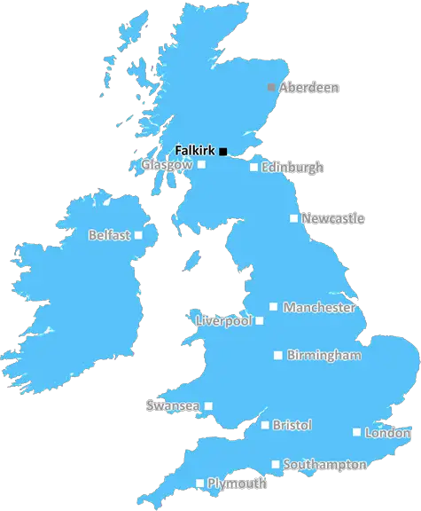
Falkirk (FK18)
The FK18 postcode area is located in the Falkirk postcode town region, within the county of Stirlingshire, and contains a total of 9 individual postcodes.
There are 2 electoral wards in the FK18 postcode area, including Alloa, Alva, Bonnybridge, Callander, Clackmannan, Crianlarich, Denny, Dollar, Doune, Dunblane, Falkirk, Grangemouth, Killin, Larbert, Lochearnhead, Menstrie, Stirling, Tillicoultry which come under the local authority of the Stirling Council.
Combining the whole postcode region, 0% of people in FK18 are classed as having an AB social grade, (i.e. 'white-collar' middle-upper class), compared to 27% across the UK.
This does not mean that the people of FK18 are poorer than other areas, but it may give an indication that there are areas of deprivation.
The FK18 postcode is in the Falkirk district in Scotland. It covers a large part of the Central Lowlands region of the country. The postcode district extends from Floor Fauld in the north to Bo'ness in the south and includes major towns such as Grangemouth and Bo'ness. The area covers a variety of localities, ranging from urban to rural, and is served by the neighbouring FK17 postcode.
FK18 is primarily a suburbanised area, consisting of the towns of Grangemouth, Bo'ness, and their surrounding villages. The area is mainly residential and is served by a mixture of traditional housing, such as terraced homes, and modern flats. The area is home to many commuters; its close proximity to Edinburgh, Glasgow, and Stirling means that it is easily accessible for those who need to travel elsewhere for work.
The area is well-connected in terms of transport links. The Edinburgh to Glasgow railway, the M9 motorway, and the Forth and Clyde Canal all pass through the area. The Forth Road Bridge is also easily accessible from the area. The area is served by two primary schools, Grange Primary and Springfield Primary, as well as Boroughmuir High School, an Academy-style school catering to 11- to 18-year-olds.
FK18 is also home to recreational and cultural amenities, including local parks, historical sites, golf courses, and two leisure centres. There are also plenty of pubs and restaurants in the area, as well as retail centres such as the McArthur Glen Design Outlet. In addition, the area is a popular tourist destination, thanks to its proximity to the beautiful area of Loch Lomond and the Trossachs National Park.
FK18 is a vibrant and diverse area. It offers a variety of housing and leisure choices, as well as easy access to the cities of Edinburgh, Glasgow, and Stirling. It is an ideal area for those seeking a quieter suburban lifestyle, while still benefitting from the amenities of the larger cities nearby.

Demographics
Stirlingshire

FK18 is located in the county of Stirlingshire, in Scotland.
Stirlingshire has a total population of 0, making it the largest county in the UK.
Stirlingshire has a total area of square miles, and a population density of people per square kilometre. For comparison, Greater London has a density of 5,618 people/km2.
| Outward Code | FK18 |
| Postal Town | Falkirk |
| MSOA Name | Highland |
| LSOA Name | |
| County | Stirlingshire |
| Region | Stirlingshire |
| Country | Scotland |
| Local Authority | Stirling |
| Area Classification | Unclassified |
FK18 Electoral Wards
The postal region of FK18, includes the local towns, villages, electoral wards and stations of:
Dig even deeper into the FK18 postcode by clicking on a postcode below:
Click on an outward postal code below for more information about the area. Each 'outward' postcode give you a comprehensive list of all postcodes within the outward code area (FK) and estimated address.
Click on an 'outward' code for more information. For example, the outward postcode page 'EC2M' will give you an alphabetical list covering all postcodes located in the region, from 'EC2M 1BB' through to 'EC2M 7YA'.
Chris H
Wednesday, April 10, 2024
We don't have any views of FK18 right now. If you live in FK18 or have visited it, please help us to help others by telling others what you think of this neighbourhood.
Add your view of FK18
People need your local expertise. If you live in FK18 or have first-hand knowledge of the neighbourhood, please consider sharing your views. It's completely anonymous - all we ask is for your initials.
Please tell us what you like about the FK18 postcode area, what you don't like, and what it's like to live or work here.
| LOCAL AMENITIES | |
| FAMILY FRIENDLY | |
| PARKING | |
| GREEN SPACES |
From the Postcode Area blog

Deciphering Crime Rates - a Deep Dive Into UK Postcode Analysis
Ever wondered about the crime rate in your UK postcode? You're not alone. We've dug deep into the data, uncovering trends and patterns that'll make your head spin.

Death of the High Street?
The BBC reports that despite councils' attempts to kurb them, the UK's high streets have seen a huge growth in fast food outlets. Could this mark the death knell for the Great British high street, and what can we do about it to halt its decline?

Discrimination by Postcode
You really couldn't make it up, could you? Some of the country's most vulnerable people are missing out on their weekly £25 Cold Weather Payment, just because the system that's in operation is discriminating against them because payments are based on postcode, rather than geographic location.

The Redesign is Underway
Well, the current website was absolutely in dire need of a good redesign - from the ground up. So I set out to pull it all apart and get it up and running again to become the most comprehensive guide to every postcode in the UK. And it's been a long, tough job from start to finish - and quite possibly the biggest project I've ever undertaken.
SOCIAL GRADES
According to census records, 0% of people here have a social grade of AB (highest), compared to the national average of 27%.