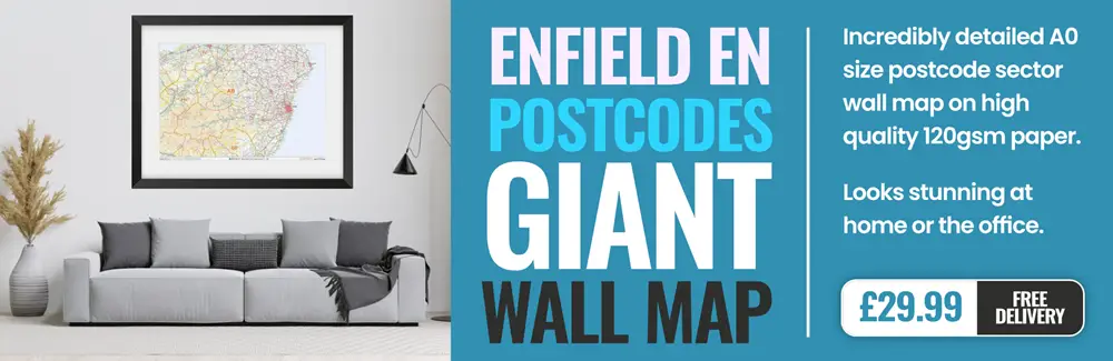
enfield EN2 Postcodes
Spending a fortune on conveyancing?

Compare instant, low-cost online quotes from trusted conveyancing solicitors.
Backed by experts, our no-obligation service searches through the best conveyancing quotes on the market to save you time and money.
Enfield (EN2)
The EN2 postcode area is located in the Enfield postcode town region, within the county of Greater London, and contains a total of 1173 individual postcodes.
There are 5 electoral wards in the EN2 postcode area, including Barnet, Broxbourne, Enfield, Hoddesdon, Potters Bar, Waltham Abbey, Waltham Cross which come under the local authority of the Enfield Council.
Combining the whole postcode region, 30% of people in EN2 are classed as having an AB social grade, (i.e. 'white-collar' middle-upper class), compared to 27% across the UK.
This does not mean that the people of EN2 are wealthier - or higher class - than average, but it can be an indication that the area may be prospering and desirable to live in.
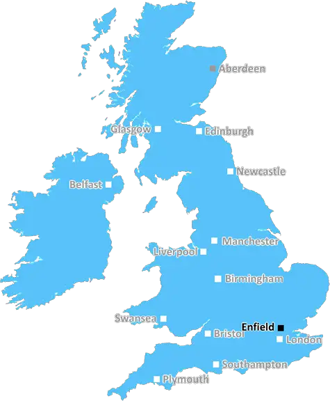
The EN2 postcode is located in the Enfield district of London, England. It covers the northern suburbs of Enfield, including Enfield Town, Enfield Wash, Oakwood and Enfield Chase. It is bordered by the N13, N14 and N21 postcodes, and forms part of the London Borough of Enfield.
The EN2 postcode has a population of almost 50,000 people, with over a third of these being of ethnic minority backgrounds � one of the largest proportions in all of North London. The area includes over 8,000 households, with the majority of these being owner occupied. The median property price is �375,000, 1.4 times higher than the median for all of London � making EN2 an area of considerable affluence.
A wide variety of amenities are in the local vicinity, including supermarkets, pharmacies, post offices, banks, and professional services such as accountants and solicitors. In addition to this, there are ample leisure activities, including the picturesque Galliard's Stone Park, various outdoor recreation centers, and Churchill Theatre � a major live entertainment venue.
Enfield residents also benefit from excellent transport links, with numerous bus routes and London Overground stations, including Oakwood, Bush Hill Park, Southbury, and Enfield Town. It is also in close proximity to the M25 and M1 motorways.
EN2 postcode has two parliamentary constituencies; Enfield North, and Enfield Southgate. The current Member of Parliament for Enfield North is Conservative Feryal Clark MP, while the current Member of Parliament for Enfield Southgate is Labour's Bambos Charalambous MP.
The EN2 postcode is an attractive and vibrant area of London, making it an ideal place to live, work or visit. With its great transport connections, numerous local amenities and excellent connections to central London, it offers a wonderful quality of life for those living and working in the area.

Demographics
Greater London

EN2 is located in the county of Greater London, in England.
Greater London has a total population of 8,778,500, making it the 1st largest county in the UK.
Greater London has a total area of 606 square miles, and a population density of 5594 people per square kilometre. For comparison, Greater London has a density of 5,618 people/km2.
| Outward Code | EN2 |
| Postal Town | Enfield |
| MSOA Name | Enfield 008 |
| LSOA Name | Enfield 008D |
| County | Greater London |
| Region | Greater London |
| Country | England |
| Local Authority | Enfield |
| Area Classification | Urban with Major Conurbation |
EN2 Electoral Wards
The postal region of EN2, includes the local towns, villages, electoral wards and stations of:
Dig even deeper into the EN2 postcode by clicking on a postcode below:
Click on an outward postal code below for more information about the area. Each 'outward' postcode give you a comprehensive list of all postcodes within the outward code area (EN) and estimated address.
Click on an 'outward' code for more information. For example, the outward postcode page 'EC2M' will give you an alphabetical list covering all postcodes located in the region, from 'EC2M 1BB' through to 'EC2M 7YA'.
Chris H
Sunday, April 7, 2024
We don't have any views of EN2 right now. If you live in EN2 or have visited it, please help us to help others by telling others what you think of this neighbourhood.
Add your view of EN2
People need your local expertise. If you live in EN2 or have first-hand knowledge of the neighbourhood, please consider sharing your views. It's completely anonymous - all we ask is for your initials.
Please tell us what you like about the EN2 postcode area, what you don't like, and what it's like to live or work here.
| LOCAL AMENITIES | |
| FAMILY FRIENDLY | |
| PARKING | |
| GREEN SPACES |
From the Postcode Area blog

Deciphering Crime Rates - a Deep Dive Into UK Postcode Analysis
Ever wondered about the crime rate in your UK postcode? You're not alone. We've dug deep into the data, uncovering trends and patterns that'll make your head spin.

Death of the High Street?
The BBC reports that despite councils' attempts to kurb them, the UK's high streets have seen a huge growth in fast food outlets. Could this mark the death knell for the Great British high street, and what can we do about it to halt its decline?

Discrimination by Postcode
You really couldn't make it up, could you? Some of the country's most vulnerable people are missing out on their weekly £25 Cold Weather Payment, just because the system that's in operation is discriminating against them because payments are based on postcode, rather than geographic location.

The Redesign is Underway
Well, the current website was absolutely in dire need of a good redesign - from the ground up. So I set out to pull it all apart and get it up and running again to become the most comprehensive guide to every postcode in the UK. And it's been a long, tough job from start to finish - and quite possibly the biggest project I've ever undertaken.
SOCIAL GRADES
According to census records, 30% of people here have a social grade of AB (highest), compared to the national average of 27%.