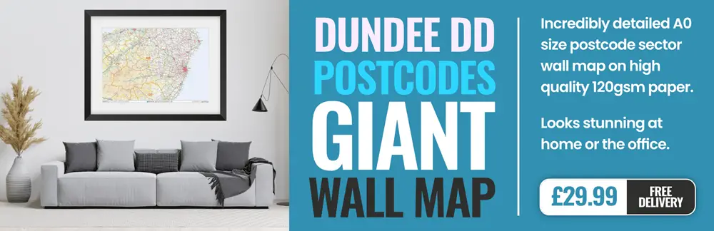
dundee DD9 Postcodes
Spending a fortune on conveyancing?

Compare instant, low-cost online quotes from trusted conveyancing solicitors.
Backed by experts, our no-obligation service searches through the best conveyancing quotes on the market to save you time and money.
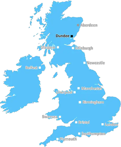
Dundee (DD9)
The DD9 postcode area is located in the Dundee postcode town region, within the county of Angus, and contains a total of 483 individual postcodes.
There are 55 electoral wards in the DD9 postcode area, including Arbroath, Brechin, Carnoustie, Dundee, Forfar, Kirriemuir, Montrose, Newport-On-Tay, Tayport which come under the local authority of the Angus Council.
Combining the whole postcode region, 0% of people in DD9 are classed as having an AB social grade, (i.e. 'white-collar' middle-upper class), compared to 27% across the UK.
This does not mean that the people of DD9 are poorer than other areas, but it may give an indication that there are areas of deprivation.
The DD9 postcode is a postcode district situated in the Tayside area of Scotland. It covers parts of Forfar, Kirriemuir, Lethnot and the surrounding countryside.
Covered in the district are several villages in Angus, including Auchterhouse, Ballinshoe, Glenshee, Inverarity, Kirriemuir, Lethent, Netherlunie, Milton of Strathardle, and Airlie. Also included are a number of towns, such as Brechin, Forfar, Oathlaw and Newtyle.
The postcode area for DD9 is divided into two areas, the smaller small DD9 0 and the larger DD9 7. DD9 0 encompasses the main towns and villages within the district, including the likes of Kirriemuir, Netherlunie, Inverarity, Auchterhouse and Ballinshoe. DD9 7 comprises the surrounding rural and urban areas on the edge of the district, such as Brechin, Airle, Forfar, Milton of Strathardle and Oathlaw.
The area of DD9 is home to a variety of attractions and amenities. In Kirriemuir, the birthplace of J.M. Barrie, the author of Peter Pan, there is a museum dedicated to his work, and many other attractions, such as the B-listed Kirriemuir War Memorial, and the Kirkhill Cliffs. In Brechin, the Angus Heritage Centre and the Round Tower are both popular attractions. Forfar Loch and Golf Course, Harley Street Garden and The Meadows in Forfar, all provide local amenities, as does Newtyle Station.
Many visitors flock to the area due to its many walks and hiking trails in the Angus Glens, which take in Aldbar Community Woodland, Conons Nest Nature Reserve and Etherhope Hills. With many outdoor pursuits on offer, such as sailing, kayaking, horse riding, fishing, skiing, snowboarding and ice skating, you'll be spoilt for choice.
The DD9 postcode district has a variety of shops, pubs, restaurants, caf�s, supermarkets and top-rated schools in surrounding areas. It is also well connected with nearby towns, cities and mainline stations, making it an ideal location for commuters looking for easy access to Edinburgh and Glasgow.

Demographics
Angus

DD9 is located in the county of Angus, in Scotland.
Angus has a total population of 0, making it the largest county in the UK.
Angus has a total area of square miles, and a population density of people per square kilometre. For comparison, Greater London has a density of 5,618 people/km2.
| Outward Code | DD9 |
| Postal Town | Dundee |
| MSOA Name | Brechin West |
| LSOA Name | |
| County | Angus |
| Region | Angus |
| Country | Scotland |
| Local Authority | Angus |
| Area Classification | Unclassified |
DD9 Electoral Wards
The postal region of DD9, includes the local towns, villages, electoral wards and stations of:
Dig even deeper into the DD9 postcode by clicking on a postcode below:
Click on an outward postal code below for more information about the area. Each 'outward' postcode give you a comprehensive list of all postcodes within the outward code area (DD) and estimated address.
Click on an 'outward' code for more information. For example, the outward postcode page 'EC2M' will give you an alphabetical list covering all postcodes located in the region, from 'EC2M 1BB' through to 'EC2M 7YA'.
Chris H
Thursday, April 11, 2024
We don't have any views of DD9 right now. If you live in DD9 or have visited it, please help us to help others by telling others what you think of this neighbourhood.
Add your view of DD9
People need your local expertise. If you live in DD9 or have first-hand knowledge of the neighbourhood, please consider sharing your views. It's completely anonymous - all we ask is for your initials.
Please tell us what you like about the DD9 postcode area, what you don't like, and what it's like to live or work here.
| LOCAL AMENITIES | |
| FAMILY FRIENDLY | |
| PARKING | |
| GREEN SPACES |
From the Postcode Area blog

Deciphering Crime Rates - a Deep Dive Into UK Postcode Analysis
Ever wondered about the crime rate in your UK postcode? You're not alone. We've dug deep into the data, uncovering trends and patterns that'll make your head spin.

Death of the High Street?
The BBC reports that despite councils' attempts to kurb them, the UK's high streets have seen a huge growth in fast food outlets. Could this mark the death knell for the Great British high street, and what can we do about it to halt its decline?

Discrimination by Postcode
You really couldn't make it up, could you? Some of the country's most vulnerable people are missing out on their weekly £25 Cold Weather Payment, just because the system that's in operation is discriminating against them because payments are based on postcode, rather than geographic location.

The Redesign is Underway
Well, the current website was absolutely in dire need of a good redesign - from the ground up. So I set out to pull it all apart and get it up and running again to become the most comprehensive guide to every postcode in the UK. And it's been a long, tough job from start to finish - and quite possibly the biggest project I've ever undertaken.
SOCIAL GRADES
According to census records, 0% of people here have a social grade of AB (highest), compared to the national average of 27%.