dartford DA15 Postcodes
Spending a fortune on conveyancing?

Compare instant, low-cost online quotes from trusted conveyancing solicitors.
Backed by experts, our no-obligation service searches through the best conveyancing quotes on the market to save you time and money.
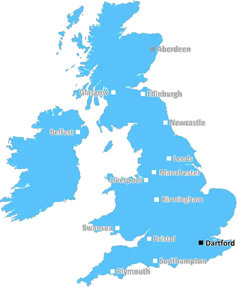
Dartford (DA15)
The DA15 postcode area is located in the Dartford postcode town region, within the county of Greater London, and contains a total of 811 individual postcodes.
There are 3 electoral wards in the DA15 postcode area, including Belvedere, Bexley, Bexleyheath, Dartford, Erith, Gravesend, Greenhithe, Longfield, Sidcup, Swanscombe, Welling which come under the local authority of the Bexley Council.
Combining the whole postcode region, 22% of people in DA15 are classed as having an AB social grade, (i.e. 'white-collar' middle-upper class), compared to 27% across the UK.
This does not mean that the people of DA15 are poorer than other areas, but it may give an indication that there are areas of deprivation.
DA15 is a postcode in the South East London borough of Bexley. It covers the area of Sidcup, and part of Welling.
Sidcup is an area with a long history, having been occupied since at least the Iron Age. In the 19th century, it was known for its cider and orchards. It was also known as a centre of fine furniture making. Today, the area boasts a vibrant arts and culture scene, with a range of restaurants, cafes, bars, and galleries. It is also home to several green spaces and parks, as well as public leisure facilities in the form of a leisure centre and swimming pools.
Welling is the larger of the two primary neighbourhoods in the DA15 region, and is one of London's most ethnically diverse areas. Here, you'll find a huge variety of cultures and nationalities. Welling is also home to several notable landmarks, such as the ruins of an old fort built in the 14th century, the Danson Park Statue, and the Welling War Memorial. Welling has an excellent shopping district, with a range of independent stores, as well as retail parks, supermarkets, and other stores.
The DA15 postcode covers two distinct but interconnected areas with much to offer. It is well-connected by public transport, with Sidcup and Welling being served by rail and bus services, as well as the A20. There are plenty of schools and educational facilities in the area, including Queen Mary's Grammar School and St Columba's Catholic Boys' School. Moreover, there are a range of thriving businesses in DA15, covering industries from finance to health care.

Demographics

Greater London

DA15 is located in the county of Greater London, in England.
Greater London has a total population of 8,778,500, making it the 1st largest county in the UK.
Greater London has a total area of 606 square miles, and a population density of 5594 people per square kilometre. For comparison, Greater London has a density of 5,618 people/km2.
| Outward Code | DA15 |
| Postal Town | Dartford |
| MSOA Name | Bexley 026 |
| LSOA Name | Bexley 026E |
| County | Greater London |
| Region | Greater London |
| Country | England |
| Local Authority | Bexley |
| Area Classification | Urban with Major Conurbation |
DA15 Electoral Wards
The postal region of DA15, includes the local towns, villages, electoral wards and stations of:
Dig even deeper into the DA15 postcode by clicking on a postcode below:
Click on an outward postal code below for more information about the area. Each 'outward' postcode give you a comprehensive list of all postcodes within the outward code area (DA) and estimated address.
Click on an 'outward' code for more information. For example, the outward postcode page 'EC2M' will give you an alphabetical list covering all postcodes located in the region, from 'EC2M 1BB' through to 'EC2M 7YA'.
Chris H
Saturday, April 6, 2024
We don't have any views of DA15 right now. If you live in DA15 or have visited it, please help us to help others by telling others what you think of this neighbourhood.
Add your view of DA15
People need your local expertise. If you live in DA15 or have first-hand knowledge of the neighbourhood, please consider sharing your views. It's completely anonymous - all we ask is for your initials.
Please tell us what you like about the DA15 postcode area, what you don't like, and what it's like to live or work here.
| LOCAL AMENITIES | |
| FAMILY FRIENDLY | |
| PARKING | |
| GREEN SPACES |
Local News Kent
Savills bolsters Chelmsford office with return of senior development director
Kibblewhite originally joined the agency in 1990 and spent 16 years working there.
Property WeekMirabaud buys Virgin Atlantic HQ in UK debut
Swiss investor snaps up grade-A office scheme let to Virgin Atlantic until 2032.
Property WeekMixed-use London freehold to lead Allsop's March residential auction
Thefreeholdbuilding in Hampstead is guided at 2.5m-plus.
Property WeekCrawley's The Create Building lands British Airways Holidays as tenant
The company has signed a lease for the top floor of the nine-storey tower.
Property WeekCare home pulls out of Kent asylum-seeker deal
The Sheppey property will no longer open as a temporary home for asylum-seeking children.
BBC NewsHospital site with permission for 19 homes on market for 2.4m
Land surrounding a former hospital, which has planning permission for 19 townhouses, has hit the market at £2.4 million.
Kent OnlineDad who thought girlfriend was cheating swapped her medication for laxatives
A dad-of-five who suspected his long-term girlfriend was cheating on him swapped her medication for laxatives.
Kent OnlineCharlton Athletic 0-0 Stevenage
Stevenage see their League One play-off hopes dented as a 0-0 draw at Charlton extends their winless run to seven matches.
BBC NewsFrom the Postcode Area blog

Deciphering Crime Rates - a Deep Dive Into UK Postcode Analysis
Ever wondered about the crime rate in your UK postcode? You're not alone. We've dug deep into the data, uncovering trends and patterns that'll make your head spin.

Death of the High Street?
The BBC reports that despite councils' attempts to kurb them, the UK's high streets have seen a huge growth in fast food outlets. Could this mark the death knell for the Great British high street, and what can we do about it to halt its decline?

Discrimination by Postcode
You really couldn't make it up, could you? Some of the country's most vulnerable people are missing out on their weekly £25 Cold Weather Payment, just because the system that's in operation is discriminating against them because payments are based on postcode, rather than geographic location.

The Redesign is Underway
Well, the current website was absolutely in dire need of a good redesign - from the ground up. So I set out to pull it all apart and get it up and running again to become the most comprehensive guide to every postcode in the UK. And it's been a long, tough job from start to finish - and quite possibly the biggest project I've ever undertaken.
SOCIAL GRADES
According to census records, 22% of people here have a social grade of AB (highest), compared to the national average of 27%.