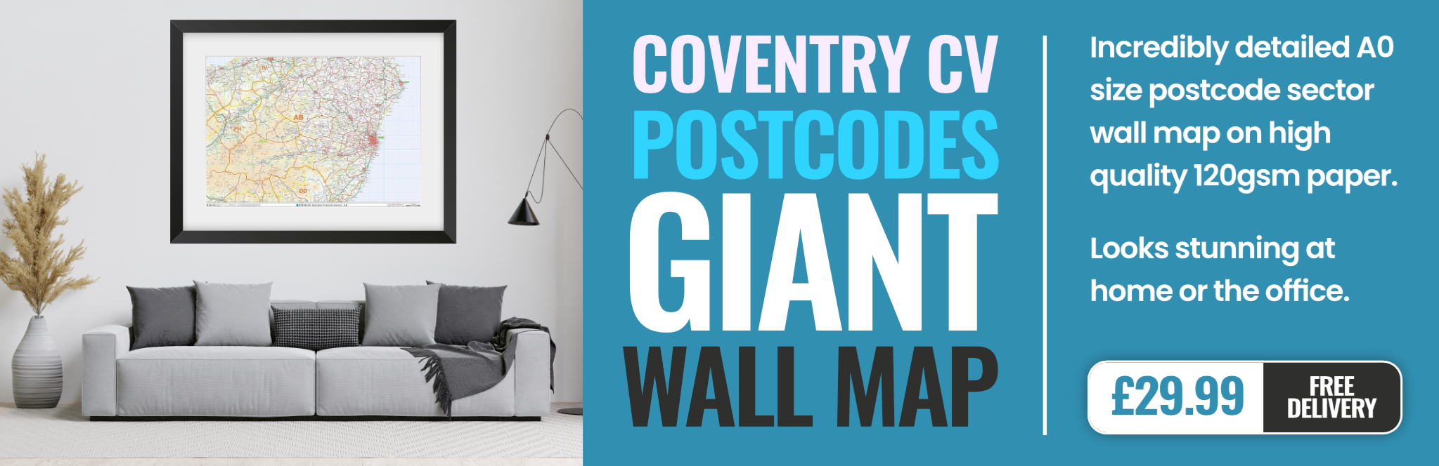
coventry CV6 Postcodes
Spending a fortune on conveyancing?

Compare instant, low-cost online quotes from trusted conveyancing solicitors.
Backed by experts, our no-obligation service searches through the best conveyancing quotes on the market to save you time and money.
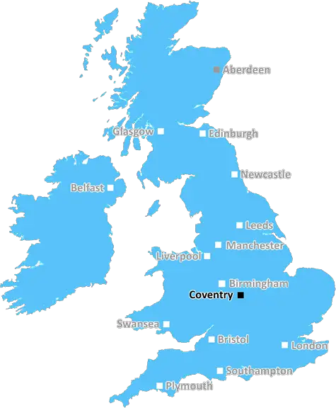
Coventry (CV6)
The CV6 postcode area is located in the Coventry postcode town region, within the county of West Midlands, and contains a total of 1975 individual postcodes.
There are 23 electoral wards in the CV6 postcode area, including Atherstone, Bedworth, Coventry, Kenilworth, Leamington Spa, Nuneaton, Rugby, Shipston-On-Stour, Southam, Stratford-Upon-Avon, Warwick which come under the local authority of the Coventry Council.
Combining the whole postcode region, 13% of people in CV6 are classed as having an AB social grade, (i.e. 'white-collar' middle-upper class), compared to 27% across the UK.
This does not mean that the people of CV6 are poorer than other areas, but it may give an indication that there are areas of deprivation.
The CV6 postcode is located in Coventry, a city in the West Midlands of England. It has an estimated population of 44,909 and the average house price within the district is �165,511.
The postal code spans multiple urban and suburban locations, including parts of Tile Hill, Canley and Eastern Green. There are two distinct areas within the CV6 postcode � Lower Eastern Green to the west and Upper Eastern Green to the east. The CV6 postcode is also home to Coventry University campuses, including Engineering and Computing, Health and Life Sciences, and Business.
Tile Hill is a large residential area with a significant Asian and Afro-Caribbean population. The area is sometimes referred to as �Little India�, due to the abundance of Indian restaurants and shops. The area is populated mostly by students, families and young professionals, and has plenty of parks and recreational facilities.
Canley is mainly residential, with some business premises, and is a largely working-class area. The Canley and Eastern Green Forum was established in 2004, in order to organise relevant projects throughout the area.
The Eastern Green area has a range of housing types, with semi-detached to terraced houses to detached housing estates. There are also some small areas of green space throughout the area and several infant and primary schools.
Public transport options are extensive in the CV6 postcode, with regular train and bus services connecting the area to the rest of Coventry and the West Midlands. There is also a cycle route for commuters who wish to cycle to their destination.
The area is well served by shopping amenities, with a supermarket and several high street shops, as well as several independent pubs and restaurants. There are also two leisure centres in the area � Academy Fitness (which includes a gym and swimming pool) and the Shacklesford Street Social Club.
In terms of culture, the CV6 postcode is home to numerous churches, community centres, and sports / leisure facilities. There is a theatre group (Coventry Action Theatre) that implements a range of theatrical performances, alongside cultural events such as Coventry Mela.
TheCV6 postcode is an extremely diverse and vibrant area of Coventry, with something for everyone. It has extensive public transport links, plenty of recreational activities and nightlife, and an array of unique cuisine to enjoy.

Demographics
West Midlands

CV6 is located in the county of West Midlands, in England.
West Midlands has a total population of 2,864,900, making it the 2nd largest county in the UK.
West Midlands has a total area of 348 square miles, and a population density of 3177 people per square kilometre. For comparison, Greater London has a density of 5,618 people/km2.
| Outward Code | CV6 |
| Postal Town | Coventry |
| MSOA Name | Coventry 017 |
| LSOA Name | Coventry 017C |
| County | West Midlands |
| Region | West Midlands |
| Country | England |
| Local Authority | Coventry |
| Area Classification | Urban with City and Town |
CV6 Electoral Wards
The postal region of CV6, includes the local towns, villages, electoral wards and stations of:
Dig even deeper into the CV6 postcode by clicking on a postcode below:
Click on an outward postal code below for more information about the area. Each 'outward' postcode give you a comprehensive list of all postcodes within the outward code area (CV) and estimated address.
Click on an 'outward' code for more information. For example, the outward postcode page 'EC2M' will give you an alphabetical list covering all postcodes located in the region, from 'EC2M 1BB' through to 'EC2M 7YA'.
Chris H
Tuesday, May 7, 2024
We don't have any views of CV6 right now. If you live in CV6 or have visited it, please help us to help others by telling others what you think of this neighbourhood.
Add your view of CV6
People need your local expertise. If you live in CV6 or have first-hand knowledge of the neighbourhood, please consider sharing your views. It's completely anonymous - all we ask is for your initials.
Please tell us what you like about the CV6 postcode area, what you don't like, and what it's like to live or work here.
| LOCAL AMENITIES | |
| FAMILY FRIENDLY | |
| PARKING | |
| GREEN SPACES |
Local News West Midlands
Integritas partners with Homes for Students for Newcastle scheme
The development, Deakin's Yard, will comprise a total of 273 student accommodation units.
Property WeekGreenlight wins approval for Redditch industrial scheme
The development will see the partial demolition of the existing buildings and the construction of126,715 sq ft of industrial space.
Property WeekNewlife appoints property consultants to drive charity store expansion
Johnson Fellows and Andy Guest & Co towill also advise the charity on leases and rent reviews.
Property WeekStoford strikes pre-sale deal to sell proposed Worcester Six Business Park HQ
MiTek will acquire the freehold in what is believed to be the largest pre-sale in Worcestershire for more than 20 years.
Property WeekDerby council approves Wavensmere Homes' 75m city centre regeneration scheme
Friar Gate Goods Yardproject includes 276 homes and more than 110,000 sq ft of commercial space.
Property WeekWest Midlands' Belfry hotel begins 80m expansion
The Belfry Hotel & Resort in Sutton Coldfield is building a newevent space as part of its expansion.
Property WeekPrologis gets green light for Coventry park expansion
The logistics firm has been granted planning permission for an additional 159,000 sq ft.
Property WeekBirmingham City FC buys land for new stadium development
An entity managed by Knighthead Capital Management has purchased the former Wheels go-karting site in Bordesley Park.
Property WeekFrom the Postcode Area blog

Deciphering Crime Rates - a Deep Dive Into UK Postcode Analysis
Ever wondered about the crime rate in your UK postcode? You're not alone. We've dug deep into the data, uncovering trends and patterns that'll make your head spin.

Death of the High Street?
The BBC reports that despite councils' attempts to kurb them, the UK's high streets have seen a huge growth in fast food outlets. Could this mark the death knell for the Great British high street, and what can we do about it to halt its decline?

Discrimination by Postcode
You really couldn't make it up, could you? Some of the country's most vulnerable people are missing out on their weekly £25 Cold Weather Payment, just because the system that's in operation is discriminating against them because payments are based on postcode, rather than geographic location.

The Redesign is Underway
Well, the current website was absolutely in dire need of a good redesign - from the ground up. So I set out to pull it all apart and get it up and running again to become the most comprehensive guide to every postcode in the UK. And it's been a long, tough job from start to finish - and quite possibly the biggest project I've ever undertaken.
SOCIAL GRADES
According to census records, 13% of people here have a social grade of AB (highest), compared to the national average of 27%.