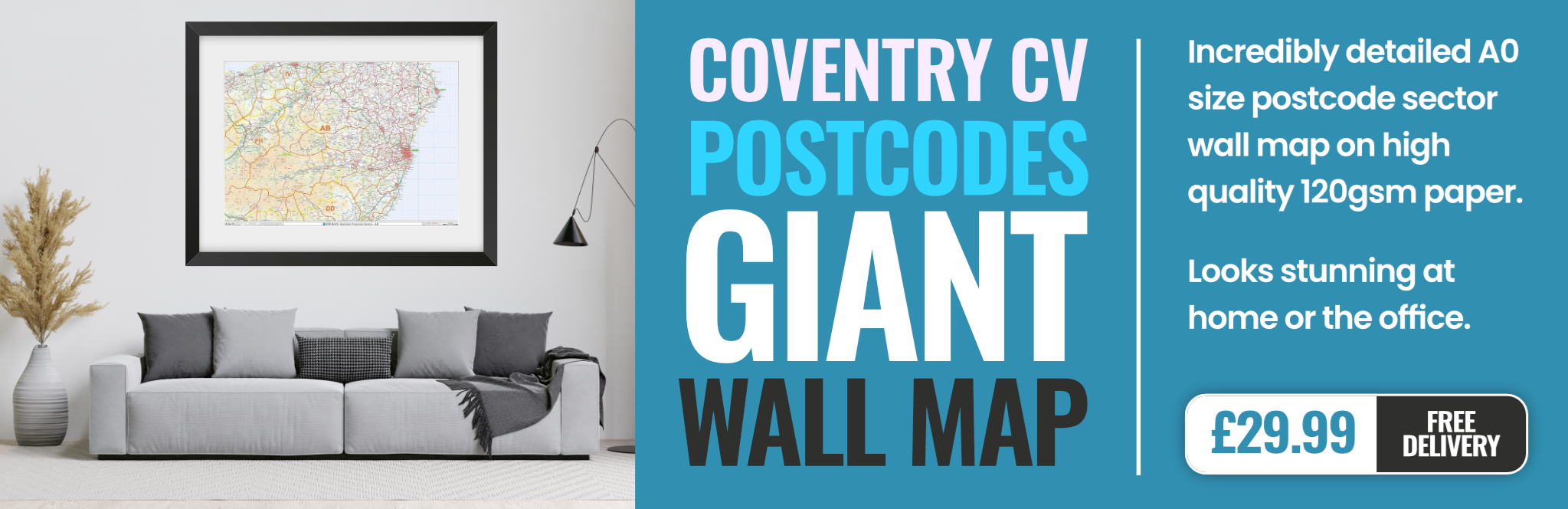
coventry CV22 Postcodes
Spending a fortune on conveyancing?

Compare instant, low-cost online quotes from trusted conveyancing solicitors.
Backed by experts, our no-obligation service searches through the best conveyancing quotes on the market to save you time and money.
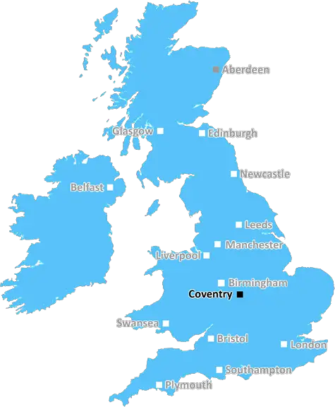
Coventry (CV22)
The CV22 postcode area is located in the Coventry postcode town region, within the county of Warwickshire, and contains a total of 884 individual postcodes.
There are 6 electoral wards in the CV22 postcode area, including Atherstone, Bedworth, Coventry, Kenilworth, Leamington Spa, Nuneaton, Rugby, Shipston-On-Stour, Southam, Stratford-Upon-Avon, Warwick which come under the local authority of the Rugby Council.
Combining the whole postcode region, 27% of people in CV22 are classed as having an AB social grade, (i.e. 'white-collar' middle-upper class), compared to 27% across the UK.
This does not mean that the people of CV22 are wealthier - or higher class - than average, but it can be an indication that the area may be prospering and desirable to live in.
The CV22 postcode is a postcode district, spanning parts of South Warwickshire and West Northamptonshire in England. It covers the villages of Barby, Crick, Daventry and the surrounding areas, with some parts of the district reaching into rural Warwickshire.
The postal towns in CV22 are Daventry and Rugby, both of which are within the Coventry district in West Midlands. The postcode is subdivided into 11 postcode sectors, with the majority of the businesses and residential properties falling under postcodes CV22 4, 6, 7 and 8.
CV22 postcodes have been used in various areas around Coventry since the Royal Mails Post Town transformations in the 1970s. The postcodes are used in the Coventry, Northampton and Rugby districts.
Within the area the CV22 postcode is used for various locations. Crick and Barby are located within the CV22 district, located in the South of Warwickshire. Also included in the CV22 postcode is Daventry, a town within the district and located in West Northamptonshire. The district has multiple rural locations too such as Newnham, Badby, Yelvertoft, Winwick and Wolfhampcote.
In terms of transport links, the area is within the catchment of both M1 and M6 motorway networks, as well as the A5 which connects the postcodes in the district. The rail route in the combined area travels through the villages of Barby, Crick and Harrington, as well as through the towns of Towcester, Northampton and Rugby.
The area is served by three separate schools, three primary schools in form of Wolfhampcote, Yelvertoft and Newnham, as well as two secondary schools � Bilton Grange in Rugby and Campion School in Daventry.
In terms of employment, the area plays host to a wide variety of jobs in both manual and white collar fields. Manufacturing, engineering and logistics are the most prominent job roles located in the area, with many businesses such as Manitou Group, BNP Paribas and the Stafordshire Immediate Care Service all based here. Additional jobs such as software development and financial services are all available to workers looking for roles in the district.
Finally, the hospitals in CV22 include the Treefield Surgery and Crick Health Centre in Crick, as well as the Nuffield Hospital in Daventry and the Rugby Hospital in Rugby.

Demographics
Warwickshire

CV22 is located in the county of Warwickshire, in England.
Warwickshire has a total population of 556,800, making it the 39th largest county in the UK.
Warwickshire has a total area of 763 square miles, and a population density of 281 people per square kilometre. For comparison, Greater London has a density of 5,618 people/km2.
| Outward Code | CV22 |
| Postal Town | Coventry |
| MSOA Name | Rugby 009 |
| LSOA Name | Rugby 009B |
| County | Warwickshire |
| Region | Warwickshire |
| Country | England |
| Local Authority | Rugby |
| Area Classification | Urban with City and Town |
CV22 Electoral Wards
The postal region of CV22, includes the local towns, villages, electoral wards and stations of:
Dig even deeper into the CV22 postcode by clicking on a postcode below:
Click on an outward postal code below for more information about the area. Each 'outward' postcode give you a comprehensive list of all postcodes within the outward code area (CV) and estimated address.
Click on an 'outward' code for more information. For example, the outward postcode page 'EC2M' will give you an alphabetical list covering all postcodes located in the region, from 'EC2M 1BB' through to 'EC2M 7YA'.
Chris H
Sunday, April 7, 2024
We don't have any views of CV22 right now. If you live in CV22 or have visited it, please help us to help others by telling others what you think of this neighbourhood.
Add your view of CV22
People need your local expertise. If you live in CV22 or have first-hand knowledge of the neighbourhood, please consider sharing your views. It's completely anonymous - all we ask is for your initials.
Please tell us what you like about the CV22 postcode area, what you don't like, and what it's like to live or work here.
| LOCAL AMENITIES | |
| FAMILY FRIENDLY | |
| PARKING | |
| GREEN SPACES |
Local News Warwickshire
Warwickshire author goes global
Meet Charlotte, whose book about life as an autistic person is an Amazon bestseller.
BBC NewsKashif ton puts Worcestershire on top at Bears
Kashif Ali scores his maiden first-class century as Worcestershire enjoy a good first day with the bat at Warwickshire.
BBC NewsMother, 85, felt abandoned by NHS, daughter says
Jean Morgan's daughter says she felt abandoned by the NHS after being told she was not a priority.
BBC NewsLeamington's peregrine falcons lay their first egg
Three live webcams are capturing views of a nesting pair of birds in the town.
BBC NewsNurse's NHS climate work recognised
Ebenezer Akore Yeboah is researching how NHS workers could cut waste and reduce their energy use.
BBC NewsRat infestations on the rise in Coventry and Warwickshire
A total of 743 infestations were dealt with every day last year.
BBC NewsPolice hunt after teenager stabbed in face
Warwickshire Police says it has a large presence in Bedworth as officers try to find the suspect.
BBC NewsWorking class portrayed in photography exhibition
The Herbert Art Gallery is the first venue to host the After the End of History exhibition.
BBC NewsFrom the Postcode Area blog

Deciphering Crime Rates - a Deep Dive Into UK Postcode Analysis
Ever wondered about the crime rate in your UK postcode? You're not alone. We've dug deep into the data, uncovering trends and patterns that'll make your head spin.

Death of the High Street?
The BBC reports that despite councils' attempts to kurb them, the UK's high streets have seen a huge growth in fast food outlets. Could this mark the death knell for the Great British high street, and what can we do about it to halt its decline?

Discrimination by Postcode
You really couldn't make it up, could you? Some of the country's most vulnerable people are missing out on their weekly £25 Cold Weather Payment, just because the system that's in operation is discriminating against them because payments are based on postcode, rather than geographic location.

The Redesign is Underway
Well, the current website was absolutely in dire need of a good redesign - from the ground up. So I set out to pull it all apart and get it up and running again to become the most comprehensive guide to every postcode in the UK. And it's been a long, tough job from start to finish - and quite possibly the biggest project I've ever undertaken.
SOCIAL GRADES
According to census records, 27% of people here have a social grade of AB (highest), compared to the national average of 27%.