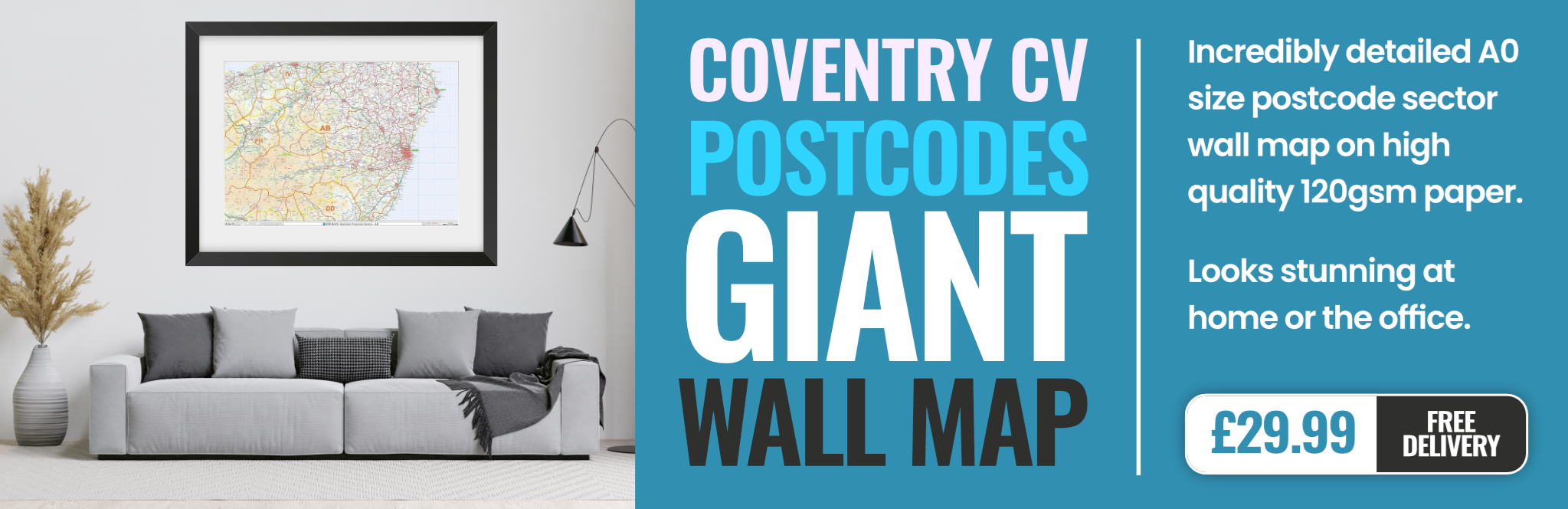
coventry CV11 Postcodes
Spending a fortune on conveyancing?

Compare instant, low-cost online quotes from trusted conveyancing solicitors.
Backed by experts, our no-obligation service searches through the best conveyancing quotes on the market to save you time and money.
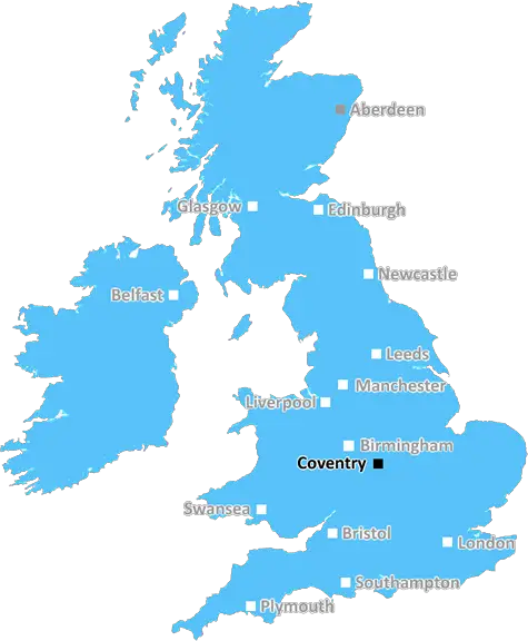
Coventry (CV11)
The CV11 postcode area is located in the Coventry postcode town region, within the county of Warwickshire, and contains a total of 1222 individual postcodes.
There are 12 electoral wards in the CV11 postcode area, including Atherstone, Bedworth, Coventry, Kenilworth, Leamington Spa, Nuneaton, Rugby, Shipston-On-Stour, Southam, Stratford-Upon-Avon, Warwick which come under the local authority of the Nuneaton and Bedworth Council.
Combining the whole postcode region, 22% of people in CV11 are classed as having an AB social grade, (i.e. 'white-collar' middle-upper class), compared to 27% across the UK.
This does not mean that the people of CV11 are poorer than other areas, but it may give an indication that there are areas of deprivation.
The CV11 postcode is located in the Coventry district in the West Midlands region of the United Kingdom. Coventry district is home to a population of over 320,000 people.
As a large town in the West Midlands, the CV11 postcode covers a wide variety of areas. These include the area of Finham, Wyken, Ernesford Grange, Stivichall, and Whitley. It also covers the older parts of Coventry, such as Stoke and Canley, which have a number of historic buildings and places of interest. The postcode is also home to some of the most dramatic landscapes in the area, such as the woodland and waterscape of Wyken/Ernesford Pools and the attractive tree-lined streets of the Earlsdon area.
The CV11 postcode is home to a great selection of amenities, which include several small independent businesses and well-known chain stores from a variety of sectors. These range from convenience stores to restaurants, pubs and coffee shops. There are also hairdressers, beauty salons, schools and nurseries, and a number of health and leisure centres scattered throughout the area.
The CV11 postcode is served by a good network of public transport including regular buses and trams. Additionally, there are a number of Taxi and Private Hire centres located within the area, allowing people to get to and from different parts of Coventry quickly and easily.
In terms of leisure activities, the CV11 postcode is home to a wide variety of parks, which offer open spaces and recreational facilities, including playgrounds, picnic areas and sports grounds. Additionally, the area is popular with walkers, cyclists and runners, with a number of trails and paths often well-used by local people.
The postcode covers some of the most popular residential areas in Coventry, which provide a range of housing options from Victorian townhouses to purpose-built homes. Consequently, the area is well-maintained and clean, benefitting from the green spaces and streetscapes which help to create a pleasant living environment for the local population.
TheCV11 postcode is an integral part of the Coventry district and offers a wide range of features for people of all ages. From historic sites to modern facilities, it is a desirable area with plenty to offer.

Demographics
Warwickshire

CV11 is located in the county of Warwickshire, in England.
Warwickshire has a total population of 556,800, making it the 39th largest county in the UK.
Warwickshire has a total area of 763 square miles, and a population density of 281 people per square kilometre. For comparison, Greater London has a density of 5,618 people/km2.
| Outward Code | CV11 |
| Postal Town | Coventry |
| MSOA Name | Nuneaton and Bedworth 005 |
| LSOA Name | Nuneaton and Bedworth 005A |
| County | Warwickshire |
| Region | Warwickshire |
| Country | England |
| Local Authority | Nuneaton and Bedworth |
| Area Classification | Urban with City and Town |
CV11 Electoral Wards
The postal region of CV11, includes the local towns, villages, electoral wards and stations of:
Dig even deeper into the CV11 postcode by clicking on a postcode below:
Click on an outward postal code below for more information about the area. Each 'outward' postcode give you a comprehensive list of all postcodes within the outward code area (CV) and estimated address.
Click on an 'outward' code for more information. For example, the outward postcode page 'EC2M' will give you an alphabetical list covering all postcodes located in the region, from 'EC2M 1BB' through to 'EC2M 7YA'.
Chris H
Wednesday, May 8, 2024
We don't have any views of CV11 right now. If you live in CV11 or have visited it, please help us to help others by telling others what you think of this neighbourhood.
Add your view of CV11
People need your local expertise. If you live in CV11 or have first-hand knowledge of the neighbourhood, please consider sharing your views. It's completely anonymous - all we ask is for your initials.
Please tell us what you like about the CV11 postcode area, what you don't like, and what it's like to live or work here.
| LOCAL AMENITIES | |
| FAMILY FRIENDLY | |
| PARKING | |
| GREEN SPACES |
Local News Warwickshire
Czech on a Trek for charity
Connor and Daniel from Coventry are getting ready for a huge summer challenge!
BBC NewsInteractive Futures is back!
Warwickshire's standing as a powerhouse in the UK's video game industry will be celebrated at a free networking and careers event.
Warwick District CouncilLand transfers completed for new Country Park
A significant milestone in the development of the 49-hectare (121-acre) Tachbrook Country Park has been reached with the completion of the transfer of land from developers AC Lloyd to Warwick District&hellip
Warwick District CouncilSt Mary's Church in Warwick Re-opens
The church has gone through a 1.8million restoration and reopens to the public
BBC NewsPublic notice - footpath closure Abbey Fields, Kenilworth
Temporary closure of footpath around construction site at Abbey Fields.
Warwick District CouncilIntroducing Richard Parker: the new Mayor of the West Midlands
The Labour candidate has been elected to be the West Midlands new Mayor.
BBC NewsInteractive Futures 2024
Interactive Futures is returning to the Royal Spa Centre in Leamington Spa this May to host some of the biggest names in video games.
Warwick District CouncilAbbey Fields Swimming Pools redevelopment restarts
The redevelopment of the swimming pools at Abbey Fields in Kenilworth restarted today (Monday 18 March).
Warwick District CouncilFrom the Postcode Area blog

Deciphering Crime Rates - a Deep Dive Into UK Postcode Analysis
Ever wondered about the crime rate in your UK postcode? You're not alone. We've dug deep into the data, uncovering trends and patterns that'll make your head spin.

Death of the High Street?
The BBC reports that despite councils' attempts to kurb them, the UK's high streets have seen a huge growth in fast food outlets. Could this mark the death knell for the Great British high street, and what can we do about it to halt its decline?

Discrimination by Postcode
You really couldn't make it up, could you? Some of the country's most vulnerable people are missing out on their weekly £25 Cold Weather Payment, just because the system that's in operation is discriminating against them because payments are based on postcode, rather than geographic location.

The Redesign is Underway
Well, the current website was absolutely in dire need of a good redesign - from the ground up. So I set out to pull it all apart and get it up and running again to become the most comprehensive guide to every postcode in the UK. And it's been a long, tough job from start to finish - and quite possibly the biggest project I've ever undertaken.
SOCIAL GRADES
According to census records, 22% of people here have a social grade of AB (highest), compared to the national average of 27%.