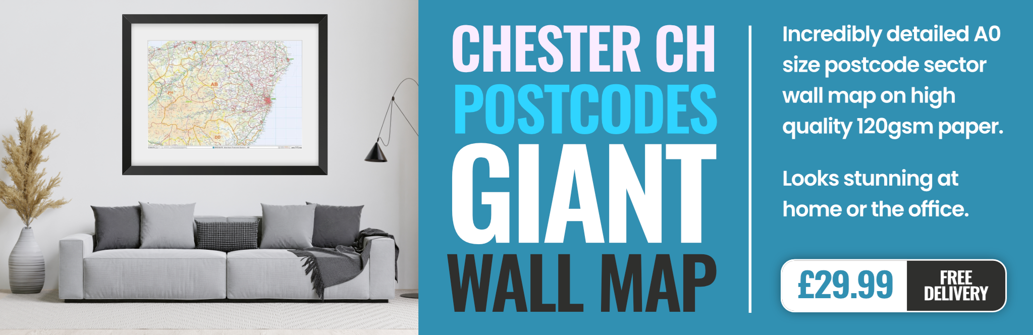
chester CH5 Postcodes
Spending a fortune on conveyancing?

Compare instant, low-cost online quotes from trusted conveyancing solicitors.
Backed by experts, our no-obligation service searches through the best conveyancing quotes on the market to save you time and money.
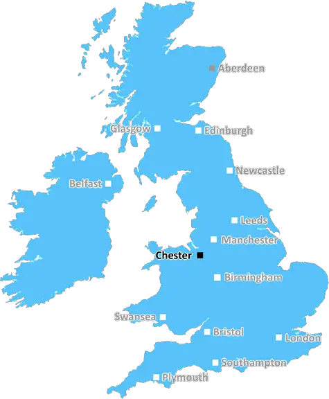
Chester (CH5)
The CH5 postcode area is located in the Chester postcode town region, within the county of Flintshire, and contains a total of 1373 individual postcodes.
There are 20 electoral wards in the CH5 postcode area, including Bagillt, Birkenhead, Buckley, Chester, Deeside, Ellesmere Port, Flint, Holywell, Mold, Neston, Prenton, Wallasey, Wirral which come under the local authority of the Flintshire Council.
Combining the whole postcode region, 16% of people in CH5 are classed as having an AB social grade, (i.e. 'white-collar' middle-upper class), compared to 27% across the UK.
This does not mean that the people of CH5 are poorer than other areas, but it may give an indication that there are areas of deprivation.
CH5 is a postcode district located in the Chester region of the United Kingdom. The district is mainly residential, containing areas like Blacon, Great Broughton, Saughall, Upton, and part of Boughton which is mainly an industrial area. Alongside these areas, there are several villages such as Pentre, Farndon, and Hawarden which form part of the district.
CH5 has excellent transport links that make it easily accessible to the rest of the country. For instance, Hawarden Railway Station provides direct transport links to Manchester, Liverpool, and Chester, while the nearby A55 roadway offers quick access to North Wales. Chester Railway Station also provides direct connections to major cities like Birmingham and London. Additionally, frequent bus services make it easier for CH5 residents to move around the region.
The district also boasts numerous educational facilities including primary and secondary schools, university colleges, and independent schools. In essence, the area provides numerous educational opportunities for students of all ages.
CH5 is home to a range of leisure activities that make it an attractive place for residents. Among poplar leisure activities are the Cheshire Oaks, a large shopping complex with a variety of shops, restaurants, and a cinema. Additionally, there are several parks, a zoo, and a cycle path. CH5 also has a range of restaurants, cafes and pubs located around the area.
The district is a vibrant and friendly place to live with a variety of amenities and leisure activities. Residents benefit from great transport links to other parts of the country and educational opportunities. The variety of leisure offerings available make it an enjoyable place to call home.

Demographics
Flintshire

CH5 is located in the county of Flintshire, in Wales.
Flintshire has a total population of 154,400, making it the 6th largest county in the UK.
Flintshire has a total area of 169 square miles, and a population density of 352 people per square kilometre. For comparison, Greater London has a density of 5,618 people/km2.
| Outward Code | CH5 |
| Postal Town | Chester |
| MSOA Name | Flintshire 009 |
| LSOA Name | Flintshire 009C |
| County | Flintshire |
| Region | Flintshire |
| Country | Wales |
| Local Authority | Flintshire |
| Area Classification | Unclassified |
CH5 Electoral Wards
The postal region of CH5, includes the local towns, villages, electoral wards and stations of:
Dig even deeper into the CH5 postcode by clicking on a postcode below:
Click on an outward postal code below for more information about the area. Each 'outward' postcode give you a comprehensive list of all postcodes within the outward code area (CH) and estimated address.
Click on an 'outward' code for more information. For example, the outward postcode page 'EC2M' will give you an alphabetical list covering all postcodes located in the region, from 'EC2M 1BB' through to 'EC2M 7YA'.
Chris H
Saturday, April 6, 2024
We don't have any views of CH5 right now. If you live in CH5 or have visited it, please help us to help others by telling others what you think of this neighbourhood.
Add your view of CH5
People need your local expertise. If you live in CH5 or have first-hand knowledge of the neighbourhood, please consider sharing your views. It's completely anonymous - all we ask is for your initials.
Please tell us what you like about the CH5 postcode area, what you don't like, and what it's like to live or work here.
| LOCAL AMENITIES | |
| FAMILY FRIENDLY | |
| PARKING | |
| GREEN SPACES |
From the Postcode Area blog

Deciphering Crime Rates - a Deep Dive Into UK Postcode Analysis
Ever wondered about the crime rate in your UK postcode? You're not alone. We've dug deep into the data, uncovering trends and patterns that'll make your head spin.

Death of the High Street?
The BBC reports that despite councils' attempts to kurb them, the UK's high streets have seen a huge growth in fast food outlets. Could this mark the death knell for the Great British high street, and what can we do about it to halt its decline?

Discrimination by Postcode
You really couldn't make it up, could you? Some of the country's most vulnerable people are missing out on their weekly £25 Cold Weather Payment, just because the system that's in operation is discriminating against them because payments are based on postcode, rather than geographic location.

The Redesign is Underway
Well, the current website was absolutely in dire need of a good redesign - from the ground up. So I set out to pull it all apart and get it up and running again to become the most comprehensive guide to every postcode in the UK. And it's been a long, tough job from start to finish - and quite possibly the biggest project I've ever undertaken.
SOCIAL GRADES
According to census records, 16% of people here have a social grade of AB (highest), compared to the national average of 27%.