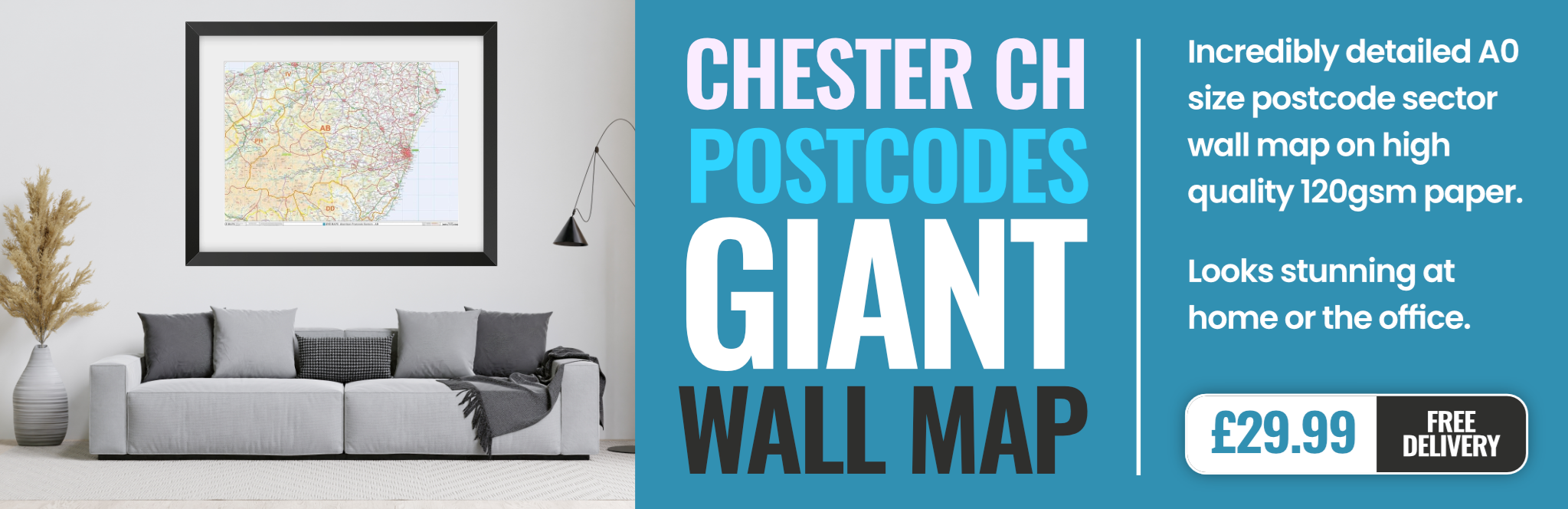
chester CH43 Postcodes
Spending a fortune on conveyancing?

Compare instant, low-cost online quotes from trusted conveyancing solicitors.
Backed by experts, our no-obligation service searches through the best conveyancing quotes on the market to save you time and money.
Chester (CH43)
The CH43 postcode area is located in the Chester postcode town region, within the county of Merseyside, and contains a total of 1075 individual postcodes.
There are 8 electoral wards in the CH43 postcode area, including Bagillt, Birkenhead, Buckley, Chester, Deeside, Ellesmere Port, Flint, Holywell, Mold, Neston, Prenton, Wallasey, Wirral which come under the local authority of the Wirral Council.
Combining the whole postcode region, 17% of people in CH43 are classed as having an AB social grade, (i.e. 'white-collar' middle-upper class), compared to 27% across the UK.
This does not mean that the people of CH43 are poorer than other areas, but it may give an indication that there are areas of deprivation.
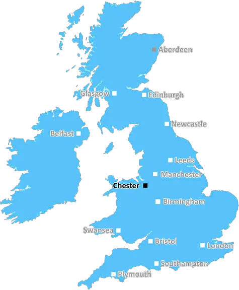
CH43 is an area of Chester located in the northwest of England. It covers parts of the suburbs of Ellesmere Port, Great Sutton, Neston and Chester itself, with a total population of approximately 18,000. It is largely a suburban area, with family homes being the most common property type, although there is also some office space and industrial units located in the area.
The area is well-connected by road and rail, and there is easy access to the M56, making commuting to cities such as Liverpool and Manchester both easy and convenient. The local railway station, Ellesmere Port, connects commuters to Liverpool and other areas of Cheshire. Local amenities include supermarkets, banks, gyms and leisure centres, as well as independent stores and restaurants.
Schools in the area include Cheshire Oaks High School, West Park Primary School, and Great Sutton Primary School. Ellesmere Port is also home to the University of Chester's University Centre. Parks, nature reserves and leisure centres such as Stanney Oaks Leisure Centre are also on hand for recreational activities.
The area is also popular with families due to its local lakes and onsite golf courses. Other attractions include the nearby historic Chester Zoo, as well as Chester Racecourse and the world-famous Blacon Adventure Park.
In terms of industries, the area is home to a range of companies, from small factories to large multinationals. There is a local emphasis on manufacturing and engineering, with companies such as Merseyside-based Norcros and aerospace giant BAE Systems based in the area. There are also a number of local employers such as Avon Products UK, and retail stores such as Asda, making it an attractive place for employees to live and work.

Demographics
Merseyside

CH43 is located in the county of Merseyside, in England.
Merseyside has a total population of 1,406,400, making it the 9th largest county in the UK.
Merseyside has a total area of 250 square miles, and a population density of 2174 people per square kilometre. For comparison, Greater London has a density of 5,618 people/km2.
| Outward Code | CH43 |
| Postal Town | Chester |
| MSOA Name | Wirral 024 |
| LSOA Name | Wirral 024E |
| County | Merseyside |
| Region | Merseyside |
| Country | England |
| Local Authority | Wirral |
| Area Classification | Urban with Major Conurbation |
CH43 Electoral Wards
The postal region of CH43, includes the local towns, villages, electoral wards and stations of:
Dig even deeper into the CH43 postcode by clicking on a postcode below:
Click on an outward postal code below for more information about the area. Each 'outward' postcode give you a comprehensive list of all postcodes within the outward code area (CH) and estimated address.
Click on an 'outward' code for more information. For example, the outward postcode page 'EC2M' will give you an alphabetical list covering all postcodes located in the region, from 'EC2M 1BB' through to 'EC2M 7YA'.
CR, Chester
Tuesday, April 19, 2022
Great pace to live
Add your view of CH43
People need your local expertise. If you live in CH43 or have first-hand knowledge of the neighbourhood, please consider sharing your views. It's completely anonymous - all we ask is for your initials.
Please tell us what you like about the CH43 postcode area, what you don't like, and what it's like to live or work here.
| LOCAL AMENITIES | |
| FAMILY FRIENDLY | |
| PARKING | |
| GREEN SPACES |
From the Postcode Area blog

Deciphering Crime Rates - a Deep Dive Into UK Postcode Analysis
Ever wondered about the crime rate in your UK postcode? You're not alone. We've dug deep into the data, uncovering trends and patterns that'll make your head spin.

Death of the High Street?
The BBC reports that despite councils' attempts to kurb them, the UK's high streets have seen a huge growth in fast food outlets. Could this mark the death knell for the Great British high street, and what can we do about it to halt its decline?

Discrimination by Postcode
You really couldn't make it up, could you? Some of the country's most vulnerable people are missing out on their weekly £25 Cold Weather Payment, just because the system that's in operation is discriminating against them because payments are based on postcode, rather than geographic location.

The Redesign is Underway
Well, the current website was absolutely in dire need of a good redesign - from the ground up. So I set out to pull it all apart and get it up and running again to become the most comprehensive guide to every postcode in the UK. And it's been a long, tough job from start to finish - and quite possibly the biggest project I've ever undertaken.
SOCIAL GRADES
According to census records, 17% of people here have a social grade of AB (highest), compared to the national average of 27%.