cardiff CF72 Postcodes
Spending a fortune on conveyancing?

Compare instant, low-cost online quotes from trusted conveyancing solicitors.
Backed by experts, our no-obligation service searches through the best conveyancing quotes on the market to save you time and money.
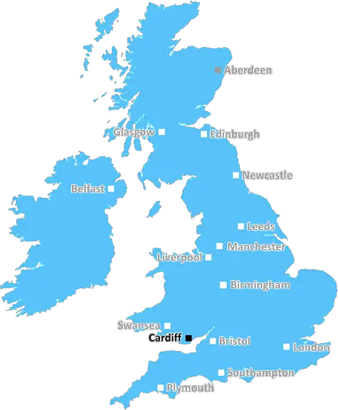
Cardiff (CF72)
The CF72 postcode area is located in the Cardiff postcode town region, within the county of Glamorgan, and contains a total of 798 individual postcodes.
There are 40 electoral wards in the CF72 postcode area, including Aberdare, Bargoed, Barry, Bridgend, Caerphilly, Cardiff, Cowbridge, Dinas Powys, Ferndale, Hengoed, Llantwit Major, Maesteg, Merthyr Tydfil, Mountain Ash, Penarth, Pentre, Pontyclun, Pontypridd, Porth, Porthcawl, Tonypandy, Treharris, Treorchy which come under the local authority of the Rhondda Cynon Taf Council.
Combining the whole postcode region, 27% of people in CF72 are classed as having an AB social grade, (i.e. 'white-collar' middle-upper class), compared to 27% across the UK.
This does not mean that the people of CF72 are wealthier - or higher class - than average, but it can be an indication that the area may be prospering and desirable to live in.
The CF72 postcode covers the suburban area of Llantrisant, Tongwynlais, Pentyrch, Llanilltud Faerdre and St Fagans in the Cardiff district of South Wales, UK. It lies within the Plaid Cymru (Wales) Parliamentary constituency and lies on the western edge of the capital city, Cardiff.
The area is characterised by tranquil parkland, rolling hills, riverside walks and a rich industrial heritage. Nestled in the Welsh countryside, surrounded by rolling hills and friendly villages, CF72 is only a 12 mile drive away from Cardiff city centre and offers all the amenities of modern city living.
Llantrisant is the largest town in the CF72 postcode area offering a host of amenities such as banks, supermarkets, schools and health facilities. It is home to the Royal Mint, co-owned by the Queen, which currently produces coins, medals and other products for countries around the world. Llantrisant also boasts a rich historical and architectural heritage, with several Norman castles in the area. The town is home to St Illtud's Church whose grounds contain a beautifully preserved Norman door and wall paintings from the 13th century.
The surrounding villages are equally charming and offer a variety of places to explore. Tongwynlais is home to the famous Castell Coch, a Victorian Gothic-style castle. Built for the Third Marquis of Bute in the late 19th century, it stands high on a hillside and is now a popular tourist attraction. Further north sits Pentyrch, with its natural springs, riverside walks and 18th-century Castell Coch, which was built for William Morgan, the first Baron Tredegar. To the south is the lovely Llantrisant Forest, a tranquil wilderness and a great spot for walking and stargazing.
Further down the valley, in Llanilltud Faerdre, lies St Fagans National Museum, a living history museum containing original historic buildings from across Wales. The area is known for its beautiful gardens, woodland, rare breeds farm and a wide range of educational activities for all ages. The museum also offers a number of exhibitions, including the Story of Wales, with interactive displays to teach visitors about the history of Wales and its people.
for those looking for respite from city life yet access to all the amenities nearby, CF72 postcode area offers an ideal rural location to settle and raise a family.

Demographics
Glamorgan

CF72 is located in the county of Glamorgan, in Wales.
Glamorgan has a total population of 0, making it the largest county in the UK.
Glamorgan has a total area of square miles, and a population density of people per square kilometre. For comparison, Greater London has a density of 5,618 people/km2.
| Outward Code | CF72 |
| Postal Town | Cardiff |
| MSOA Name | Rhondda Cynon Taf 030 |
| LSOA Name | Rhondda Cynon Taf 030D |
| County | Glamorgan |
| Region | Glamorgan |
| Country | Wales |
| Local Authority | Rhondda Cynon Taf |
| Area Classification | Unclassified |
CF72 Electoral Wards
The postal region of CF72, includes the local towns, villages, electoral wards and stations of:
Dig even deeper into the CF72 postcode by clicking on a postcode below:
Click on an outward postal code below for more information about the area. Each 'outward' postcode give you a comprehensive list of all postcodes within the outward code area (CF) and estimated address.
Click on an 'outward' code for more information. For example, the outward postcode page 'EC2M' will give you an alphabetical list covering all postcodes located in the region, from 'EC2M 1BB' through to 'EC2M 7YA'.
Chris H
Saturday, April 6, 2024
We don't have any views of CF72 right now. If you live in CF72 or have visited it, please help us to help others by telling others what you think of this neighbourhood.
Add your view of CF72
People need your local expertise. If you live in CF72 or have first-hand knowledge of the neighbourhood, please consider sharing your views. It's completely anonymous - all we ask is for your initials.
Please tell us what you like about the CF72 postcode area, what you don't like, and what it's like to live or work here.
| LOCAL AMENITIES | |
| FAMILY FRIENDLY | |
| PARKING | |
| GREEN SPACES |
From the Postcode Area blog

Deciphering Crime Rates - a Deep Dive Into UK Postcode Analysis
Ever wondered about the crime rate in your UK postcode? You're not alone. We've dug deep into the data, uncovering trends and patterns that'll make your head spin.

Death of the High Street?
The BBC reports that despite councils' attempts to kurb them, the UK's high streets have seen a huge growth in fast food outlets. Could this mark the death knell for the Great British high street, and what can we do about it to halt its decline?

Discrimination by Postcode
You really couldn't make it up, could you? Some of the country's most vulnerable people are missing out on their weekly £25 Cold Weather Payment, just because the system that's in operation is discriminating against them because payments are based on postcode, rather than geographic location.

The Redesign is Underway
Well, the current website was absolutely in dire need of a good redesign - from the ground up. So I set out to pull it all apart and get it up and running again to become the most comprehensive guide to every postcode in the UK. And it's been a long, tough job from start to finish - and quite possibly the biggest project I've ever undertaken.
SOCIAL GRADES
According to census records, 27% of people here have a social grade of AB (highest), compared to the national average of 27%.