cardiff CF45 Postcodes
Spending a fortune on conveyancing?

Compare instant, low-cost online quotes from trusted conveyancing solicitors.
Backed by experts, our no-obligation service searches through the best conveyancing quotes on the market to save you time and money.
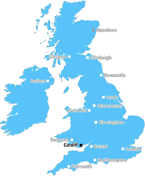
Cardiff (CF45)
The CF45 postcode area is located in the Cardiff postcode town region, within the county of Glamorgan, and contains a total of 483 individual postcodes.
There are 22 electoral wards in the CF45 postcode area, including Aberdare, Bargoed, Barry, Bridgend, Caerphilly, Cardiff, Cowbridge, Dinas Powys, Ferndale, Hengoed, Llantwit Major, Maesteg, Merthyr Tydfil, Mountain Ash, Penarth, Pentre, Pontyclun, Pontypridd, Porth, Porthcawl, Tonypandy, Treharris, Treorchy which come under the local authority of the Rhondda Cynon Taf Council.
Combining the whole postcode region, 9% of people in CF45 are classed as having an AB social grade, (i.e. 'white-collar' middle-upper class), compared to 27% across the UK.
This does not mean that the people of CF45 are poorer than other areas, but it may give an indication that there are areas of deprivation.
The CF45 postcode covers a large area situated to the north of Rhondda Cynon Taf in South Wales. It is mainly residential, but also includes industrial sites and retail parks. It includes Aberdare, Mountain Ash, Ferndale, Cwmaman and the small villages of Glynhafod, Cwmlai, Cwmparc, Penllegaer and Castell y Rhos. Aberdare is the main town in the area with a population of around 28,000 and a range of shops, pubs and caf�s.
The CF45 postcode area has seven schools, including one private school. It also has two Supermarkets, namely Lidl and Asda. The closest hospital is the Royal Glamorgan in Llantrisant.
Public transport in the area is good with regular bus services and frequent trains to Cardiff and the rest of Wales. The M4 motorway runs nearby and provides easy access to Cardiff and Swansea.
CF45 boasts some beautiful countryside with a variety of parks and green areas. It has long been a popular destination for walkers and cyclists, offering fantastic views. The Rhondda Heritage Valley Park and Dare Valley Country Park are popular attractions. In addition, many historical sites from the Industrial Revolution can be seen in the area.
The area has a number of sports facilities available, including both local and national teams such as the Aberdare RFC. There are a number of Golf courses, as well as indoor swimming pools and sports centres.
Local businesses in CF45 postcode have seen some investment in recent years, with companies such as Rhondda Cynon Taff Countyside Development and Valleys Investment Fund providing funding for small businesses in the area.
The area also welcomes many visitors, as it is close to the Brecon Beacons National Park, providing access to great climbing, walking and cycling routes. Snowdonia National Park is also just a short drive away.

Demographics
Glamorgan

CF45 is located in the county of Glamorgan, in Wales.
Glamorgan has a total population of 0, making it the largest county in the UK.
Glamorgan has a total area of square miles, and a population density of people per square kilometre. For comparison, Greater London has a density of 5,618 people/km2.
| Outward Code | CF45 |
| Postal Town | Cardiff |
| MSOA Name | Rhondda Cynon Taf 006 |
| LSOA Name | Rhondda Cynon Taf 006C |
| County | Glamorgan |
| Region | Glamorgan |
| Country | Wales |
| Local Authority | Rhondda Cynon Taf |
| Area Classification | Unclassified |
CF45 Electoral Wards
The postal region of CF45, includes the local towns, villages, electoral wards and stations of:
Dig even deeper into the CF45 postcode by clicking on a postcode below:
Click on an outward postal code below for more information about the area. Each 'outward' postcode give you a comprehensive list of all postcodes within the outward code area (CF) and estimated address.
Click on an 'outward' code for more information. For example, the outward postcode page 'EC2M' will give you an alphabetical list covering all postcodes located in the region, from 'EC2M 1BB' through to 'EC2M 7YA'.
Chris H
Wednesday, April 17, 2024
We don't have any views of CF45 right now. If you live in CF45 or have visited it, please help us to help others by telling others what you think of this neighbourhood.
Add your view of CF45
People need your local expertise. If you live in CF45 or have first-hand knowledge of the neighbourhood, please consider sharing your views. It's completely anonymous - all we ask is for your initials.
Please tell us what you like about the CF45 postcode area, what you don't like, and what it's like to live or work here.
| LOCAL AMENITIES | |
| FAMILY FRIENDLY | |
| PARKING | |
| GREEN SPACES |
From the Postcode Area blog

Deciphering Crime Rates - a Deep Dive Into UK Postcode Analysis
Ever wondered about the crime rate in your UK postcode? You're not alone. We've dug deep into the data, uncovering trends and patterns that'll make your head spin.

Death of the High Street?
The BBC reports that despite councils' attempts to kurb them, the UK's high streets have seen a huge growth in fast food outlets. Could this mark the death knell for the Great British high street, and what can we do about it to halt its decline?

Discrimination by Postcode
You really couldn't make it up, could you? Some of the country's most vulnerable people are missing out on their weekly £25 Cold Weather Payment, just because the system that's in operation is discriminating against them because payments are based on postcode, rather than geographic location.

The Redesign is Underway
Well, the current website was absolutely in dire need of a good redesign - from the ground up. So I set out to pull it all apart and get it up and running again to become the most comprehensive guide to every postcode in the UK. And it's been a long, tough job from start to finish - and quite possibly the biggest project I've ever undertaken.
SOCIAL GRADES
According to census records, 9% of people here have a social grade of AB (highest), compared to the national average of 27%.