canterbury CT16 Postcodes
Spending a fortune on conveyancing?

Compare instant, low-cost online quotes from trusted conveyancing solicitors.
Backed by experts, our no-obligation service searches through the best conveyancing quotes on the market to save you time and money.
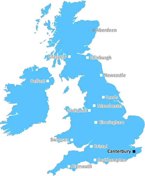
Canterbury (CT16)
The CT16 postcode area is located in the Canterbury postcode town region, within the county of Kent, and contains a total of 898 individual postcodes.
There are 15 electoral wards in the CT16 postcode area, including Birchington, Broadstairs, Canterbury, Deal, Dover, Folkestone, Herne Bay, Hythe, Margate, Ramsgate, Sandwich, Westgate-On-Sea, Whitstable which come under the local authority of the Dover Council.
Combining the whole postcode region, 14% of people in CT16 are classed as having an AB social grade, (i.e. 'white-collar' middle-upper class), compared to 27% across the UK.
This does not mean that the people of CT16 are poorer than other areas, but it may give an indication that there are areas of deprivation.
CT16 is a postcode area in the Canterbury district in England. It covers the eastern part of the district, including the towns of Dover, Deal, Sandwich, Walmer and Northbourne.
The CT16 postcode area is served by Dover and Deal Crown Post Office, located in Dover and Deal respectively. It has a population of around 79,000 people, and is an ethnically diverse area, boasting Chinese, Indian, Pakistani and Bangladeshi communities.
The CT16 postcodes are part of the ancient Cinque Ports area of England, which includes the towns of Sandwich, Deal and Walmer. This area has played a significant role in English history, and was originally founded in an agreement between the King of England and certain towns in South East England that they would provide ships for the King's service. This made the coastal towns very important for trade and defence.
The CT16 postcode area is a relatively large area, encompassing the historic towns of Dover, Deal, Walmer and Sandwich, as well as Northbourne and other suburban and rural areas. It includes a number of listed buildings, many of which are located in the Dover Heritage Quarter and along the Cinque Ports Way.
The area consists of mainly residential properties, with a small number of commercial properties in the larger towns such as Dover and Deal. This includes a number of small shops, cafes and takeaways. There are also a number of public buildings, including two secondary schools, two primary schools and a number of churches.
The CT16 postcode area is home to a number of popular attractions, including Dover Castle, Deal Castle, Walmer Castle and the Dover Sea Life Centre. It is also close to the White Cliffs of Dover and has easy access to France via the Channel Tunnel.

Demographics

Kent

CT16 is located in the county of Kent, in England.
Kent has a total population of 1,820,400, making it the 6th largest county in the UK.
Kent has a total area of 1443 square miles, and a population density of 486 people per square kilometre. For comparison, Greater London has a density of 5,618 people/km2.
| Outward Code | CT16 |
| Postal Town | Canterbury |
| MSOA Name | Dover 012 |
| LSOA Name | Dover 012D |
| County | Kent |
| Region | Kent |
| Country | England |
| Local Authority | Dover |
| Area Classification | Urban with Significant Rural (rural including hub towns 26-49%) |
CT16 Electoral Wards
The postal region of CT16, includes the local towns, villages, electoral wards and stations of:
Dig even deeper into the CT16 postcode by clicking on a postcode below:
Click on an outward postal code below for more information about the area. Each 'outward' postcode give you a comprehensive list of all postcodes within the outward code area (CT) and estimated address.
Click on an 'outward' code for more information. For example, the outward postcode page 'EC2M' will give you an alphabetical list covering all postcodes located in the region, from 'EC2M 1BB' through to 'EC2M 7YA'.
Chris H
Monday, April 15, 2024
We don't have any views of CT16 right now. If you live in CT16 or have visited it, please help us to help others by telling others what you think of this neighbourhood.
Add your view of CT16
People need your local expertise. If you live in CT16 or have first-hand knowledge of the neighbourhood, please consider sharing your views. It's completely anonymous - all we ask is for your initials.
Please tell us what you like about the CT16 postcode area, what you don't like, and what it's like to live or work here.
| LOCAL AMENITIES | |
| FAMILY FRIENDLY | |
| PARKING | |
| GREEN SPACES |
Local News Kent
A car crashed into my home and now my stuff is in Twickenham'
A mum has been left stunned after all her possessions were moved to a storage unit more than 60 miles away after a vehicle ploughed into her property.
Kent OnlineApple sculpture celebrating community unveiled
The five metre tall installation is called Slice of Peace.
BBC NewsMirabaud buys Virgin Atlantic HQ in UK debut
Swiss investor snaps up grade-A office scheme let to Virgin Atlantic until 2032.
Property WeekPerson treated by paramedics after garage blaze
Firefighters spent hours tackling a blaze after it broke out in a garage.
Kent OnlineRegal London signs Epson UK for 30,000 sq ft pre-let at Watford scheme
The grade-A The Clarendon Works office scheme will open in Q3.
Property WeekNew homes? It looks like a prison!'
Frustrated residents have hit out at proposals to overhaul an old garage into flats  claiming fresh designs look like a prison.
Kent OnlineVile' vandals destroy dementia memorial and park
An appeal has been launched after vandals left behind a trail of damage at a popular green space, including defacing a memorial bench.
Kent OnlineGreencore secures 30m investment to support sustainable development
The funding will support the developer's plans to build up to 10,000 low-carbon homes.
Property WeekFrom the Postcode Area blog

Deciphering Crime Rates - a Deep Dive Into UK Postcode Analysis
Ever wondered about the crime rate in your UK postcode? You're not alone. We've dug deep into the data, uncovering trends and patterns that'll make your head spin.

Death of the High Street?
The BBC reports that despite councils' attempts to kurb them, the UK's high streets have seen a huge growth in fast food outlets. Could this mark the death knell for the Great British high street, and what can we do about it to halt its decline?

Discrimination by Postcode
You really couldn't make it up, could you? Some of the country's most vulnerable people are missing out on their weekly £25 Cold Weather Payment, just because the system that's in operation is discriminating against them because payments are based on postcode, rather than geographic location.

The Redesign is Underway
Well, the current website was absolutely in dire need of a good redesign - from the ground up. So I set out to pull it all apart and get it up and running again to become the most comprehensive guide to every postcode in the UK. And it's been a long, tough job from start to finish - and quite possibly the biggest project I've ever undertaken.
SOCIAL GRADES
According to census records, 14% of people here have a social grade of AB (highest), compared to the national average of 27%.