canterbury CT15 Postcodes
Spending a fortune on conveyancing?

Compare instant, low-cost online quotes from trusted conveyancing solicitors.
Backed by experts, our no-obligation service searches through the best conveyancing quotes on the market to save you time and money.
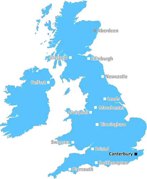
Canterbury (CT15)
The CT15 postcode area is located in the Canterbury postcode town region, within the county of Kent, and contains a total of 677 individual postcodes.
There are 83 electoral wards in the CT15 postcode area, including Birchington, Broadstairs, Canterbury, Deal, Dover, Folkestone, Herne Bay, Hythe, Margate, Ramsgate, Sandwich, Westgate-On-Sea, Whitstable which come under the local authority of the Dover Council.
Combining the whole postcode region, 21% of people in CT15 are classed as having an AB social grade, (i.e. 'white-collar' middle-upper class), compared to 27% across the UK.
This does not mean that the people of CT15 are poorer than other areas, but it may give an indication that there are areas of deprivation.
The CT15 postcode covers a total of five settlements in the Canterbury district, namely Dover, Martin Mill, Shepherdswell with Coldred, St Margaret's at Cliffe and Tilmanstone, all in the county of Kent in the south-east of England. Dover and its nearby settlements are often referred to collectively as the �Dover District'.
The port of Dover is the largest settlement in the CT15 postcode area. The nearby White Cliffs of Dover overlook the port and form one of the most iconic images of Britain. It is a major ferry terminal for boats making the journey across the English Channel between Dover and Calais, as well as a former castle and important military base. Dover translates as �the water' and lies at the meeting point of the River Dour and the English Channel.
Martin Mill is a small village located near to the Dover Downs Racetrack, and is home to the only surviving windmill in east Kent, Martin Mill Windmill. Shepherdswell with Coldred lies to the east of Dover and Dale Hill is to its west. It is a civil parish and boasts a range of local amenities, such as well regarded schools, pubs and a selection of independent shops.
St Margaret's at Cliffe is a coastal village situated east of Dover, close to the renowned White Cliffs. It is popular with visitors, particularly in the summer months, and is home to a number of attractions, such as the Silver Ball sculpture, public gardens, archaeological Interests and the local coastal golf course.
Tilmanstone is a rural village situated in the heart of east Kent, and is known for its clay brickworks which are believed to have operated since the 18th century. It is located in the valley of Eastry and lies on the old high road between Dover and Canterbury.
CT15 is a scenic and diverse postcode area composed of both rural, coastal farming and industrial areas. Its surroundings offer an unbeatable combination of natural beauty, history, outdoor activities and attractions. It sees an influx of visitors and immigrants from all over Europe each year and forms an important part of the Dover district's rich and vibrant culture.

Demographics

Kent

CT15 is located in the county of Kent, in England.
Kent has a total population of 1,820,400, making it the 6th largest county in the UK.
Kent has a total area of 1443 square miles, and a population density of 486 people per square kilometre. For comparison, Greater London has a density of 5,618 people/km2.
| Outward Code | CT15 |
| Postal Town | Canterbury |
| MSOA Name | Dover 008 |
| LSOA Name | Dover 008C |
| County | Kent |
| Region | Kent |
| Country | England |
| Local Authority | Dover |
| Area Classification | Urban with Significant Rural (rural including hub towns 26-49%) |
CT15 Electoral Wards
The postal region of CT15, includes the local towns, villages, electoral wards and stations of:
Dig even deeper into the CT15 postcode by clicking on a postcode below:
Click on an outward postal code below for more information about the area. Each 'outward' postcode give you a comprehensive list of all postcodes within the outward code area (CT) and estimated address.
Click on an 'outward' code for more information. For example, the outward postcode page 'EC2M' will give you an alphabetical list covering all postcodes located in the region, from 'EC2M 1BB' through to 'EC2M 7YA'.
Chris H
Thursday, April 11, 2024
We don't have any views of CT15 right now. If you live in CT15 or have visited it, please help us to help others by telling others what you think of this neighbourhood.
Add your view of CT15
People need your local expertise. If you live in CT15 or have first-hand knowledge of the neighbourhood, please consider sharing your views. It's completely anonymous - all we ask is for your initials.
Please tell us what you like about the CT15 postcode area, what you don't like, and what it's like to live or work here.
| LOCAL AMENITIES | |
| FAMILY FRIENDLY | |
| PARKING | |
| GREEN SPACES |
Local News Kent
Network Rail blames climate change for line closure
The line between Tonbridge and Redhill has been closed since the Easter weekend due to a landlsip.
BBC NewsAbri and Vistry partner to develop 1,500 homes in West Sussex
The 50/50 joint venture will develop the scheme on a former airfield site in Arundel.
Property WeekWindows smashed and mirrors ripped off carsin spateof vandalism
Car windows were smashed and wing mirrors ripped off after several vehicles were targeted by vandals.
Kent OnlineBus damaged in crash
A road was cordoned off and emergency services dashed to help after a bus crash.
Kent OnlineTeenagers arrested after high street brawl'
Three teenagers have been arrested following an alleged high street brawl.
Kent OnlineShoplifting charges fall in parts of South East
Recorded shoplifting offences grow by a third across Kent, Sussex and Surrey in five years.
BBC NewsMixed-use London freehold to lead Allsop's March residential auction
Thefreeholdbuilding in Hampstead is guided at 2.5m-plus.
Property WeekNew town council bid dismissed as talking shop for busybodies'
A campaign to set up a new town council has been defeated after it was slated by critics and was supported by just 700 people.
Kent OnlineFrom the Postcode Area blog

Deciphering Crime Rates - a Deep Dive Into UK Postcode Analysis
Ever wondered about the crime rate in your UK postcode? You're not alone. We've dug deep into the data, uncovering trends and patterns that'll make your head spin.

Death of the High Street?
The BBC reports that despite councils' attempts to kurb them, the UK's high streets have seen a huge growth in fast food outlets. Could this mark the death knell for the Great British high street, and what can we do about it to halt its decline?

Discrimination by Postcode
You really couldn't make it up, could you? Some of the country's most vulnerable people are missing out on their weekly £25 Cold Weather Payment, just because the system that's in operation is discriminating against them because payments are based on postcode, rather than geographic location.

The Redesign is Underway
Well, the current website was absolutely in dire need of a good redesign - from the ground up. So I set out to pull it all apart and get it up and running again to become the most comprehensive guide to every postcode in the UK. And it's been a long, tough job from start to finish - and quite possibly the biggest project I've ever undertaken.
SOCIAL GRADES
According to census records, 21% of people here have a social grade of AB (highest), compared to the national average of 27%.