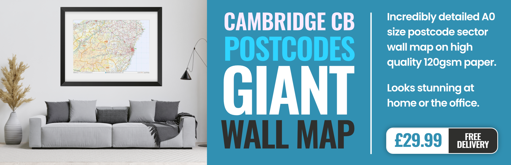
cambridge CB9 Postcodes
Spending a fortune on conveyancing?

Compare instant, low-cost online quotes from trusted conveyancing solicitors.
Backed by experts, our no-obligation service searches through the best conveyancing quotes on the market to save you time and money.
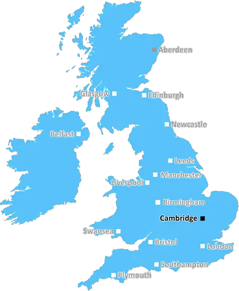
Cambridge (CB9)
The CB9 postcode area is located in the Cambridge postcode town region, within the county of Suffolk, and contains a total of 979 individual postcodes.
There are 40 electoral wards in the CB9 postcode area, including Cambridge, Ely, Haverhill, Newmarket, Saffron Walden which come under the local authority of the St Edmundsbury Council.
Combining the whole postcode region, 17% of people in CB9 are classed as having an AB social grade, (i.e. 'white-collar' middle-upper class), compared to 27% across the UK.
This does not mean that the people of CB9 are poorer than other areas, but it may give an indication that there are areas of deprivation.
CB9 is a postcode district located within the Cambridge post town in the Cambridgeshire county of England. The district is surrounded by other postcode areas including CB10, CB11, CB22, and NR19.
CB9 covers the towns of Haverhill, Castle Camps, and Kedington. Within the postcode district, there are nine postcode areas in total, CB9 0, CB9 1, CB9 5, CB9 6, CB9 7, CB9 8, CB9 9, CB22 4, and CB22 5.
Haverhill is the largest settlement within the postcode district, and is the principal settlement of West Suffolk, with a population of more than 24,000. It is located at the crossroads of the A140 and A143 roads, and has several educational institutions, including Haverhill Primary School, Samuel Ward Academy, and Castle Manor Academy.
Castle Camps is a village located within the postcode district, and is the second largest settlement in West Suffolk with a population of more than 4,000 people. The village is known for its working windmill, open air theatre, and historic buildings.
Kedington is a small village located within the postcode district, and is part of Suffolk County. The village has a population of approximately three hundred people, and is known for its All Saints' Church, which dates back to the 600s.
The postcode district has a range of amenities including several banks, supermarkets, pharmacies, takeaways, pubs, and churches. Education is provided by a selection of nurseries, schools, and colleges, all within driving distance of the postcode district. The district also has a few libraries and leisure centres.
In terms of transportation, the district is well connected by a network of roads from surrounding postcode districts, and by public transport, with both bus and train services running through the area. The nearest airport is Cambridge Airport, located approximately 15 miles away from the centre of CB9.
CB9 is a postcode district located in the Cambridge post town of Cambridgeshire. It contains the towns of Haverhill, Castle Camps, and Kedington, and boasts a range of amenities and transport links.

Demographics
Suffolk

CB9 is located in the county of Suffolk, in England.
Suffolk has a total population of 745,300, making it the 32nd largest county in the UK.
Suffolk has a total area of 1500 square miles, and a population density of 196 people per square kilometre. For comparison, Greater London has a density of 5,618 people/km2.
| Outward Code | CB9 |
| Postal Town | Cambridge |
| MSOA Name | St Edmundsbury 014 |
| LSOA Name | St Edmundsbury 014D |
| County | Suffolk |
| Region | Suffolk |
| Country | England |
| Local Authority | St Edmundsbury |
| Area Classification | Largely Rural (rural including hub towns 50-79%) |
CB9 Electoral Wards
The postal region of CB9, includes the local towns, villages, electoral wards and stations of:
Dig even deeper into the CB9 postcode by clicking on a postcode below:
Click on an outward postal code below for more information about the area. Each 'outward' postcode give you a comprehensive list of all postcodes within the outward code area (CB) and estimated address.
Click on an 'outward' code for more information. For example, the outward postcode page 'EC2M' will give you an alphabetical list covering all postcodes located in the region, from 'EC2M 1BB' through to 'EC2M 7YA'.
Chris H
Wednesday, April 10, 2024
We don't have any views of CB9 right now. If you live in CB9 or have visited it, please help us to help others by telling others what you think of this neighbourhood.
Add your view of CB9
People need your local expertise. If you live in CB9 or have first-hand knowledge of the neighbourhood, please consider sharing your views. It's completely anonymous - all we ask is for your initials.
Please tell us what you like about the CB9 postcode area, what you don't like, and what it's like to live or work here.
| LOCAL AMENITIES | |
| FAMILY FRIENDLY | |
| PARKING | |
| GREEN SPACES |
Local News Suffolk
Anglo-Saxon pottery found where homes will be built
"The discoveries made so far highlight the rich history of this area," says the housing developer.
BBC NewsBury archaeological dig uncovers Saxon artefacts
Louise Moan of Oxford Archaeology on some of the finds from their dig in Bury St Edmunds
BBC NewsDecision on 600m solar farm delayed a fourth time
The government pushes back a deadline on an energy firm's scheme that is opposed by Matt Hancock MP.
BBC NewsIpswich to review ticket policy after Norwich clash
The club denies suggestions 20% of tickets were given to staff but says it will review "processes".
BBC NewsLeaders Ipswich go 'head-on' in derby at Norwich
Championship leaders Ipswich travel to play-off chasing Norwich for the East Anglian derby, with both sides eyeing promotion.
BBC NewsSeven charged or cautioned after East Anglian derby
Charges include possessing pyrotechnics, throwing a missile and being drunk and disorderly.
BBC News'Strong possibility' of Clarke rematch - Wardley
British heavyweight champion Fabio Wardley says there is a "very strong possibility" of a hotly-anticipated rematch with Frazer Clarke.
BBC NewsNew urgent emergency centre to open this summer
It is hoped the new centre will ease the pressure on the hospital's A&E department.
BBC NewsFrom the Postcode Area blog

Deciphering Crime Rates - a Deep Dive Into UK Postcode Analysis
Ever wondered about the crime rate in your UK postcode? You're not alone. We've dug deep into the data, uncovering trends and patterns that'll make your head spin.

Death of the High Street?
The BBC reports that despite councils' attempts to kurb them, the UK's high streets have seen a huge growth in fast food outlets. Could this mark the death knell for the Great British high street, and what can we do about it to halt its decline?

Discrimination by Postcode
You really couldn't make it up, could you? Some of the country's most vulnerable people are missing out on their weekly £25 Cold Weather Payment, just because the system that's in operation is discriminating against them because payments are based on postcode, rather than geographic location.

The Redesign is Underway
Well, the current website was absolutely in dire need of a good redesign - from the ground up. So I set out to pull it all apart and get it up and running again to become the most comprehensive guide to every postcode in the UK. And it's been a long, tough job from start to finish - and quite possibly the biggest project I've ever undertaken.
SOCIAL GRADES
According to census records, 17% of people here have a social grade of AB (highest), compared to the national average of 27%.