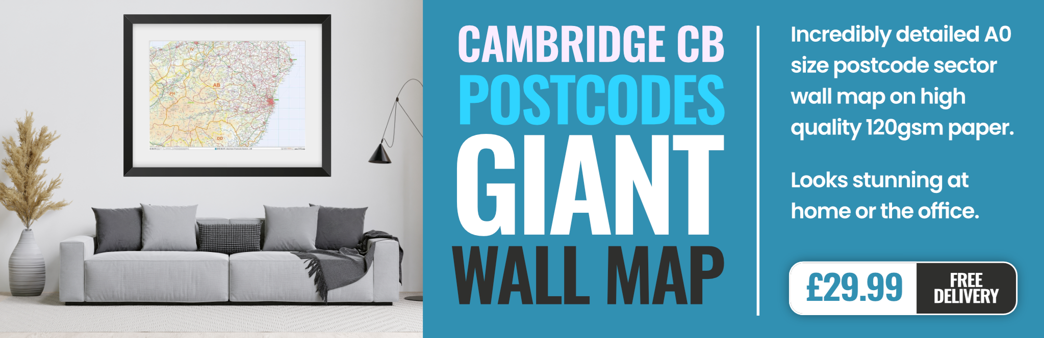
cambridge CB11 Postcodes
Spending a fortune on conveyancing?

Compare instant, low-cost online quotes from trusted conveyancing solicitors.
Backed by experts, our no-obligation service searches through the best conveyancing quotes on the market to save you time and money.
Cambridge (CB11)
The CB11 postcode area is located in the Cambridge postcode town region, within the county of Essex, and contains a total of 684 individual postcodes.
There are 65 electoral wards in the CB11 postcode area, including Cambridge, Ely, Haverhill, Newmarket, Saffron Walden which come under the local authority of the Uttlesford Council.
Combining the whole postcode region, 35% of people in CB11 are classed as having an AB social grade, (i.e. 'white-collar' middle-upper class), compared to 27% across the UK.
This does not mean that the people of CB11 are wealthier - or higher class - than average, but it can be an indication that the area may be prospering and desirable to live in.
The CB11 postcode covers all of the district of north west Cambridge, encompassing the villages of Duxford, Whittlesford, Ickleton, Thriplow, and Great and Little Shelford. Home to a large population of just over 17,000, its residents have easy access to both Cambridge city and the surrounding countryside with its historic towns and villages.
The area is well known for its family-friendly atmosphere and strong sense of community, with regular local events and attractions. Duxford Imperial War Museum is a particular highlight, featuring interactive displays and artefacts from aviation, maritime, and military history. Meanwhile, the wider area offers plenty of outdoor spaces for nature walks, including the River Cam and Wicken Fen National Nature Reserve.
The district is well connected for commuters, with regular buses and trains stopping at most of the villages and the Shelford railway station. There is also easy access to the M11 motorway and the A11 main road.
CB11 residents have plenty of shopping and leisure options on their doorstep, with several convenience stores, boutiques, coffee shops, and pubs. There are also larger retailers in the outskirts of Cambridge, with both The Grafton Centre and Beehive Centre providing a diverse selection of shops and eateries.
The area is highly regarded for its education system, with several schools rated outstanding by Ofsted, including Whittlesford Primary School and St John's Catholic Primary School. There is also a vast range of recreational activities, with Guildhall Faces and Oasis Sports Centre providing tennis courts and swimming pools.
All in all, CB11 provides an ideal blend of countryside living and urban conveniences, making it the perfect place for families or young professionals who are looking for a quiet and safe place to call home.

Demographics
Essex

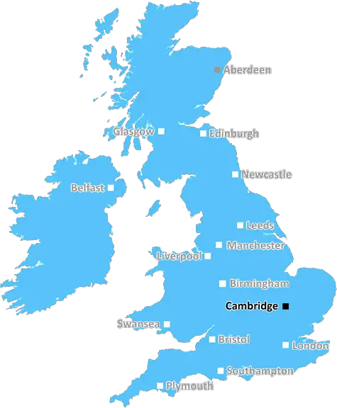
CB11 is located in the county of Essex, in England.
Essex has a total population of 1,802,200, making it the 7th largest county in the UK.
Essex has a total area of 1417 square miles, and a population density of 491 people per square kilometre. For comparison, Greater London has a density of 5,618 people/km2.
| Outward Code | CB11 |
| Postal Town | Cambridge |
| MSOA Name | Uttlesford 002 |
| LSOA Name | Uttlesford 002F |
| County | Essex |
| Region | Essex |
| Country | England |
| Local Authority | Uttlesford |
| Area Classification | Mainly Rural (rural including hub towns >=80%) |
CB11 Electoral Wards
The postal region of CB11, includes the local towns, villages, electoral wards and stations of:
Dig even deeper into the CB11 postcode by clicking on a postcode below:
Click on an outward postal code below for more information about the area. Each 'outward' postcode give you a comprehensive list of all postcodes within the outward code area (CB) and estimated address.
Click on an 'outward' code for more information. For example, the outward postcode page 'EC2M' will give you an alphabetical list covering all postcodes located in the region, from 'EC2M 1BB' through to 'EC2M 7YA'.
Chris H
Friday, May 10, 2024
We don't have any views of CB11 right now. If you live in CB11 or have visited it, please help us to help others by telling others what you think of this neighbourhood.
Add your view of CB11
People need your local expertise. If you live in CB11 or have first-hand knowledge of the neighbourhood, please consider sharing your views. It's completely anonymous - all we ask is for your initials.
Please tell us what you like about the CB11 postcode area, what you don't like, and what it's like to live or work here.
| LOCAL AMENITIES | |
| FAMILY FRIENDLY | |
| PARKING | |
| GREEN SPACES |
Local News Essex
Braintree: Essex Dementia Week receives art therapy books
AN ESSEX organisation is helping donate thousands of therapeutic books for an annual awareness week about dementia.
Daily GazetteColchester Hilly Fields patrols to tackle anti-social behaviour
This week, Essex Police's Rural Engagement Team conducted joint patrols of Hilly Fields with the Colchester Park Rangers.
Daily GazetteElbow at O2 Arena: Door times, support act and more
The band Elbow is heading to London's O2 Arena as part of their 'AUDIO VERTIGO' tour - check the door times, support act, tickets and more.
The EchoLondon Tube closures May 10-12: See the full list TfL
Check the London Underground, Overground and Elizabeth Line services for the upcoming weekend and don't be caught out by any changes.
The EchoDemolition work begins to build brand new 15m Harlow transport hub
The project costs around 15m and is being funded partly through Harlow's 23.7m Towns Fund investment from central Government
Essex LiveLocal election results in maps and charts
Analysis of results in the local elections 2024, including the London mayor and councils around England.
BBC NewsSix by Nico to open restaurant at Oxford's Westgate
Six by Nico is to let a 4,300 sq ft space in Oxford's Westgate shopping centre as it opens its 15th restaurant.
Property WeekBoxted's Battle of Britain Memorial Spitfire flypast to take place
BOXTED's Battle of Britain Memorial Flight Spitfire flypast will take place at about 13:15pm on Sunday May 26.
Daily GazetteFrom the Postcode Area blog

Deciphering Crime Rates - a Deep Dive Into UK Postcode Analysis
Ever wondered about the crime rate in your UK postcode? You're not alone. We've dug deep into the data, uncovering trends and patterns that'll make your head spin.

Death of the High Street?
The BBC reports that despite councils' attempts to kurb them, the UK's high streets have seen a huge growth in fast food outlets. Could this mark the death knell for the Great British high street, and what can we do about it to halt its decline?

Discrimination by Postcode
You really couldn't make it up, could you? Some of the country's most vulnerable people are missing out on their weekly £25 Cold Weather Payment, just because the system that's in operation is discriminating against them because payments are based on postcode, rather than geographic location.

The Redesign is Underway
Well, the current website was absolutely in dire need of a good redesign - from the ground up. So I set out to pull it all apart and get it up and running again to become the most comprehensive guide to every postcode in the UK. And it's been a long, tough job from start to finish - and quite possibly the biggest project I've ever undertaken.
SOCIAL GRADES
According to census records, 35% of people here have a social grade of AB (highest), compared to the national average of 27%.