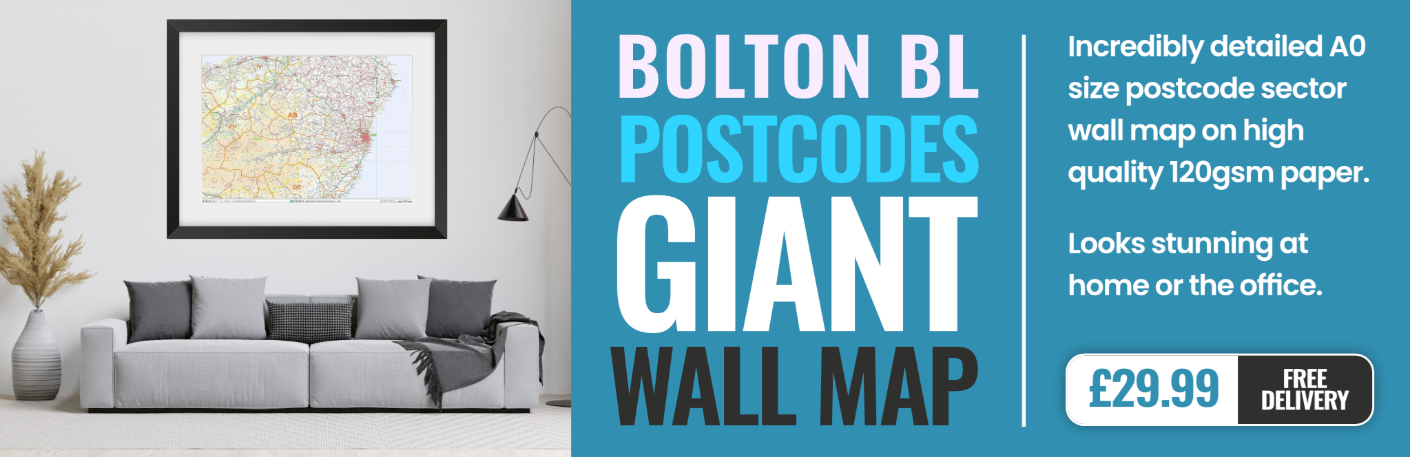
bolton BL9 Postcodes
Spending a fortune on conveyancing?

Compare instant, low-cost online quotes from trusted conveyancing solicitors.
Backed by experts, our no-obligation service searches through the best conveyancing quotes on the market to save you time and money.
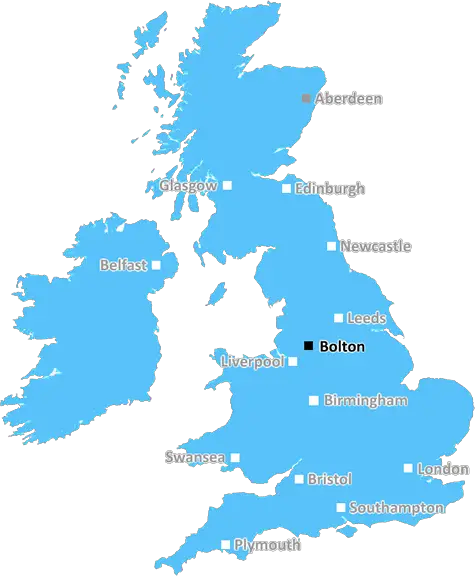
Bolton (BL9)
The BL9 postcode area is located in the Bolton postcode town region, within the county of Greater Manchester, and contains a total of 1744 individual postcodes.
There are 32 electoral wards in the BL9 postcode area, including Bolton, Bury which come under the local authority of the Bury Council.
Combining the whole postcode region, 19% of people in BL9 are classed as having an AB social grade, (i.e. 'white-collar' middle-upper class), compared to 27% across the UK.
This does not mean that the people of BL9 are poorer than other areas, but it may give an indication that there are areas of deprivation.
The BL9 postcode covers the areas of Farnworth, Stoneclough, Kearsley, and Great Lever in and around the town of Bolton, Greater Manchester, in North West England.
Farnworth is a well-established area with a good supply of local amenities including shops, schools, parks, and pubs. Farnworth is largely residential with pleasant Victorian terraces and a good range of housing estates such as Longwood, Worsley Mesnes, and Queens Park.
Stoneclough is an economically deprived area within Farnworth which contains most of the council estates in the BL9 Postcode District. Some of the development in Stoneclough is now quite aged and due to its poor housing stock and high unemployment rate, it is the most deprived area of the six Bolton wards within the BL9 postcode.
Kearsley is a large suburban village along the Irwell Valley with parks, woodlands, shopping, and health care facilities all contained within the postcode area. Evidence of Kearsley's long history and heritage is seen at the local primary school �Kearsley and Stoneclough Primary' and the nearby Kearsley Hill.
Great Lever runs alongside the River Croal through a stretch of open land and is known for its expansive greenery, riverside walks, and ease of access to the wider Bolton area. Many large new housing developments have been built in Great Lever over the last decade.
The BL9 postcode has access to a number of transport links including the M61 motorway, frequent bus services, and train services to Manchester via Bolton Interchange Station. It is also located close to Manchester-Bolton-Bury Canal, which provides easy links to surrounding areas.
In terms of education, BL9 has a number of primary schools and secondary schools including Kearsley Academy, Stoneclough Primary, Kearsley & Stoneclough Primary, Kearsley Academy, Bolton St. Catherine's Academy, and Bolton Sixth Form College.
The BL9 postcode area also has a range of leisure amenities for its residents to enjoy, such as parks, golf courses, and sports clubs including Kearsley Cricket & Bowling Club, Farnworth Leisure Centre, and Bolton Arena. There are several places of worship including St Margaret's Church, Farnworth Pentecostal Church, and the New Jerusalem Life Centre.
Residents of the BL9 postcode can also access a range of health services, from local GPs to specialist mental health services, at the GP Practice and Bolton Mental Health Unit. Shopping is also available at Kearsley Post Office, Farnworth Market, and the local Waitrose, Sainsbury's stores, ASDA and Tesco supermarkets.
As the towns and villages of BL9 continue to grow, so too does its transport and leisure infrastructure, meaning BL9 is a desirable place to live with plenty of opportunities for employment, leisure and recreation.

Demographics
Greater Manchester

BL9 is located in the county of Greater Manchester, in England.
Greater Manchester has a total population of 2,782,100, making it the 3rd largest county in the UK.
Greater Manchester has a total area of 492 square miles, and a population density of 2180 people per square kilometre. For comparison, Greater London has a density of 5,618 people/km2.
| Outward Code | BL9 |
| Postal Town | Bolton |
| MSOA Name | Bury 008 |
| LSOA Name | Bury 008E |
| County | Greater Manchester |
| Region | Greater Manchester |
| Country | England |
| Local Authority | Bury |
| Area Classification | Urban with Major Conurbation |
BL9 Electoral Wards
The postal region of BL9, includes the local towns, villages, electoral wards and stations of:
Dig even deeper into the BL9 postcode by clicking on a postcode below:
Click on an outward postal code below for more information about the area. Each 'outward' postcode give you a comprehensive list of all postcodes within the outward code area (BL) and estimated address.
Click on an 'outward' code for more information. For example, the outward postcode page 'EC2M' will give you an alphabetical list covering all postcodes located in the region, from 'EC2M 1BB' through to 'EC2M 7YA'.
Chris H
Sunday, April 7, 2024
We don't have any views of BL9 right now. If you live in BL9 or have visited it, please help us to help others by telling others what you think of this neighbourhood.
Add your view of BL9
People need your local expertise. If you live in BL9 or have first-hand knowledge of the neighbourhood, please consider sharing your views. It's completely anonymous - all we ask is for your initials.
Please tell us what you like about the BL9 postcode area, what you don't like, and what it's like to live or work here.
| LOCAL AMENITIES | |
| FAMILY FRIENDLY | |
| PARKING | |
| GREEN SPACES |
Local News Lancashire
Man 'put through hell' after losing home to DWP
George Henderson said he made an "honest mistake" in claiming too much Carer's Allowance.
BBC NewsCampaigners call for cemetery to be protected
They are urging a bishop to keep the site as a cemetery and stop it being redeveloped.
BBC NewsPolice officer hit by stolen car in hit-and-run
The officer was conducting investigations into the theft when he was hit by the car, police say.
BBC NewsTeen arrested after officer hit by car
A 16-year-old boy is held on suspicion of aggravated vehicle taking, assault and dangerous driving.
BBC NewsCan Surrey be beaten as County Championship returns?
With the new County Championship season starting on Friday, can anyone prevent Surrey winning a third straight title?
BBC NewsDay one of County Championship season hit by rain
Day one of the County Championship season sees play abandoned at Derbyshire, Durham, Lancashire and Kent without a ball bowled.
BBC NewsReform UK drops candidates over 'racist comments'
Campaign group Hope Not Hate claims it found historical derogatory tweets made two Reform candidates.
BBC NewsStansfield hits winner as Birmingham beat Preston
Jay Stansfield's 68th-minute winner beats promotion-chasing Preston to earn Gary Rowett's first win back as Birmingham City boss.
BBC NewsFrom the Postcode Area blog

Deciphering Crime Rates - a Deep Dive Into UK Postcode Analysis
Ever wondered about the crime rate in your UK postcode? You're not alone. We've dug deep into the data, uncovering trends and patterns that'll make your head spin.

Death of the High Street?
The BBC reports that despite councils' attempts to kurb them, the UK's high streets have seen a huge growth in fast food outlets. Could this mark the death knell for the Great British high street, and what can we do about it to halt its decline?

Discrimination by Postcode
You really couldn't make it up, could you? Some of the country's most vulnerable people are missing out on their weekly £25 Cold Weather Payment, just because the system that's in operation is discriminating against them because payments are based on postcode, rather than geographic location.

The Redesign is Underway
Well, the current website was absolutely in dire need of a good redesign - from the ground up. So I set out to pull it all apart and get it up and running again to become the most comprehensive guide to every postcode in the UK. And it's been a long, tough job from start to finish - and quite possibly the biggest project I've ever undertaken.
SOCIAL GRADES
According to census records, 19% of people here have a social grade of AB (highest), compared to the national average of 27%.