brighton BN25 Postcodes
Spending a fortune on conveyancing?

Compare instant, low-cost online quotes from trusted conveyancing solicitors.
Backed by experts, our no-obligation service searches through the best conveyancing quotes on the market to save you time and money.
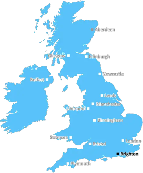
Brighton (BN25)
The BN25 postcode area is located in the Brighton postcode town region, within the county of East Sussex, and contains a total of 1122 individual postcodes.
There are 15 electoral wards in the BN25 postcode area, including Arundel, Brighton, Eastbourne, Hailsham, Hassocks, Henfield, Hove, Lancing, Lewes, Littlehampton, Newhaven, Peacehaven, Pevensey, Polegate, Seaford, Shoreham-By-Sea, Steyning, Worthing which come under the local authority of the Lewes Council.
Combining the whole postcode region, 25% of people in BN25 are classed as having an AB social grade, (i.e. 'white-collar' middle-upper class), compared to 27% across the UK.
This does not mean that the people of BN25 are poorer than other areas, but it may give an indication that there are areas of deprivation.
The BN25 postcode covers a large area in the district of Brighton in East Sussex, England. The postcode is split into the three main areas of Seaford, East Dean and Friston.
Seaford is a picturesque coastal town situated in a beautiful setting between Brighto�s busy city centre and the rolling hills of the Sussex countryside. The town has several beaches, including a 1.5 mile promenade along the seafront. Local amenities, tourist attractions and popular shopping areas include Martello Tower, the Seaford Museum, Martello Tower golf course, Seaford Head, the South Downs National Park and the famous Seven Sister's Cliffs.
East Dean is a charming and traditional village located at the bottom of a steep hill, boasting beautiful views of the countryside. Local attractions include East Dean Golf Club, East Dean Grange Country Park and the beach at Eastbourne. The quaint village centre is home to a variety of shops, cafes, pubs and restaurants.
Friston is a small village situated on the edge of the South Downs National Park and consists of several small cottages nestled amongst rolling woodland. Attractions in the area include Friston Forest and Filching Manor Motor Museum & Secret War Museum. The area also boasts a thriving local pub and restaurant scene as well as a handful of shops.
The BN25 postcode covers a range of different landscapes and climates, from the vibrant coastal town of Seaford to the quiet village of Friston. The area has a long history dating back to the time of the Anglo Saxons and has become a popular destination for tourists due to its stunning beaches, rural scenery and impressive attractions.

Demographics

East Sussex

BN25 is located in the county of East Sussex, in England.
East Sussex has a total population of 837,000, making it the 29th largest county in the UK.
East Sussex has a total area of 692 square miles, and a population density of 467 people per square kilometre. For comparison, Greater London has a density of 5,618 people/km2.
| Outward Code | BN25 |
| Postal Town | Brighton |
| MSOA Name | Lewes 013 |
| LSOA Name | Lewes 013C |
| County | East Sussex |
| Region | East Sussex |
| Country | England |
| Local Authority | Lewes |
| Area Classification | Urban with Significant Rural (rural including hub towns 26-49%) |
BN25 Electoral Wards
The postal region of BN25, includes the local towns, villages, electoral wards and stations of:
Dig even deeper into the BN25 postcode by clicking on a postcode below:
Click on an outward postal code below for more information about the area. Each 'outward' postcode give you a comprehensive list of all postcodes within the outward code area (BN) and estimated address.
Click on an 'outward' code for more information. For example, the outward postcode page 'EC2M' will give you an alphabetical list covering all postcodes located in the region, from 'EC2M 1BB' through to 'EC2M 7YA'.
Chris H
Tuesday, April 9, 2024
We don't have any views of BN25 right now. If you live in BN25 or have visited it, please help us to help others by telling others what you think of this neighbourhood.
Add your view of BN25
People need your local expertise. If you live in BN25 or have first-hand knowledge of the neighbourhood, please consider sharing your views. It's completely anonymous - all we ask is for your initials.
Please tell us what you like about the BN25 postcode area, what you don't like, and what it's like to live or work here.
| LOCAL AMENITIES | |
| FAMILY FRIENDLY | |
| PARKING | |
| GREEN SPACES |
Local News Sussex
Charity making memories for sick children on stage
Forward Facing organises an event at Brighton Dome for children with life-limiting conditions.
BBC NewsHardest Geezer eyes next challenge after Africa run
Russ Cook says it is "hard to contemplate the whole thing" after completing the mammoth challenge.
BBC NewsSexual harassment of NHS staff widespread - survey
A study was carried out of more than 12,200 health workers.
BBC News'Hardest Geezer' Cook completes run across Africa
Almost one year after starting, Russ Cook - more widely known as the Hardest Geezer - completes his challenge to run the length of Africa.
BBC NewsPolice officer denies hotel room sex attack
Sussex PC Daniel Julian is on trial accused of trying to rape female police officer in a hotel room.
BBC NewsViews on autism services sought by county council
The authority is creating a plan to improve services and opportunities for people with autism.
BBC NewsNorthants hang on to deny Sussex an opening win
Northamptonshire, and bad light, deny Sussex an opening County Championship Division Two victory at Hove.
BBC NewsFormer Brighton player Kinnear dies aged 77
Former Wimbledon and Newcastle United manager Joe Kinnear dies at the age of 77, his family announces.
BBC NewsFrom the Postcode Area blog

Deciphering Crime Rates - a Deep Dive Into UK Postcode Analysis
Ever wondered about the crime rate in your UK postcode? You're not alone. We've dug deep into the data, uncovering trends and patterns that'll make your head spin.

Death of the High Street?
The BBC reports that despite councils' attempts to kurb them, the UK's high streets have seen a huge growth in fast food outlets. Could this mark the death knell for the Great British high street, and what can we do about it to halt its decline?

Discrimination by Postcode
You really couldn't make it up, could you? Some of the country's most vulnerable people are missing out on their weekly £25 Cold Weather Payment, just because the system that's in operation is discriminating against them because payments are based on postcode, rather than geographic location.

The Redesign is Underway
Well, the current website was absolutely in dire need of a good redesign - from the ground up. So I set out to pull it all apart and get it up and running again to become the most comprehensive guide to every postcode in the UK. And it's been a long, tough job from start to finish - and quite possibly the biggest project I've ever undertaken.
SOCIAL GRADES
According to census records, 25% of people here have a social grade of AB (highest), compared to the national average of 27%.