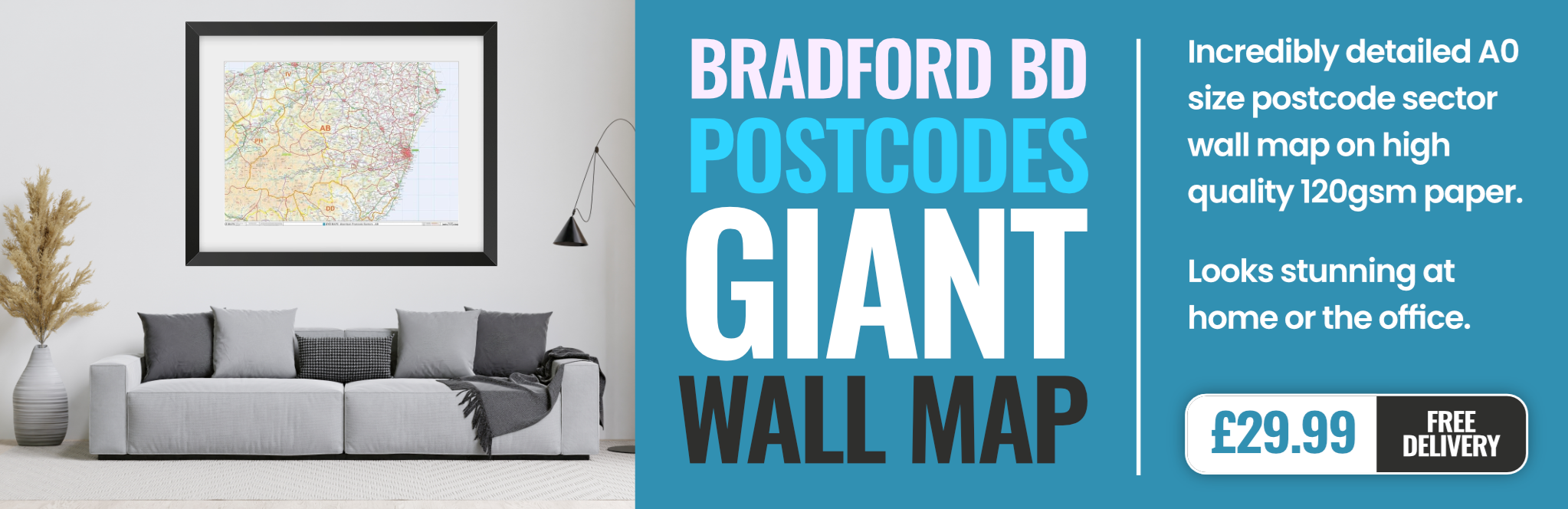
bradford BD20 Postcodes
Spending a fortune on conveyancing?

Compare instant, low-cost online quotes from trusted conveyancing solicitors.
Backed by experts, our no-obligation service searches through the best conveyancing quotes on the market to save you time and money.
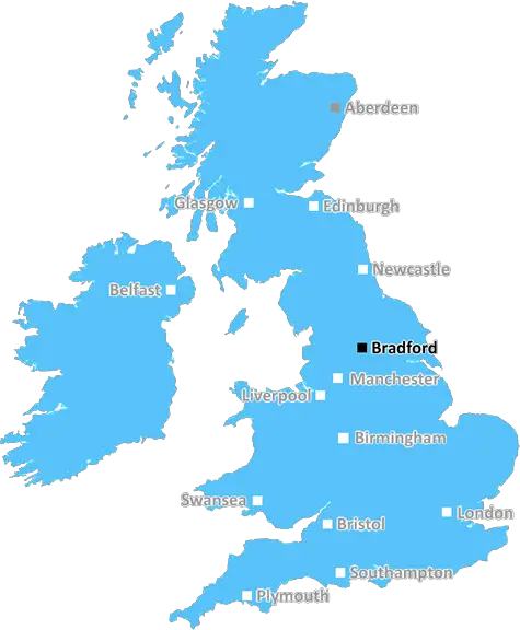
Bradford (BD20)
The BD20 postcode area is located in the Bradford postcode town region, within the county of West Yorkshire, and contains a total of 1526 individual postcodes.
There are 47 electoral wards in the BD20 postcode area, including Bingley, Bradford, Cleckheaton, Keighley, Settle, Shipley, Skipton which come under the local authority of the Bradford Council.
Combining the whole postcode region, 22% of people in BD20 are classed as having an AB social grade, (i.e. 'white-collar' middle-upper class), compared to 27% across the UK.
This does not mean that the people of BD20 are poorer than other areas, but it may give an indication that there are areas of deprivation.
BD20 is a postcode district located in the Bradford district of West Yorkshire, United Kingdom. It covers several smaller towns, such as Allerton, Denholme, Howarth, Haworth, Harden, Harden, Wilsden and Cullingworth.
The area is mainly rural, with the main population residing in Allerton, Denholme, Haworth and Wilsden. Allerton is the largest settlement with its own railway station. Denholme is a small village located just outside of the district. Howarth is a small village situated 0.7 miles from Allerton and is home to the Dame Mary Farrar Primary School.
Haworth is one of the most popular towns of the BD20 district, with many tourists coming here to visit the Bronte Parsonage Museum. It is home to the Monastery of St Mary the Virgin, which was founded in 1838 and is now a grade 2 listed building. Haworth's cobbled high street is the highlight of this town.
Harden is just south of Haworth and is a small village. It has two primary schools and a post office, as well as many local businesses, such as pubs and cafes. The A629 road runs through Harden, linking it to other towns in the district.
Wilsden is a small village near Harden with a population of approximately 2000. It is mainly residential and is home to several small businesses, such as a post office, a bakery and various shops.
Cullingworth is a small village near Wilsden and is known for its attractive scenery. It has a primary school, a village hall, a post office and a local pub. In addition, there are many local walks and views of the Bronte countryside.
Finally, there is Bingley, which is the most western part of the district, and is known for its canals and towpaths. It has a population of approximately 12,000, and contains a number of schools, a library, a swimming pool, a park and many shops. It also has excellent transport links to neighbouring towns and cities.

Demographics
West Yorkshire

BD20 is located in the county of West Yorkshire, in England.
West Yorkshire has a total population of 2,299,700, making it the 4th largest county in the UK.
West Yorkshire has a total area of 783 square miles, and a population density of 1133 people per square kilometre. For comparison, Greater London has a density of 5,618 people/km2.
| Outward Code | BD20 |
| Postal Town | Bradford |
| MSOA Name | Bradford 004 |
| LSOA Name | Bradford 004C |
| County | West Yorkshire |
| Region | West Yorkshire |
| Country | England |
| Local Authority | Bradford |
| Area Classification | Urban with Major Conurbation |
BD20 Electoral Wards
The postal region of BD20, includes the local towns, villages, electoral wards and stations of:
Dig even deeper into the BD20 postcode by clicking on a postcode below:
Click on an outward postal code below for more information about the area. Each 'outward' postcode give you a comprehensive list of all postcodes within the outward code area (BD) and estimated address.
Click on an 'outward' code for more information. For example, the outward postcode page 'EC2M' will give you an alphabetical list covering all postcodes located in the region, from 'EC2M 1BB' through to 'EC2M 7YA'.
RT, Bradford
Saturday, December 11, 2021
It is important to note part of BD20 is NOT in West Yorkshire but North Yorkshire, we are only under Keighley as the postal town (and hence Bradford). This part is Crosshills, Sutton-in-Craven, Lothersdale, Cononley. Quite distinct from Keighley area where much of BD20 is placed. A very pleasant place with good rail connections at Cononley to Leeds and Bradford.
DE, bradford
Wednesday, March 20, 2019
Quiet part of Silsden. Set off the main road through. Crime has increased in last 15 - 20 years and alot of new housing has been built in the area. Parking on the street can be difficult at times.
Add your view of BD20
People need your local expertise. If you live in BD20 or have first-hand knowledge of the neighbourhood, please consider sharing your views. It's completely anonymous - all we ask is for your initials.
Please tell us what you like about the BD20 postcode area, what you don't like, and what it's like to live or work here.
| LOCAL AMENITIES | |
| FAMILY FRIENDLY | |
| PARKING | |
| GREEN SPACES |
Local News West Yorkshire
Wakefield council tax rise agreed amid angry scenes at meeting
A Wakefield Council budget meeting is adjourned after a heated debate over spending cuts.
BBC NewsCoventry City 2-1 Leeds United: Sky Blues stay in play-off hunt as Leeds miss chance to go top
Coventry City stay in the mix for a Championship play-off spot with victory over Leeds United, who miss the chance to go top.
BBC NewsLeeds United fan injured during FA Cup tie at Chelsea
A Leeds United supporter is "in the hands of the emergency services" after appearing to fall from the stand in their FA Cup tie at Chelsea.
BBC NewsFebruary 29: 'Leaplings' finally get to celebrate their birthdays
Three people in Yorkshire born on 29 February can only mark their "real" birthdays every four years.
BBC News1970 FA Cup final: The most brutal game in English football history
As Chelsea get set to face Leeds in the FA Cup fifth round, BBC Sport looks back at the notoriously ferocious 1970 FA Cup final replay between the two sides.
BBC NewsSuper League: Hull FC 22-56 Huddersfield Giants - Adam Swift hat-trick sparks rout
Adam Swift's hat-trick sets Huddersfield on the way to another big win over Hull FC, this time in Super League.
BBC NewsHorbury: Plans to convert WW2 gas site into caf rejected
Objectors say the project would "fail to preserve the special historic interest" of the structure.
BBC NewsMurder victim told police she feared ex-partner would kill her
Katie Higton warned officers of threats from Marcus Osborne, a timeline obtained by the BBC reveals.
BBC NewsFrom the Postcode Area blog

Deciphering Crime Rates - a Deep Dive Into UK Postcode Analysis
Ever wondered about the crime rate in your UK postcode? You're not alone. We've dug deep into the data, uncovering trends and patterns that'll make your head spin.

Death of the High Street?
The BBC reports that despite councils' attempts to kurb them, the UK's high streets have seen a huge growth in fast food outlets. Could this mark the death knell for the Great British high street, and what can we do about it to halt its decline?

Discrimination by Postcode
You really couldn't make it up, could you? Some of the country's most vulnerable people are missing out on their weekly £25 Cold Weather Payment, just because the system that's in operation is discriminating against them because payments are based on postcode, rather than geographic location.

The Redesign is Underway
Well, the current website was absolutely in dire need of a good redesign - from the ground up. So I set out to pull it all apart and get it up and running again to become the most comprehensive guide to every postcode in the UK. And it's been a long, tough job from start to finish - and quite possibly the biggest project I've ever undertaken.
SOCIAL GRADES
According to census records, 22% of people here have a social grade of AB (highest), compared to the national average of 27%.