oxford OX15 Postcodes
Spending a fortune on conveyancing?

Compare instant, low-cost online quotes from trusted conveyancing solicitors.
Backed by experts, our no-obligation service searches through the best conveyancing quotes on the market to save you time and money.
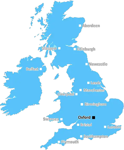
Oxford (OX15)
The OX15 postcode area is located in the Oxford postcode town region, within the county of Oxfordshire, and contains a total of 964 individual postcodes.
There are 85 electoral wards in the OX15 postcode area, including Abingdon, Bampton, Banbury, Bicester, Burford, Carterton, Chinnor, Chipping Norton, Didcot, Kidlington, Oxford, Thame, Wallingford, Wantage, Watlington, Witney, Woodstock which come under the local authority of the Cherwell Council.
Combining the whole postcode region, 36% of people in OX15 are classed as having an AB social grade, (i.e. 'white-collar' middle-upper class), compared to 27% across the UK.
This does not mean that the people of OX15 are wealthier - or higher class - than average, but it can be an indication that the area may be prospering and desirable to live in.
The OX15 postcode covers approximately 14.5 square miles and is a rural area in North Oxfordshire, located within driving distance of Milton Keynes, Oxford, and the Cotswolds. Home to approximately 11,800 people, the OX15 postcode area is crossed by the A361, with major settlements including South Newington, Swalcliffe, and Wigginton.
Within the OX15 postcode are a range of economic activities sustained by business, industry, agriculture and the visitor economy. The town of Banbury is a 6 mile drive away, providing a host of services and amenities to the area. Tranport networks link the area to neighbouring cities and rural towns that are also served by a good network of public transport.
The area is well serviced by leisure facilities and public houses, with a number of public parks, gardens, wedding venues and historic sites. Popular attractions include the award winning Sulgrave Manor, Sulgrave Castle, and Towcester Racecourse. For outdoor activities, there are many walks along the Cherwell Way, and a variety of cycle paths throughout the area.
The OX15 postcode benefits from a number of educational facilities, such as the Banbury and Bicester College, a range of primary and secondary schools, as well as special educational facilities in neighbouring regions.
For healthcare, the area is served by the Horton General Hospital, as well as a range of GP practices and dentists in the vicinity. Large employers in the area include the Royal Mail, MBDA UK & OXIS Energy, and Manor Waste Management. For retail, there is a large shopping area in Banbury, and a range of local markets and independent shops in the district.
In recent times, the area has seen industrial growth in sectors ranging from waste management to media, as well as new businesses being set up in the area. TheOX15 postcode provides a broad range of activities within a rural landscape and has proved an attractive area for people to live, work and explore.

Demographics

Oxfordshire

OX15 is located in the county of Oxfordshire, in England.
Oxfordshire has a total population of 683,200, making it the 35th largest county in the UK.
Oxfordshire has a total area of 1005 square miles, and a population density of 262 people per square kilometre. For comparison, Greater London has a density of 5,618 people/km2.
| Outward Code | OX15 |
| Postal Town | Oxford |
| MSOA Name | Cherwell 010 |
| LSOA Name | Cherwell 010B |
| County | Oxfordshire |
| Region | Oxfordshire |
| Country | England |
| Local Authority | Cherwell |
| Area Classification | Urban with Significant Rural (rural including hub towns 26-49%) |
OX15 Electoral Wards
The postal region of OX15, includes the local towns, villages, electoral wards and stations of:
Dig even deeper into the OX15 postcode by clicking on a postcode below:
Click on an outward postal code below for more information about the area. Each 'outward' postcode give you a comprehensive list of all postcodes within the outward code area (OX) and estimated address.
Click on an 'outward' code for more information. For example, the outward postcode page 'EC2M' will give you an alphabetical list covering all postcodes located in the region, from 'EC2M 1BB' through to 'EC2M 7YA'.
Chris H
Sunday, April 7, 2024
We don't have any views of OX15 right now. If you live in OX15 or have visited it, please help us to help others by telling others what you think of this neighbourhood.
Add your view of OX15
People need your local expertise. If you live in OX15 or have first-hand knowledge of the neighbourhood, please consider sharing your views. It's completely anonymous - all we ask is for your initials.
Please tell us what you like about the OX15 postcode area, what you don't like, and what it's like to live or work here.
| LOCAL AMENITIES | |
| FAMILY FRIENDLY | |
| PARKING | |
| GREEN SPACES |
Local News Oxfordshire
Oxford United 4-0 Fleetwood Town
Mark Harris scores twice as Oxford rekindle their push for a League One play-off place with a 4-0 victory over struggling Fleetwood Town.
BBC NewsTrain strikes: How will you be affected?
Rail workers at 16 companies are taking industrial action but tube strikes have been called off.
BBC NewsMilton Keynes seeks developer for 174-home scheme
The Milton Keynes site occupies 15.6 acres of land with an additional 7.2 acres of green space.
Property WeekEdmond de Rothschild REIM acquires Newbury resi scheme for 34m
The affordable housing project has already seen the development of almost 120 new homes.
Property WeekHomes England acquires Worthing site to deliver 250 homes
The acquisition forms part of the body's plans to regenerate challenging brownfield areas.
Property WeekOxfam: Working safely 'next to impossible' in Gaza
The charity says its staff have still found ways to deliver aid "despite all the complexities".
BBC NewsFirst-time buyers account for record third of all housing sales
Hamptons' research also showsthe most popular area to a buy home for first-time buyers is Slough.
Property WeekAbri and Vistry partner to develop 1,500 homes in West Sussex
The 50/50 joint venture will develop the scheme on a former airfield site in Arundel.
Property WeekFrom the Postcode Area blog

Deciphering Crime Rates - a Deep Dive Into UK Postcode Analysis
Ever wondered about the crime rate in your UK postcode? You're not alone. We've dug deep into the data, uncovering trends and patterns that'll make your head spin.

Death of the High Street?
The BBC reports that despite councils' attempts to kurb them, the UK's high streets have seen a huge growth in fast food outlets. Could this mark the death knell for the Great British high street, and what can we do about it to halt its decline?

Discrimination by Postcode
You really couldn't make it up, could you? Some of the country's most vulnerable people are missing out on their weekly £25 Cold Weather Payment, just because the system that's in operation is discriminating against them because payments are based on postcode, rather than geographic location.

The Redesign is Underway
Well, the current website was absolutely in dire need of a good redesign - from the ground up. So I set out to pull it all apart and get it up and running again to become the most comprehensive guide to every postcode in the UK. And it's been a long, tough job from start to finish - and quite possibly the biggest project I've ever undertaken.
SOCIAL GRADES
According to census records, 36% of people here have a social grade of AB (highest), compared to the national average of 27%.