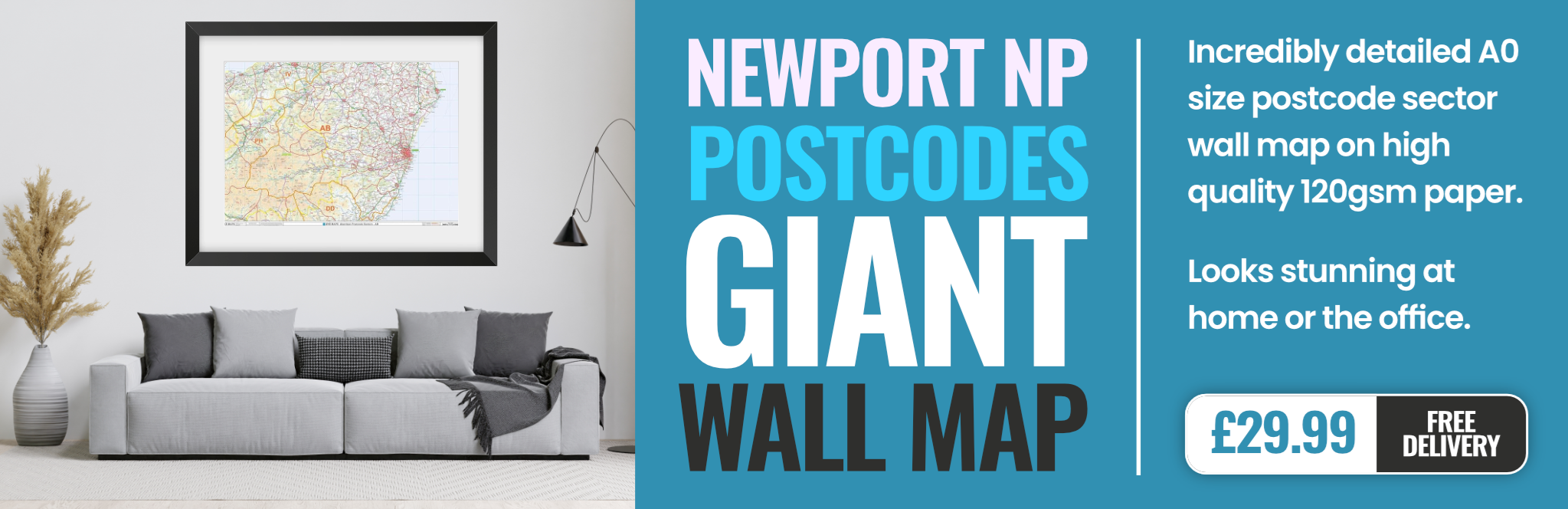
newport NP7 Postcodes
Spending a fortune on conveyancing?

Compare instant, low-cost online quotes from trusted conveyancing solicitors.
Backed by experts, our no-obligation service searches through the best conveyancing quotes on the market to save you time and money.
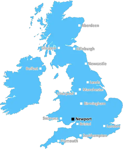
Newport (NP7)
The NP7 postcode area is located in the Newport postcode town region, within the county of Monmouthshire, and contains a total of 1236 individual postcodes.
There are 151 electoral wards in the NP7 postcode area, including Abergavenny, Abertillery, Blackwood, Caldicot, Chepstow, Crickhowell, Cwmbran, Ebbw Vale, Monmouth, New Tredegar, Newport, Pontypool, Tredegar, Usk which come under the local authority of the Monmouthshire Council.
Combining the whole postcode region, 28% of people in NP7 are classed as having an AB social grade, (i.e. 'white-collar' middle-upper class), compared to 27% across the UK.
This does not mean that the people of NP7 are wealthier - or higher class - than average, but it can be an indication that the area may be prospering and desirable to live in.
NP7 postcode is located in the Newport district of Wales, UK. It covers an area of approximately 39 square miles, with a population of around 31,000 people.
NP7 is situated on the north western periphery of the county, and is bounded to the north by the Brecon Beacons National Park, to the south-east by the Heads of the Valleys area, to the east by the Wye Valley and to the south-west by the south Wales coast.
The main towns in the area include Abergavenny, Merthyr Tydfil, Crickhowell, Risca, Pontypool and Blackwood. All of these are small market towns, with Abergavenny and Crickhowell providing the main shopping and leisure amenities.
Within NP7 there are a range of countryside and leisure activities. The Brecon Beacons National Park is the largest national park in Wales and is renowned for its dramatic mountain scenery and outdoor activities. The Wye Valley area of Outstanding Natural Beauty provides opportunities for walking, canoeing, cycling and horse riding.
In terms of further education, NP7 is home to Gwent Regional College, Tresham College and Abergavenny College of Further Education. There are also a range of primary and secondary schools in the area.
NP7 has excellent transport links. The M4 motorway connects the area to the cities of Cardiff and Swansea, while a number of railway lines pass through the area. Cardiff International Airport is also within easy reach.
The culture of NP7 is quite varied. There is a strong Welsh influence, with the language spoken widely in the area, and there are a number of Welsh festivals held throughout the year. There are a number of historic sites located in the area, including Castles and churches built by the Normans.
NP7 also has an active arts culture, with a number of galleries, theatres and studios. The area is home to a number of author events, as well as the Eisteddfod, a revival of the traditional Welsh cultural festival.

Demographics
Monmouthshire

NP7 is located in the county of Monmouthshire, in Wales.
Monmouthshire has a total population of 92,800, making it the 17th largest county in the UK.
Monmouthshire has a total area of 330 square miles, and a population density of 109 people per square kilometre. For comparison, Greater London has a density of 5,618 people/km2.
| Outward Code | NP7 |
| Postal Town | Newport |
| MSOA Name | Monmouthshire 003 |
| LSOA Name | Monmouthshire 003A |
| County | Monmouthshire |
| Region | Monmouthshire |
| Country | Wales |
| Local Authority | Monmouthshire |
| Area Classification | Unclassified |
NP7 Electoral Wards
The postal region of NP7, includes the local towns, villages, electoral wards and stations of:
Dig even deeper into the NP7 postcode by clicking on a postcode below:
Click on an outward postal code below for more information about the area. Each 'outward' postcode give you a comprehensive list of all postcodes within the outward code area (NP) and estimated address.
Click on an 'outward' code for more information. For example, the outward postcode page 'EC2M' will give you an alphabetical list covering all postcodes located in the region, from 'EC2M 1BB' through to 'EC2M 7YA'.
Chris H
Sunday, April 7, 2024
We don't have any views of NP7 right now. If you live in NP7 or have visited it, please help us to help others by telling others what you think of this neighbourhood.
Add your view of NP7
People need your local expertise. If you live in NP7 or have first-hand knowledge of the neighbourhood, please consider sharing your views. It's completely anonymous - all we ask is for your initials.
Please tell us what you like about the NP7 postcode area, what you don't like, and what it's like to live or work here.
| LOCAL AMENITIES | |
| FAMILY FRIENDLY | |
| PARKING | |
| GREEN SPACES |
From the Postcode Area blog

Deciphering Crime Rates - a Deep Dive Into UK Postcode Analysis
Ever wondered about the crime rate in your UK postcode? You're not alone. We've dug deep into the data, uncovering trends and patterns that'll make your head spin.

Death of the High Street?
The BBC reports that despite councils' attempts to kurb them, the UK's high streets have seen a huge growth in fast food outlets. Could this mark the death knell for the Great British high street, and what can we do about it to halt its decline?

Discrimination by Postcode
You really couldn't make it up, could you? Some of the country's most vulnerable people are missing out on their weekly £25 Cold Weather Payment, just because the system that's in operation is discriminating against them because payments are based on postcode, rather than geographic location.

The Redesign is Underway
Well, the current website was absolutely in dire need of a good redesign - from the ground up. So I set out to pull it all apart and get it up and running again to become the most comprehensive guide to every postcode in the UK. And it's been a long, tough job from start to finish - and quite possibly the biggest project I've ever undertaken.
SOCIAL GRADES
According to census records, 28% of people here have a social grade of AB (highest), compared to the national average of 27%.