aberdeen AB15 Postcodes
Spending a fortune on conveyancing?

Compare instant, low-cost online quotes from trusted conveyancing solicitors.
Backed by experts, our no-obligation service searches through the best conveyancing quotes on the market to save you time and money.
Aberdeen (AB15)
The AB15 postcode area is located in the Aberdeen postcode town region, within the county of Aberdeenshire, and contains a total of 1198 individual postcodes.
There are 36 electoral wards in the AB15 postcode area, including Aberdeen, Aberlour, Aboyne, Alford, Ballater, Ballindalloch, Banchory, Banff, Buckie, Ellon, Fraserburgh, Huntly, Insch, Inverurie, Keith, Laurencekirk, Macduff, Milltimber, Peterculter, Peterhead, Stonehaven, Strathdon, Turriff, Westhill which come under the local authority of the Aberdeen City Council.
Combining the whole postcode region, 0% of people in AB15 are classed as having an AB social grade, (i.e. 'white-collar' middle-upper class), compared to 27% across the UK.
This does not mean that the people of AB15 are poorer than other areas, but it may give an indication that there are areas of deprivation.
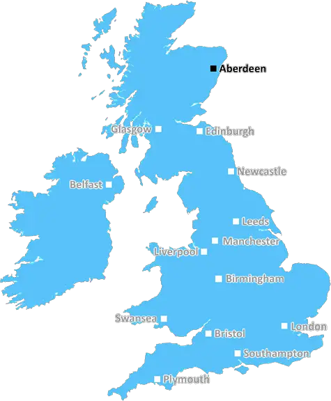
AB15 is a postcode in the Scottish city of Aberdeen. It is part of the Aberdeen City Council administrative area and covers the Bridge of Don, Dyce, Kincorth, Sheddocksley, Sumburgh and Woodside areas of Aberdeen. It covers a population of approximately 28,000 people and has around 12,500 homes.
The AB15 postcode is considered to be a fairly affluent area, with higher-than-average home prices, in part due to its proximity to Aberdeen International Airport and Aberdeen City Centre. The area has a range of residential and commercial buildings, covering large detached properties to modern apartments andcommercial units.
The postcode is well served, with a range of local shopping and leisure facilities, including the Kingswells Retail Park, Bridge of Don Retail Park, Dyce Retail Park and the local Morrisons and Tesco stores. The area is also home to several schools, from early years to high school, with Bridge of Don Academy and Dyce Academy being among the most well-known.
The AB15 postcode is served by excellent transport links, including two regular bus services � the First and Stagecoach networks � and Aberdeen railway, which traverses the length of the postcode. The area is within easy reach of the city centre, with a journey time of around 20 minutes.
The postcode is also well known for its connection with the oil and gas industry. It is home to Aberdeen International Airport, which is a major hub for zero-emission air travel, and several major oil and gas companies have offices in the area.
Meanwhile, Dyce and Sumburgh are well known for the excellent beach and coastal walks available in the area, offering stunning views of the North Sea and cityscape. A popular walk is along the River Dee, ideal for wildlife spotting and leisurely strolls.

Demographics
Aberdeenshire

AB15 is located in the county of Aberdeenshire, in Scotland.
Aberdeenshire has a total population of 0, making it the largest county in the UK.
Aberdeenshire has a total area of square miles, and a population density of people per square kilometre. For comparison, Greater London has a density of 5,618 people/km2.
| Outward Code | AB15 |
| Postal Town | Aberdeen |
| MSOA Name | West End North |
| LSOA Name | |
| County | Aberdeenshire |
| Region | Aberdeenshire |
| Country | Scotland |
| Local Authority | Aberdeen City |
| Area Classification | Unclassified |
AB15 Electoral Wards
The postal region of AB15, includes the local towns, villages, electoral wards and stations of:
Dig even deeper into the AB15 postcode by clicking on a postcode below:
Click on an outward postal code below for more information about the area. Each 'outward' postcode give you a comprehensive list of all postcodes within the outward code area (AB) and estimated address.
Click on an 'outward' code for more information. For example, the outward postcode page 'EC2M' will give you an alphabetical list covering all postcodes located in the region, from 'EC2M 1BB' through to 'EC2M 7YA'.
Chris H
Monday, April 8, 2024
We don't have any views of AB15 right now. If you live in AB15 or have visited it, please help us to help others by telling others what you think of this neighbourhood.
Add your view of AB15
People need your local expertise. If you live in AB15 or have first-hand knowledge of the neighbourhood, please consider sharing your views. It's completely anonymous - all we ask is for your initials.
Please tell us what you like about the AB15 postcode area, what you don't like, and what it's like to live or work here.
| LOCAL AMENITIES | |
| FAMILY FRIENDLY | |
| PARKING | |
| GREEN SPACES |
From the Postcode Area blog

Deciphering Crime Rates - a Deep Dive Into UK Postcode Analysis
Ever wondered about the crime rate in your UK postcode? You're not alone. We've dug deep into the data, uncovering trends and patterns that'll make your head spin.

Death of the High Street?
The BBC reports that despite councils' attempts to kurb them, the UK's high streets have seen a huge growth in fast food outlets. Could this mark the death knell for the Great British high street, and what can we do about it to halt its decline?

Discrimination by Postcode
You really couldn't make it up, could you? Some of the country's most vulnerable people are missing out on their weekly £25 Cold Weather Payment, just because the system that's in operation is discriminating against them because payments are based on postcode, rather than geographic location.

The Redesign is Underway
Well, the current website was absolutely in dire need of a good redesign - from the ground up. So I set out to pull it all apart and get it up and running again to become the most comprehensive guide to every postcode in the UK. And it's been a long, tough job from start to finish - and quite possibly the biggest project I've ever undertaken.
SOCIAL GRADES
According to census records, 0% of people here have a social grade of AB (highest), compared to the national average of 27%.